The Problem With The Ecological Indian Stereotype

Dina Gilio-Whitaker February 7, 2017

We’ve all heard it a million times: Native Americans are the original environmentalists. Not that it’s not flattering. In a country whose history is built and maintained on the erasure of the “inferior” indigenous population, as a Native person I can say it’s nice to get credit for something once in awhile. Nor is it entirely a falsehood. It’s true that indigenous peoples in the U.S. (and around the world) tend to have relationships with the land and the environment that are qualitatively different than populations built on imperialism and heavy industrialization.

But to apply to them the blanket statement that they are “original environmentalists” is to overlook the meaning of the concept of environmentalism on the one hand, and on the other to mischaracterize Native peoples’ actual relationship to land. It creates an impossibly high standard to live up to, exposing Native peoples to dangerous policy objectives when they fail to meet those standards

Euphemistically called the “ecological Indian” stereotype,[1] it has its roots in the earliest portrayals of Indians by European settlers. Back then, though, they were not the celebratory representations they are today. They hark back to a time when Native peoples were generally understood as so inferior that they were not even fully human. Consider the words of George Washington: “Indians and wolves are both beasts of prey, tho’ they differ in shape.” To Washington, Indians were clearly no different than animals, indistinguishable from any other form of wildlife. They lurked about in the wilds of the “untamed” landscape, attacking without cause. Naturally, this informed Washington’s policies toward them (which were largely war and displacement), earning him the Iroquois moniker “Town Destroyer.”

In the settler imagination Native people had to be constructed as less than human in order to justify settlers’ relentless and often illegal incursions into Indian lands. By the nineteenth century, with the rise of anthropology, emergent theories classified humans by different races in what we know today as scientific racism. The theories that constituted scientific racism contributed to the narrative of the “vanishing Indian” who was doomed to perish by virtue of his inherent inferiority, and these narratives were plainly visible in popular cultural representations.

Indians were common subjects of the earliest Hollywood films, which invariably lamented the tragedy of their vanishing at a time when they were outnumbered and militarily defeated. These cinematic representations capitalized on what by then were firmly established tropes of the noble savage in American literature. The noble savage was a recuperated version of the ignoble savage, the wild beasts of the forest who needed to be excised from the environment because they were obstacles to “progress.”

Now safely disappearing, the noble savage could be enshrined into America’s romanticized narratives in which settlers as the rightful inheritors of the land were destined to replace the primitive indigenes. Throughout the first half of the twentieth century, however, Indians reliably appeared in cinema and other popular culture texts as the ignoble savage. What would those old spaghetti westerns and Louis L’Amour novels be, after all, without bloodthirsty, marauding Indians?

The civil rights movements of the 1960s ushered in a new era of Indian cultural representations. Native peoples were rising up, fighting for the protection of their treaty rights in places like the Pacific Northwest and Alcatraz Island. This is when Indians became cool, even if they were portrayed predominantly by non-Natives. Think Tom Laughlin in Billy Jack; Richard Harris in A Man Called Horse; Dustin Hoffman in Little Big Man. 1971 saw the official birth of the environmental Indian stereotype with the launch of an anti-littering campaign that featured the famous “crying Indian.” Dressed in full buckskin regalia and feather headdress — an invocation of the disappeared noble savage — the “Indian” is shown among intermingled images of pristine nature and man-made pollution. Never mind that the Indian is no Indian at all, but the long-ago-outed 100 percent Sicilian fraud Espero Oscar de Corti.   

The ecological Indian is thus a mixed bag of beguiling messages. He is part of a larger phenomenon in the American cultural landscape, one that is a reflection of the country’s ambivalent relationship with indigenous peoples. As the noted Native scholar Philip Deloria argued in his now-classic book Playing Indian, this ambivalence spans centuries, embodied in federal policies that vacillated between extermination on the one hand, and assimilation on the other. It explains American’s bizarre obsession with appropriating all things Indian, from the theatrical Indian impersonations of the Boston Tea Party to the Indian hobbyist organizations like the Boy Scouts of America, and even the pervasive use of non-Native actors to play Native roles.  

Native American appropriation is enmeshed with — really, a product of — the American imperative to claim ownership of that which is not one’s own, beginning with land, and inevitably identity. By the 1960s, when disaffected American youth began waking up to their spiritually and morally bankrupt society, they looked to indigenous peoples for answers. The counterculture movement was born, and back to the land the hippies went, bedecked in beads, feathers, and buckskins. There they lived in pseudo tribal communities (which invariably involved tipis), and flocked to Indian reservations to learn Native wisdom. They learned that Indians had a different, more harmonious relationship to the land.  The intensely romanticized savage Indian was redeemed. But he became the symbol of renewed hope for America, the possibility to return to a simpler and more honorable past. At its core, however, the trope of the ecological Indian symbolizes an idealized — and largely fictitious — appeal to a perceived lost purity, and in the words of Noel Sturgeon, is “the founding moment of conservationist or preservationist environmentalism.”[2]

Preservation and conservation was the language of the earliest environmentalists, beginning in the early twentieth century with the creation of the National Parks Service. Both imagined a “pure” environment, either free of human interference, or in need of a highly regulated human presence. Either way, the environment was seen for its utilitarian value relative to humans. In other words, humans were viewed as as separate from, and even a threat to, a pristine natural environment. Yet indigenous peoples hadn’t just lived sustainably in virtually all of the landscapes on the continent for thousands of years; many Native nations are also known to have had complex land management practices. That these facts were and are systematically ignored was part of larger patterns of erasure, genocide, and dispossession.

The modern environmental movement, generally recognized as having its origins in 1962 with the publication of Rachel Carson’s seminal book Silent Spring, built upon preservation and conservationist principles, and continued the legacy of indigenous erasure. So when Native people asserted their treaty-guaranteed rights to particular cultural practices, they were often met with fierce opposition from environmentalists. For example, when the Makah nation of the Pacific Northwest set out to revive subsistence whaling practices in 1999, they endured a barrage of hate mail, harassment, and death threats. Similarly, the Timbisha Shoshone’s efforts to resume traditional land management practices in Death Valley were opposed by some non-Native environmental groups in the mid-1990s after the return of several thousand acres of land. In effect, the opposition questioned the right of the tribe to sovereignty on its own land, based on incorrect understandings of the tribe’s management practices. Those misunderstandings were firmly rooted in tropes of wilderness purity and Native peoples as inactive agents within their environments.

Many more examples could be named that illustrate how historically the environmental movement has alienated Indian country. They point to the ways distorted understandings about Native peoples erect obstacles to alliance-building. A more entrenched problem, however, is that many of the conflicts between environmentalists and indigenous peoples pit the environment against indigenous treaty-based rights to self-determination and government in false dichotomies that construct humans as separate from nature. The examples of the Makah and Timbisha Shoshone makes this plainly evident.

Fortunately, in recent years the ideological gaps between Native peoples and environmentalists have been closing as a result of greater dialogue between the groups. Education about how stereotypes harm Native peoples, and about laws that protect tribal sovereignty also contribute to the healing of these rifts. Environmentalists have discovered that in the big picture they have more in common with Native peoples than not, and that working together they build strong alliances that can accomplish their mutual goals. Campaigns like Summer Heat in 2013 brought 350.org together with Idle No More to collectively say “no” to the fossil fuel industry. The #NoDapl movement at Standing Rock was a stunning display of coalition building between diverse groups to protect the water of millions of people in North Dakota. And in Southern California, a victory against the building of a toll road in San Clemente, and more recently, the protection of open space in Newport Beach from a mega-development happened because of smart alliances between environmentalists and Native nations.

[1] Noel Sturgeon, Environmentalism in Popular Culture, University of Arizona Press, 2009.

[2] Sturgeon, pg. 58.

ABOUT THE AUTHOR

DINA GILIO-WHITAKER

Dina Gilio-Whitaker (Colville Confederated Tribes) is Policy Director and Senior Research Associate at the Center for World Indigenous Studies, and is an award-winning journalist at Indian Country Media Network.  With a bachelor’s in Native American Studies and a master’s in American Studies, Dina’s research interests focuses on Indigenous nationalism, self-determination, environmental justice, and education.

Amah Mutsun Tribe wins funding for Land Trust

Rekindling The Old Ways

The Amah Mutsun and the Recovery of Traditional Ecological Knowledge

by Mary Ellen Hannibal on April 06, 2016

DISCOVERING QUIROSTE
In late October 1769, a group of bedraggled Spanish soldiers arrived overland in the territory of the Quiroste Indians on the San Mateo coast. Motivated by news of the encroaching Russian fur trade, the King of Spain had directed Captain Gaspar de Portola to head north from his base in Baja California to secure a base for colonization of the California coast. Portola’s specific charge was to find Monterey Bay, sighted from sea some 150 years earlier by Sebastian Vizcaino. However, Monterey Harbor seemed too small to fit Vizcaino’s grandiose description, so Portola kept heading north. By the time he reached the Whitehouse Creek watershed, about a mile inland from the coast at Año Nuevo Point, Portola and his men were exhausted and running low on supplies. Expedition diarist Padre Juan Crespi wrote: “Here we stopped close to a large village of very well-behaved good heathens, who greeted us with loud cheers and rejoiced greatly at our coming.” He further documented a “very large grass-roofed house, round like a half-orange,” and large enough to contain the whole village. There, the men were fed and given native tobacco.

The Quiroste people restored Portola’s flagging troops—a magnanimous gesture and highly consequential in California history. Led by Indian guides, Portola and his men continued up the coast and, a few days later, “discovered” San Francisco Bay from a ridge above present-day Pacifica. “The Spaniards were lost, at the end of their rope,” California State Parks archaeologist Mark Hylkema told me. “The Quiroste head man could have turned them away. Instead he decided to host them.” Within a few years, the Spaniards began to establish missions along the coast, disrupting an Indian way of life that had evolved with the California landscape for thousands of years.


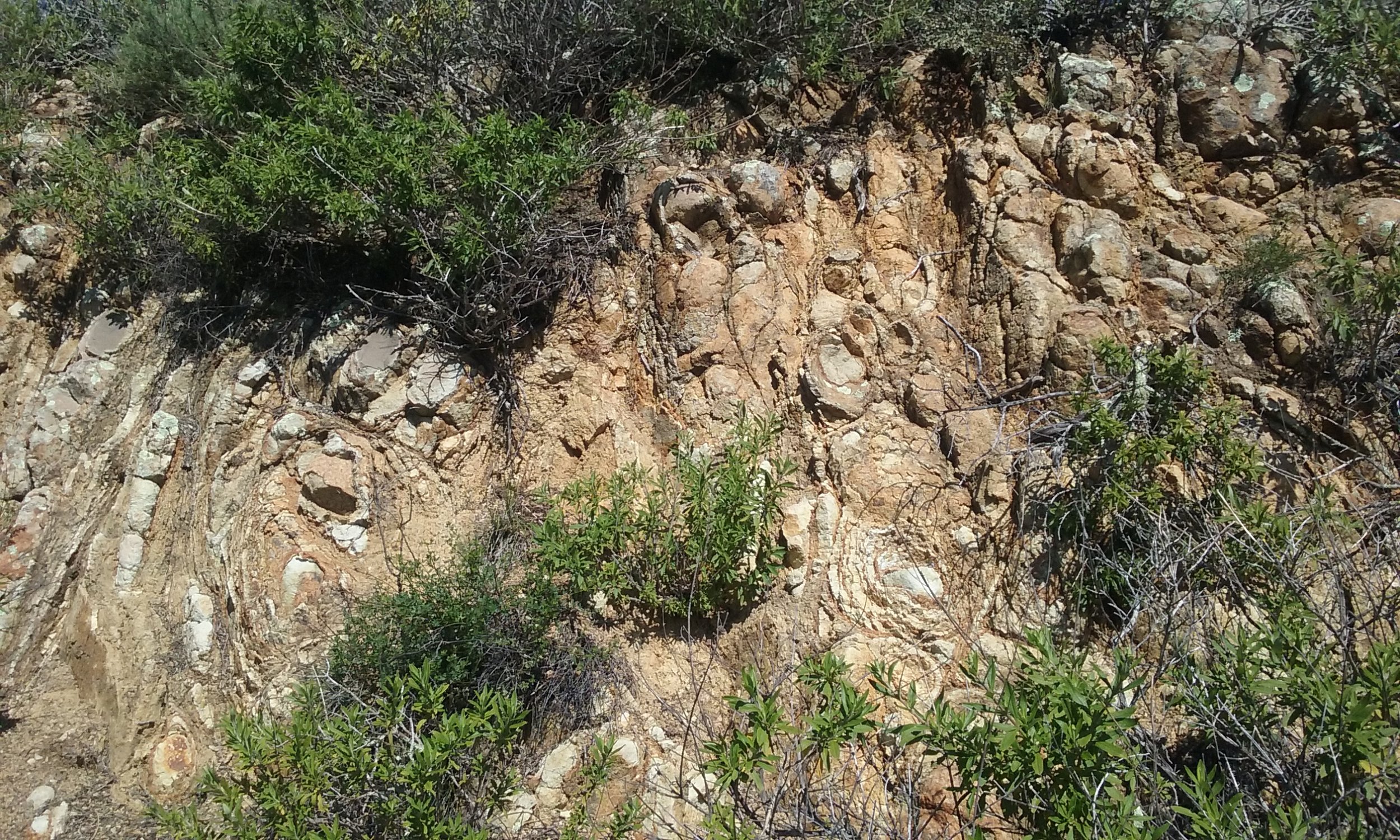
As a long-time archaeologist specializing in the California coast, Hylkema was interested in locating the remains of what Crespi called Casa Grande, the large roundhouse structure where the Quiroste hosted the Spaniards. Working from the expedition diaries, Hylkema knew the site must be near Año Nuevo Point. He listened to stories of local tribal people, studied the landscape, and scrutinized historical documents, motivated, as he put it, because “this is where pre-history met history.” First he searched along the Gazos Creek watershed in Pescadero. “But I realized the landscape there couldn’t have supported such a big building. It’s too wooded and there isn’t enough even ground.” Hylkema eventually located several sites on the valley floor of nearby Whitehouse Creek that evidenced historical Indian presence, so he zeroed in there.


With the help of students from Cabrillo College, in 2003 Hylkema radiocarbon-dated building material and plant remains, which showed that one of the major sites in the valley matching Crespi’s landscape descriptions had been occupied at the time of Spanish colonization. The archaeologists concluded they had located the remains of the historic village; subsequently, the site and its environs were protected as part of a 225-acre Quiroste Valley Cultural Preserve within Año Nuevo State Park.


Next, Hylkema turned to Chuck Striplen, then a UC Berkeley doctoral candidate and a member of the Amah Mutsun Tribal Band, for help exploring the site. While there are no known living descendants of the Quiroste people, the Amah Mutsun trace their lineage to historical polities in the area. Striplen, now an environmental scientist at the San Francisco Estuary Institute and a visiting scholar at UC Berkeley, assembled a multi-disciplinary team, including UC Berkeley archaeologist and California Indian scholar Kent Lightfoot, to begin the on-site investigation. The ongoing collaborative research at Quiroste includes the Amah Mutsun, researchers in disciplines such as ethnobotany and fire ecology, and state agency professionals.


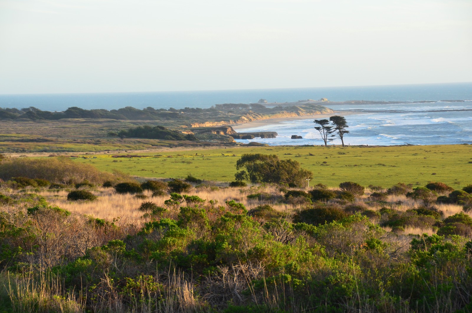
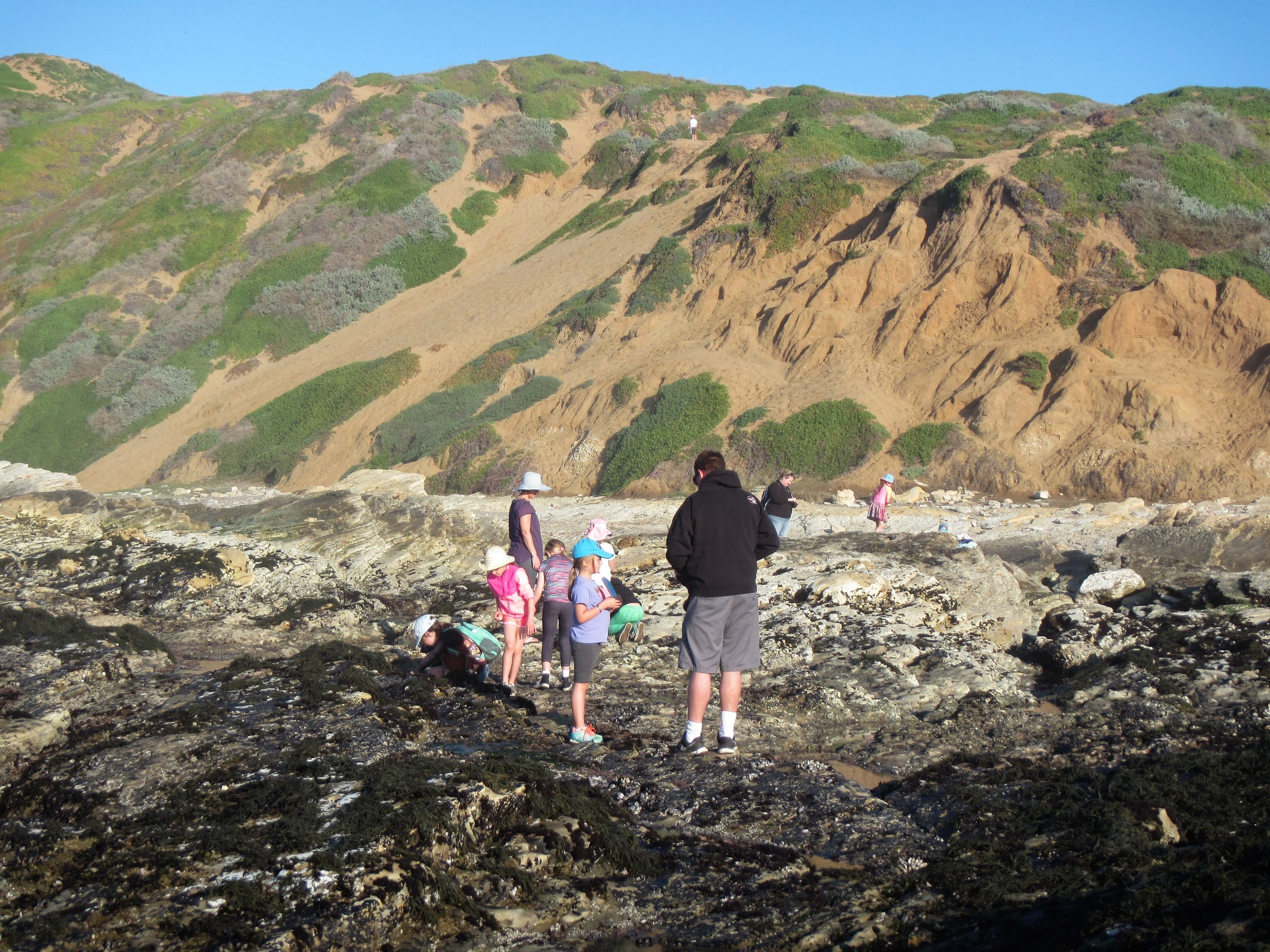
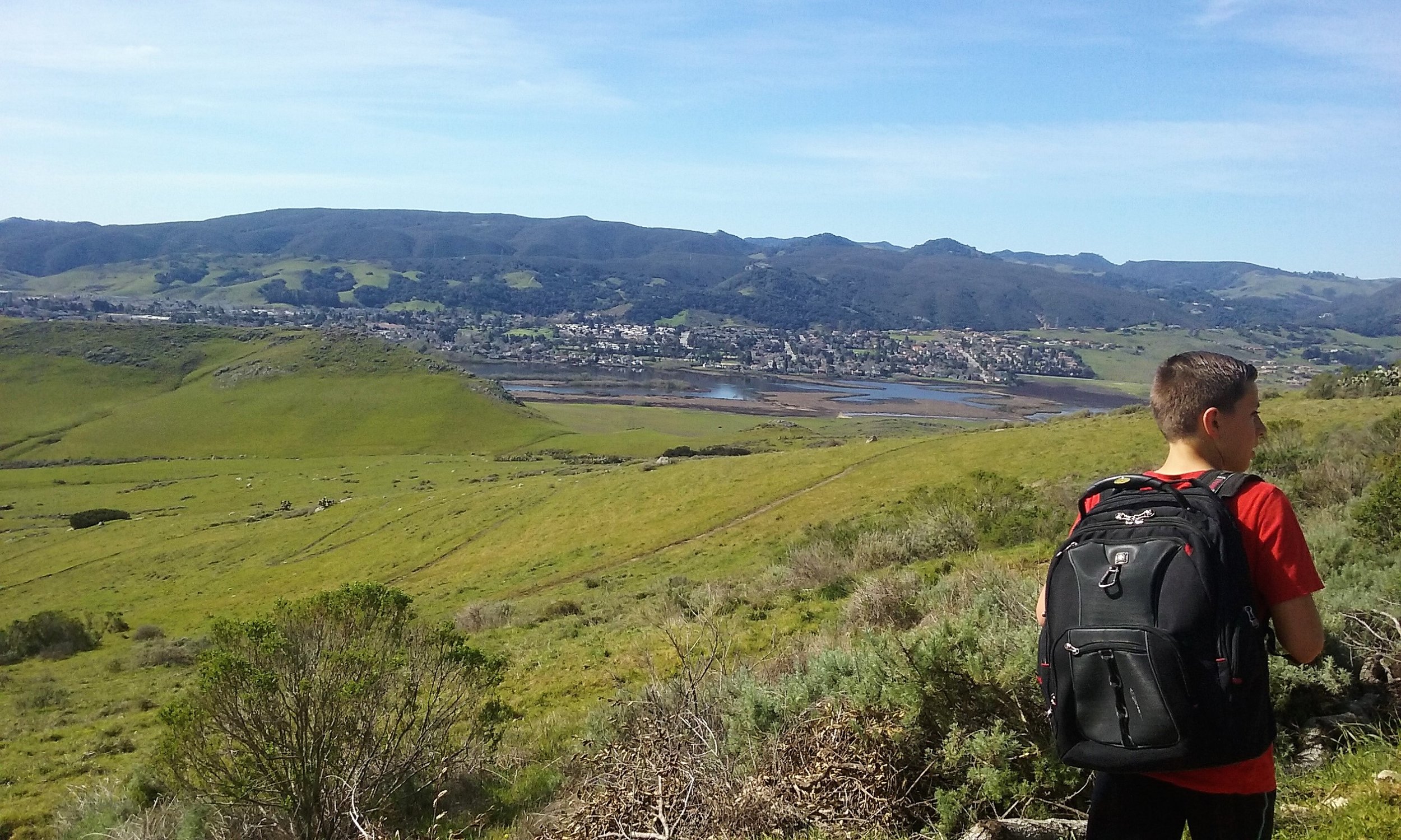
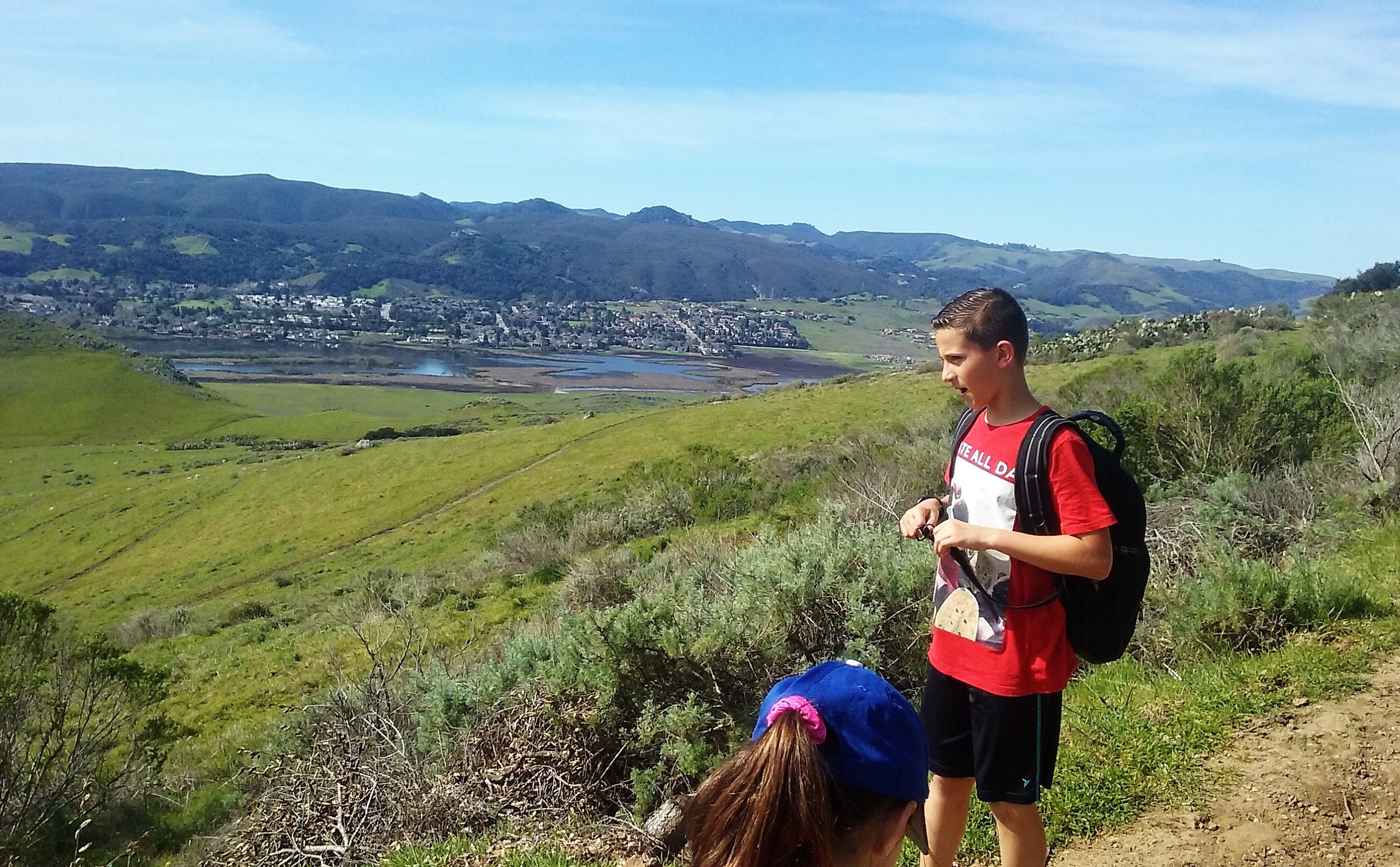
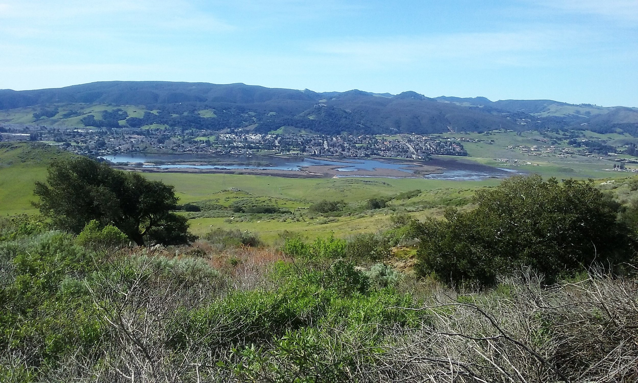
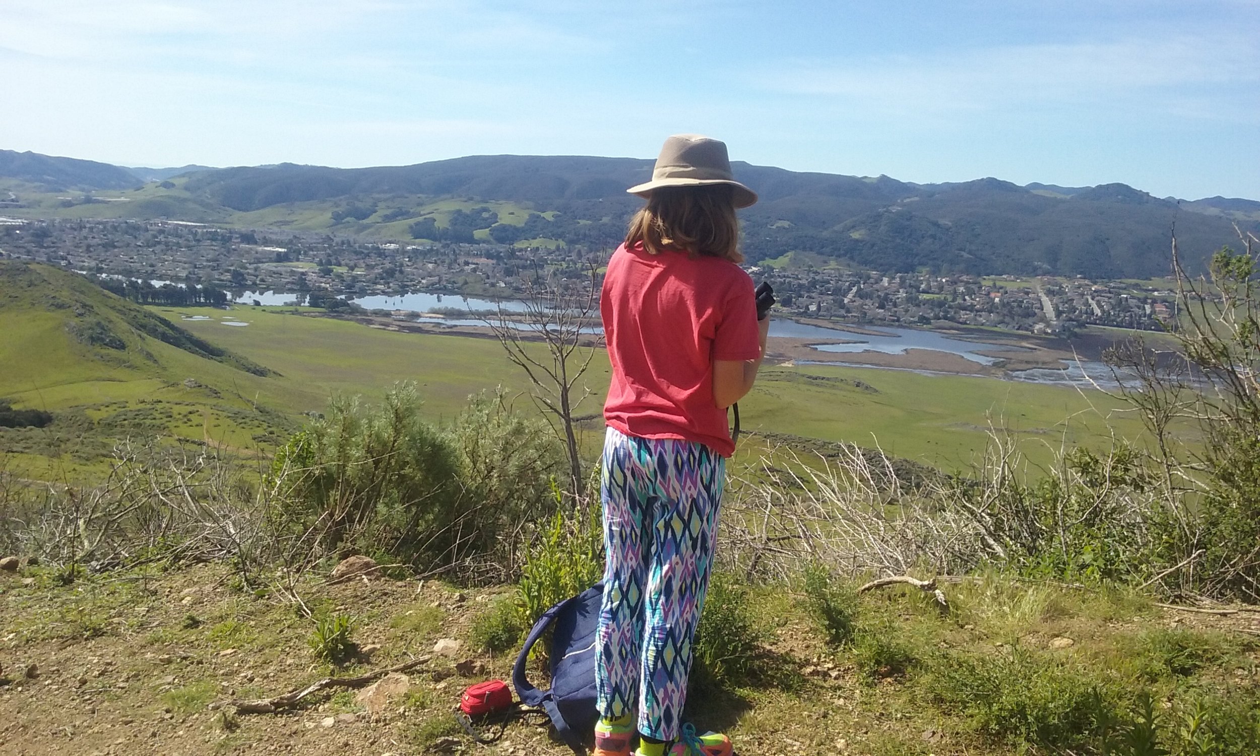
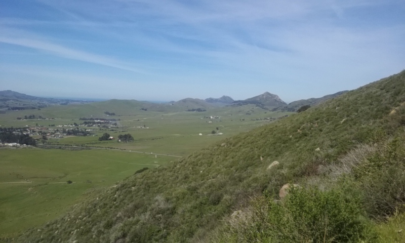
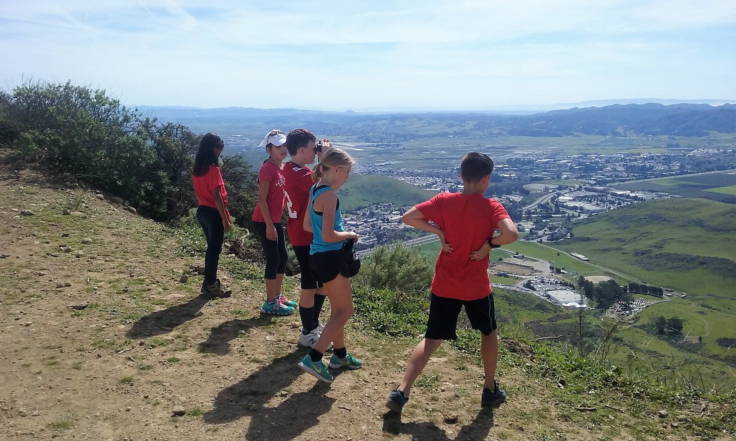
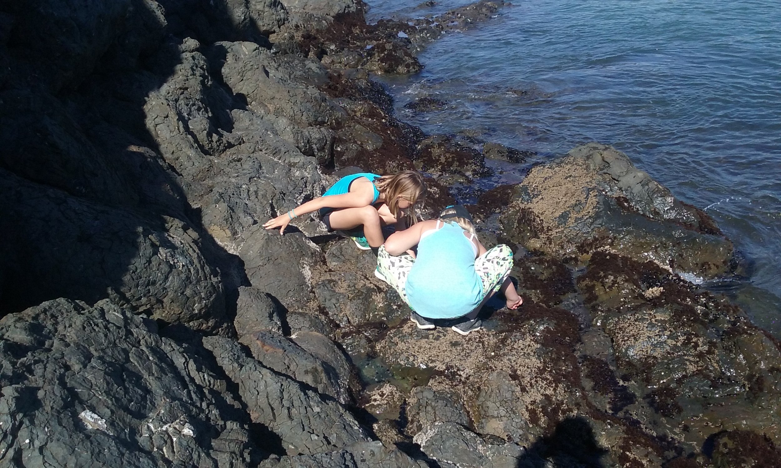
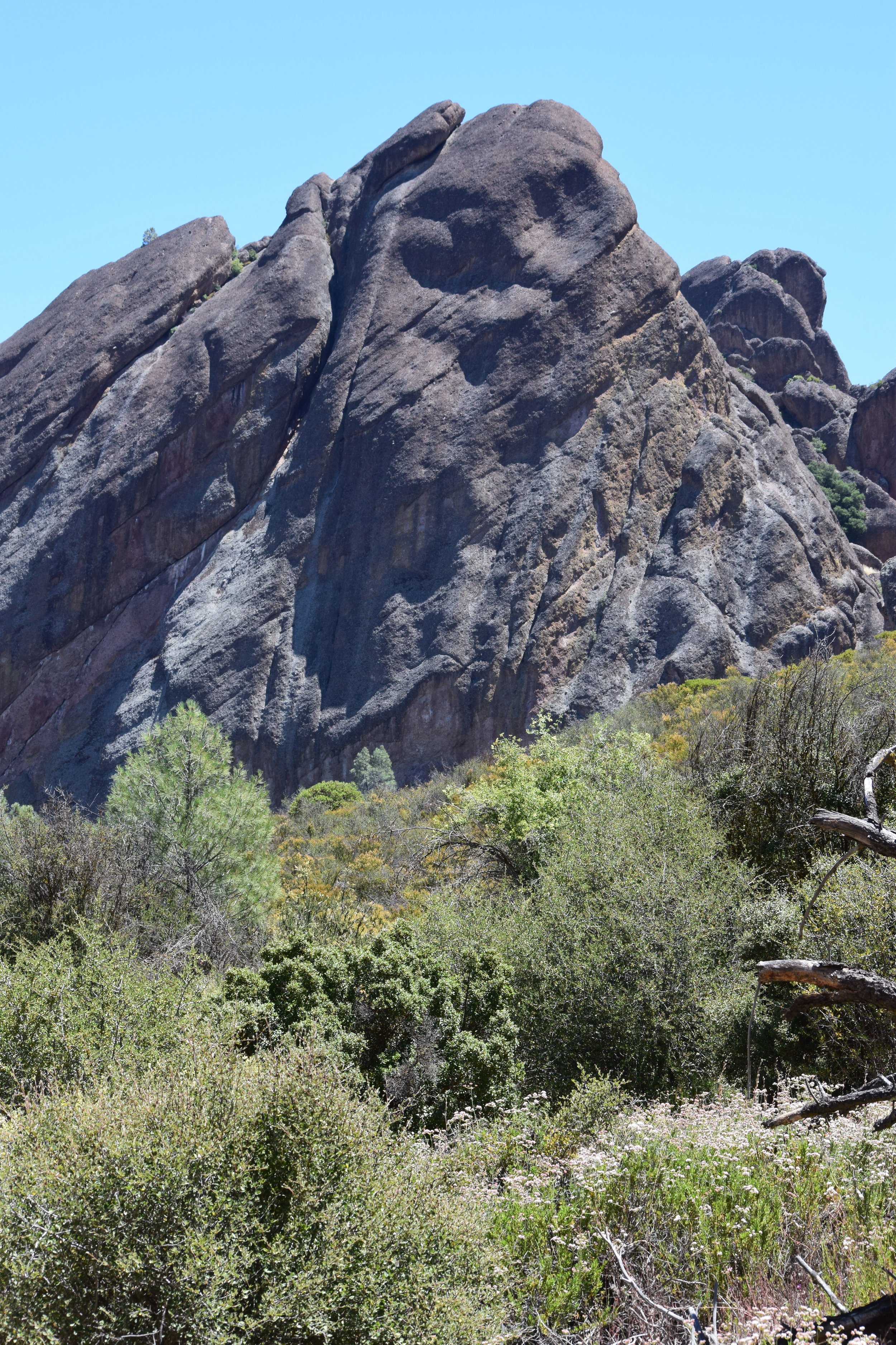
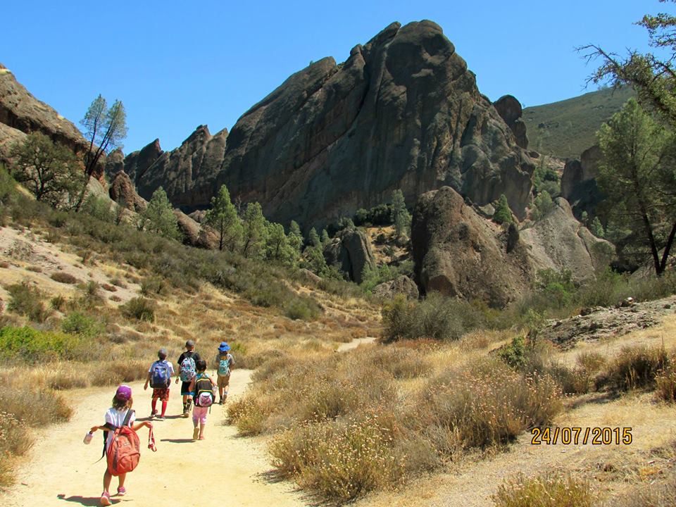
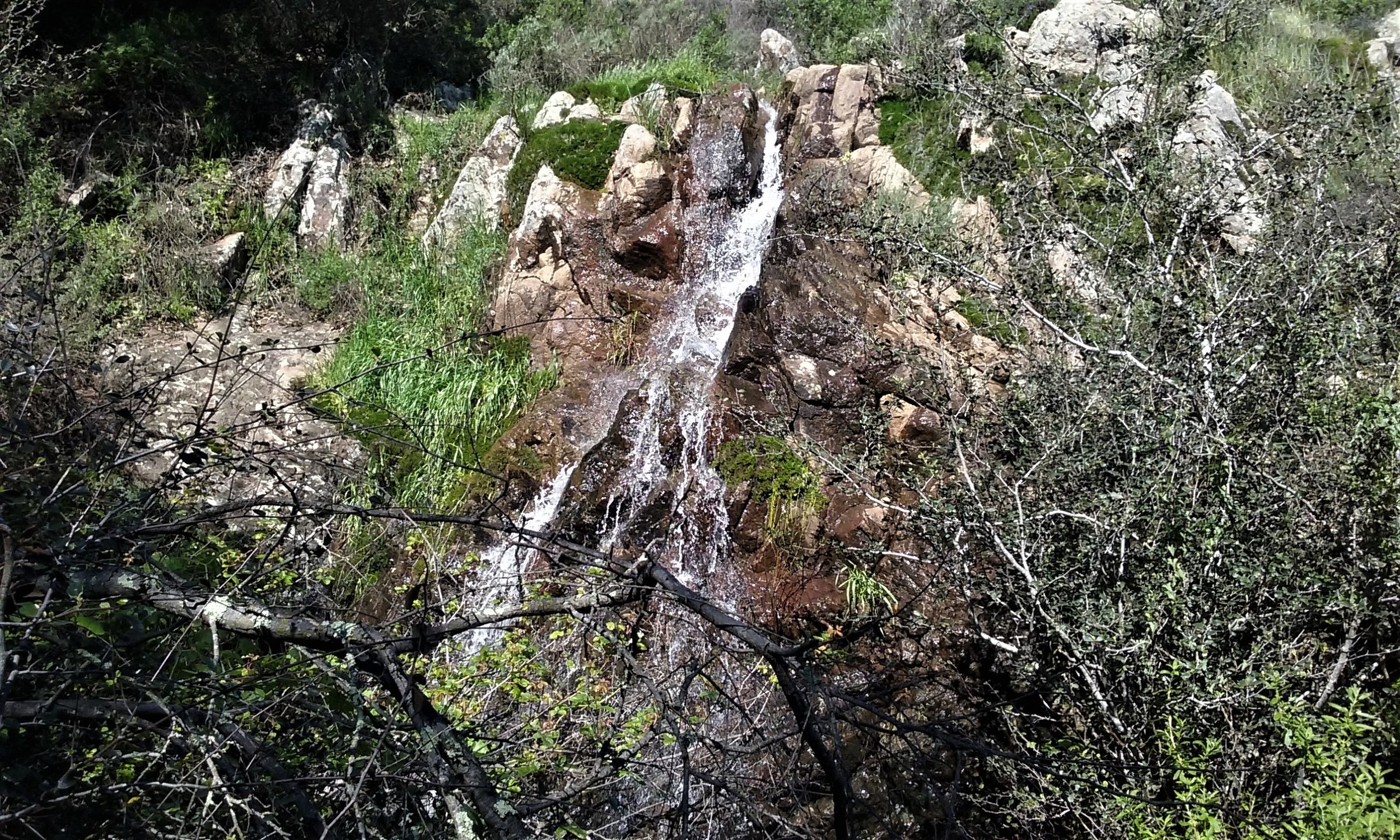
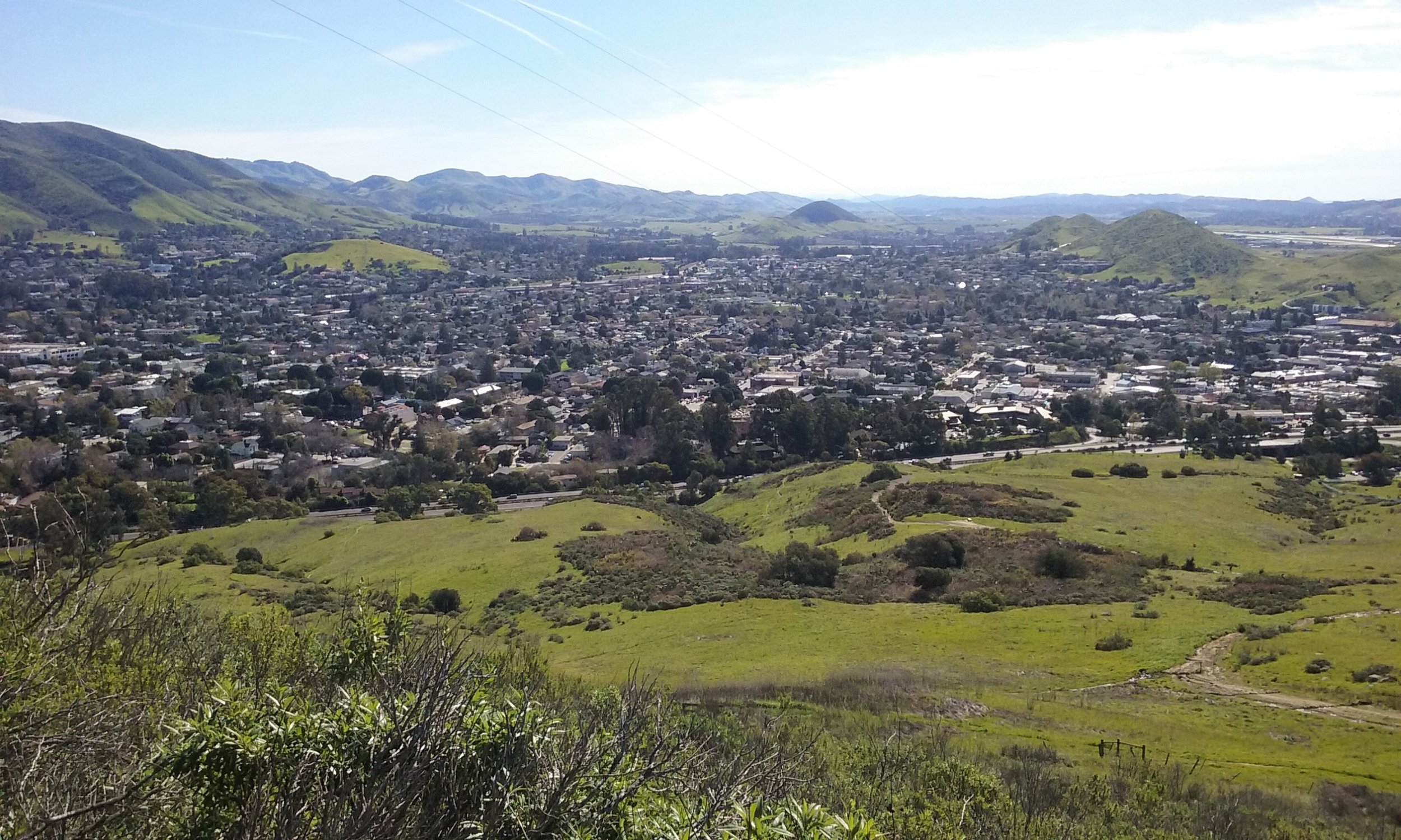
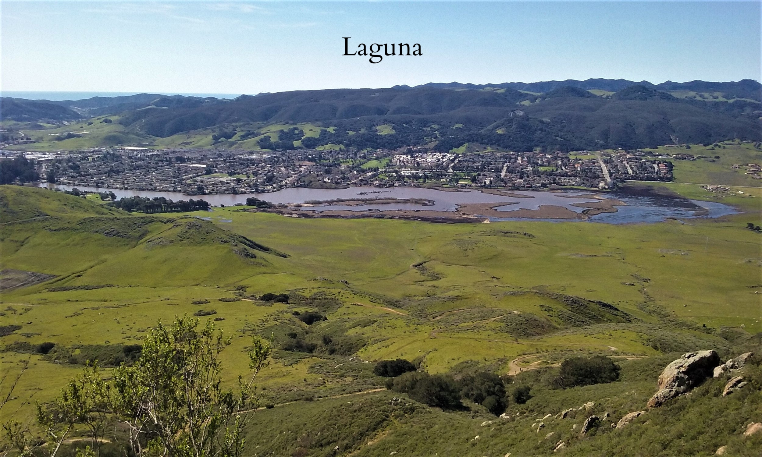
A view of the Quiroste Valley to Año Nuevo Point includes the scrub-dominated slope in the foreground and the grassland prairie — site of a recently controlled burn — behind. (Photo by Sally Rae Kimmel)


A PEOPLE WITHOUT LAND
Tall and gently authoritative, Chairman of the Amah Mutsun Tribal Band Valentin Lopez has more than once reminded me that today’s California Indians live in two worlds. After working for the state of California for 28 years, including five years as commander for recruitment and testing for the California Highway Patrol, today Lopez is “retired” and focused on Amah Mutsun affairs. His right eye drifts, as if keeping tabs on another dimension. “In 2005 tribal elders came to a tribal council meeting and said, ‘We have to get back to caring for the land. Creator never rescinded our obligation to do that.’”

Lopez chuckled. “Can you imagine, these people with minimum-wage jobs—if they have them at all—and who don’t own any land themselves, saying we have to steward it? Now, where were we going to do that?” Lopez added that saying no to tribal elders was not an option. His dilemma was that the Amah Mutsun have no officially sanctioned tribal territory upon which to exercise their responsibility to Creator. This is both an existential quandary and a practical problem. Identity may be a birthright, but for Native Californians it is also established through observances and actions on behalf of the natural world.

“The Amah Mutsun and other coastal Indians were impacted particularly hard by colonialism,” Kent Lightfoot explained to me. In the Mexican period, the missions were closed by new colonial masters, and so-called Mission Indians were sent to work on large ranchos, even farther removed from their original land base. Today’s Amah Mutsun Tribal Band is composed of approximately 600 people who are direct descendants of several Mutsun-speaking tribal groups dispersed to the San Juan Bautista and Santa Cruz missions. Because they have been separated from their ancestral lands for so long, and their treaty with the federal government never ratified, the Amah Mutsun are not recognized as a sovereign tribe by the United States. Nonetheless, Lopez took the injunction from Amah Mutsun elders seriously and set about looking for ways to reinstate tribal stewardship of the land. When Hylkema and Striplen invited the tribe to participate at the Quiroste site, Lopez saw an opportunity.


A LANDSCAPE DEPRIVED OF FIRE
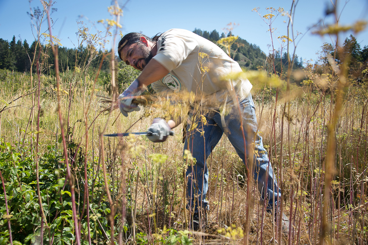
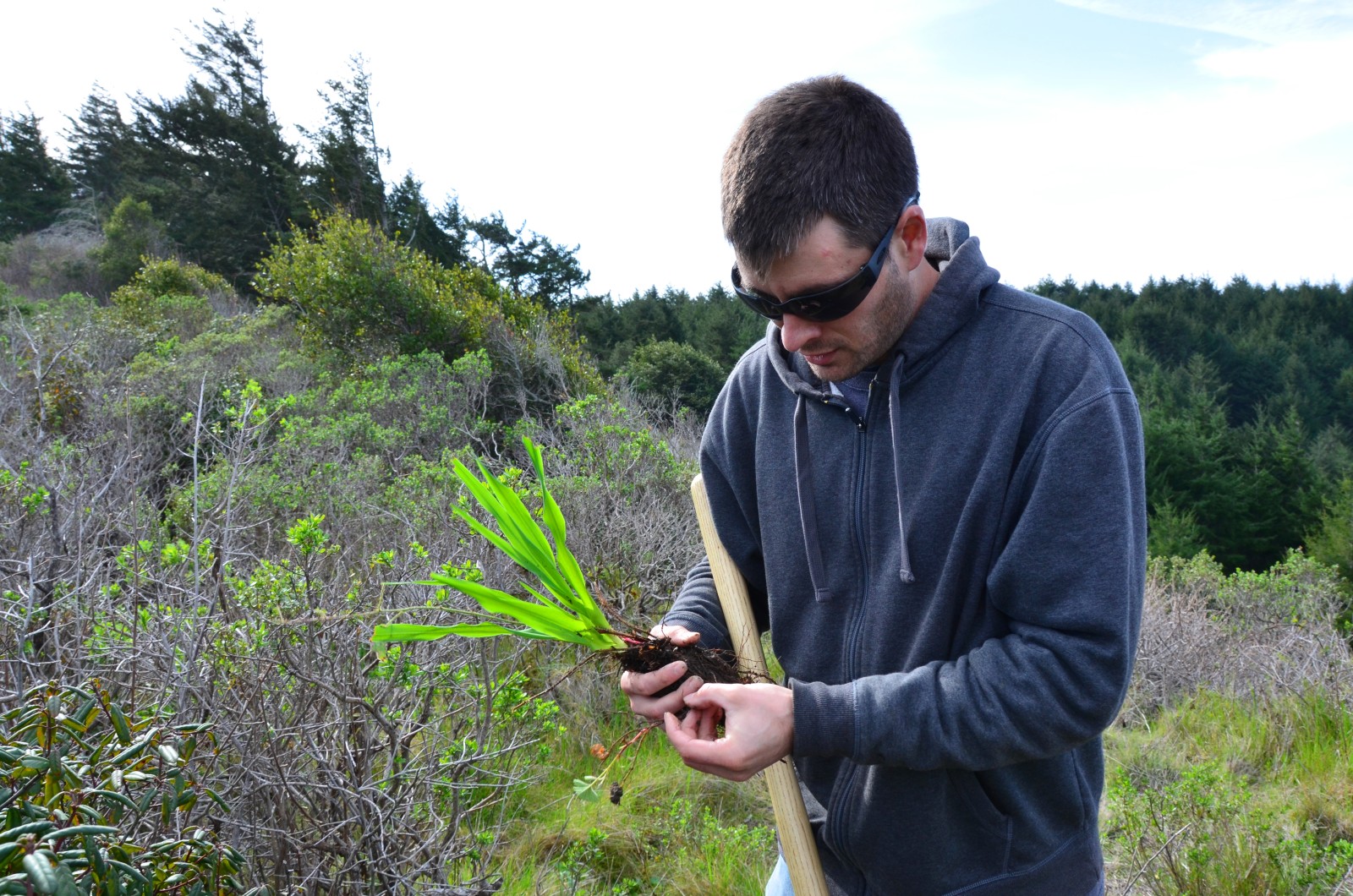
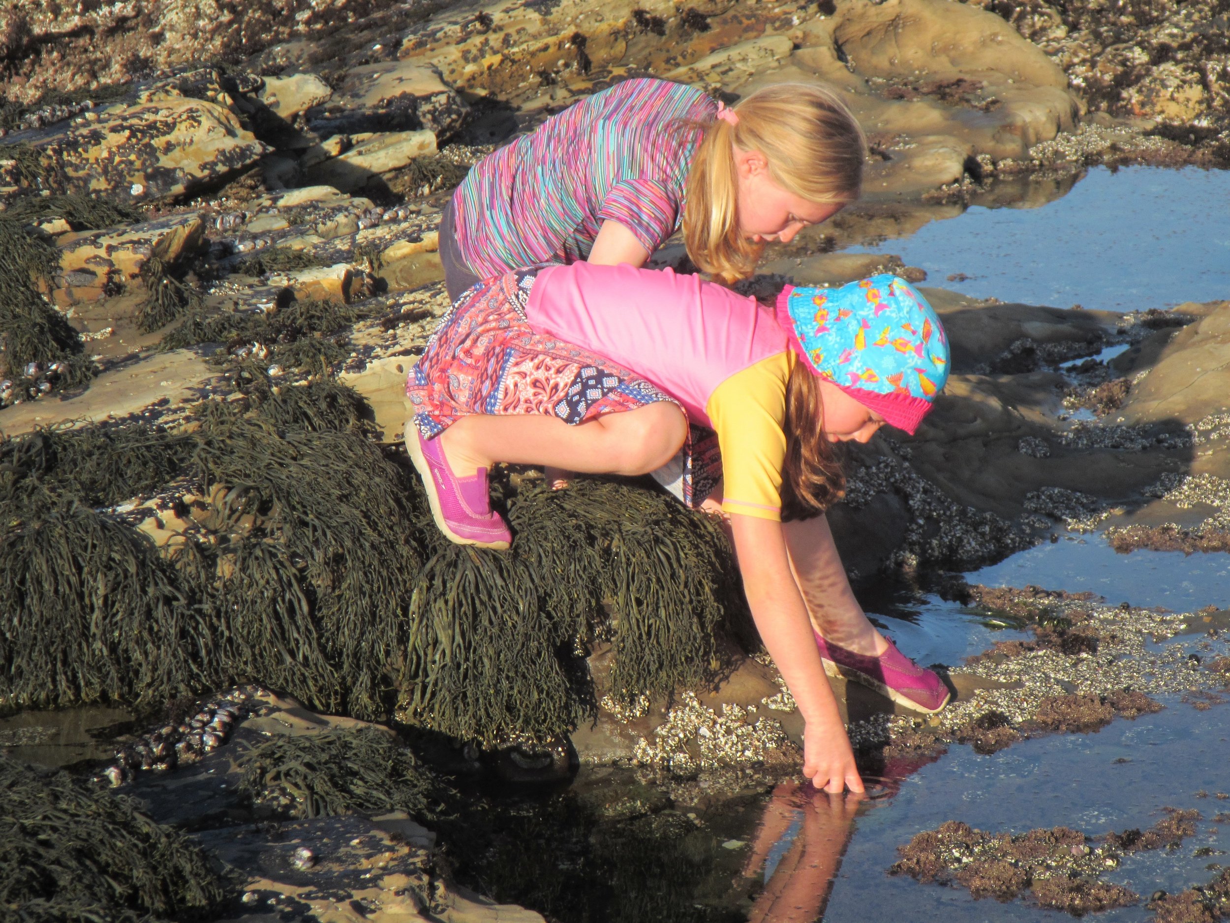
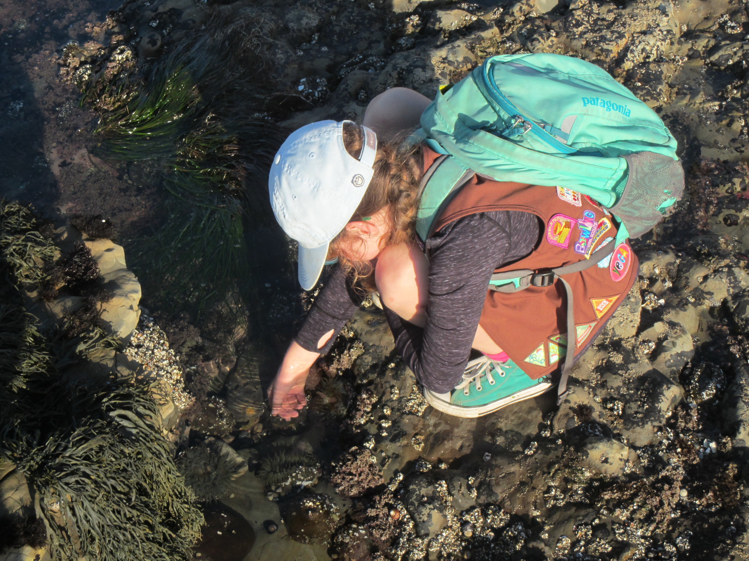
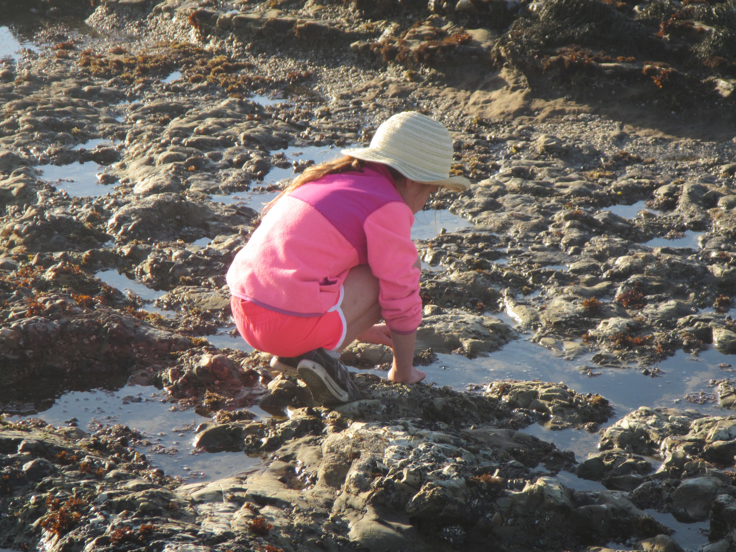
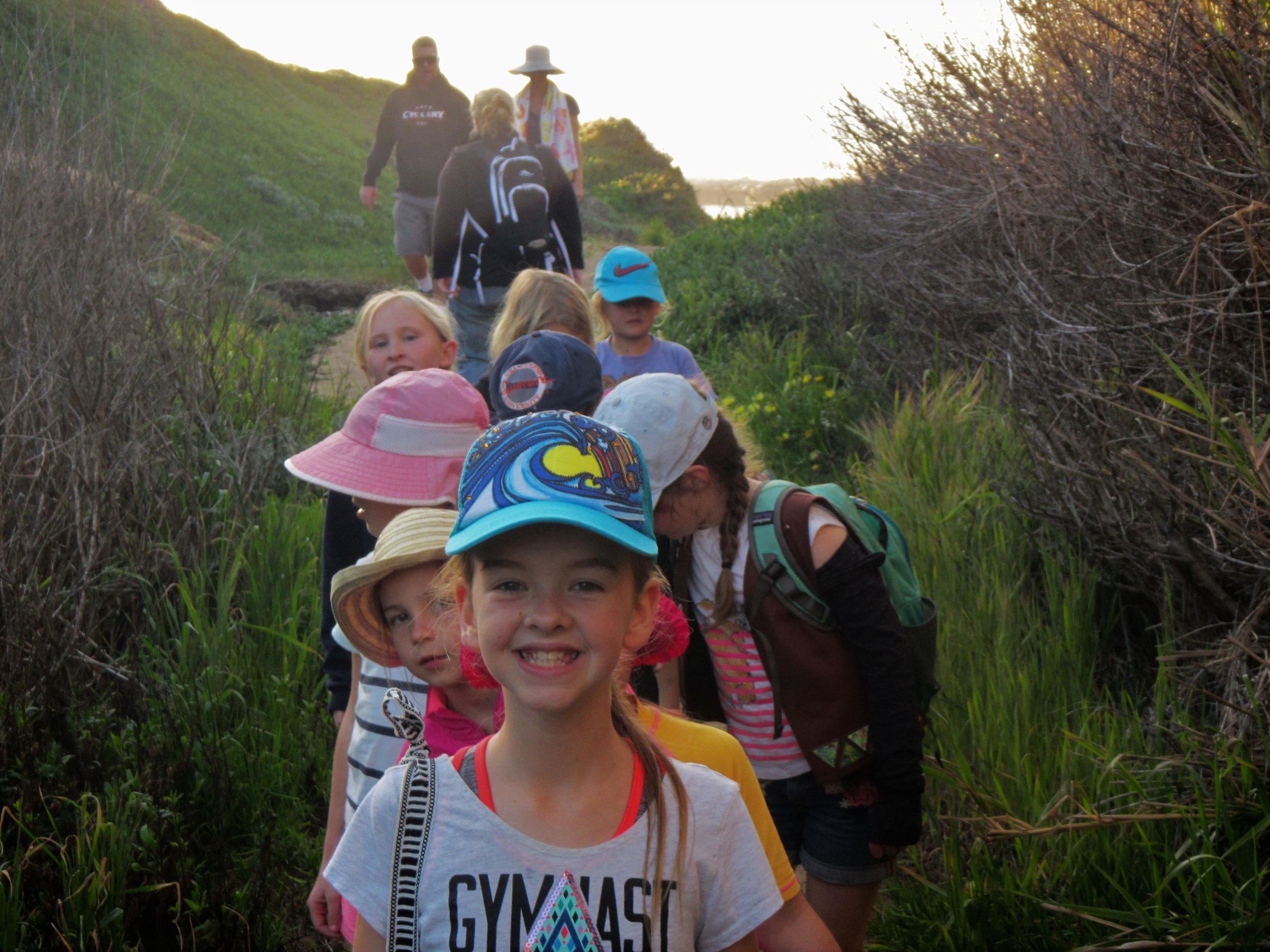
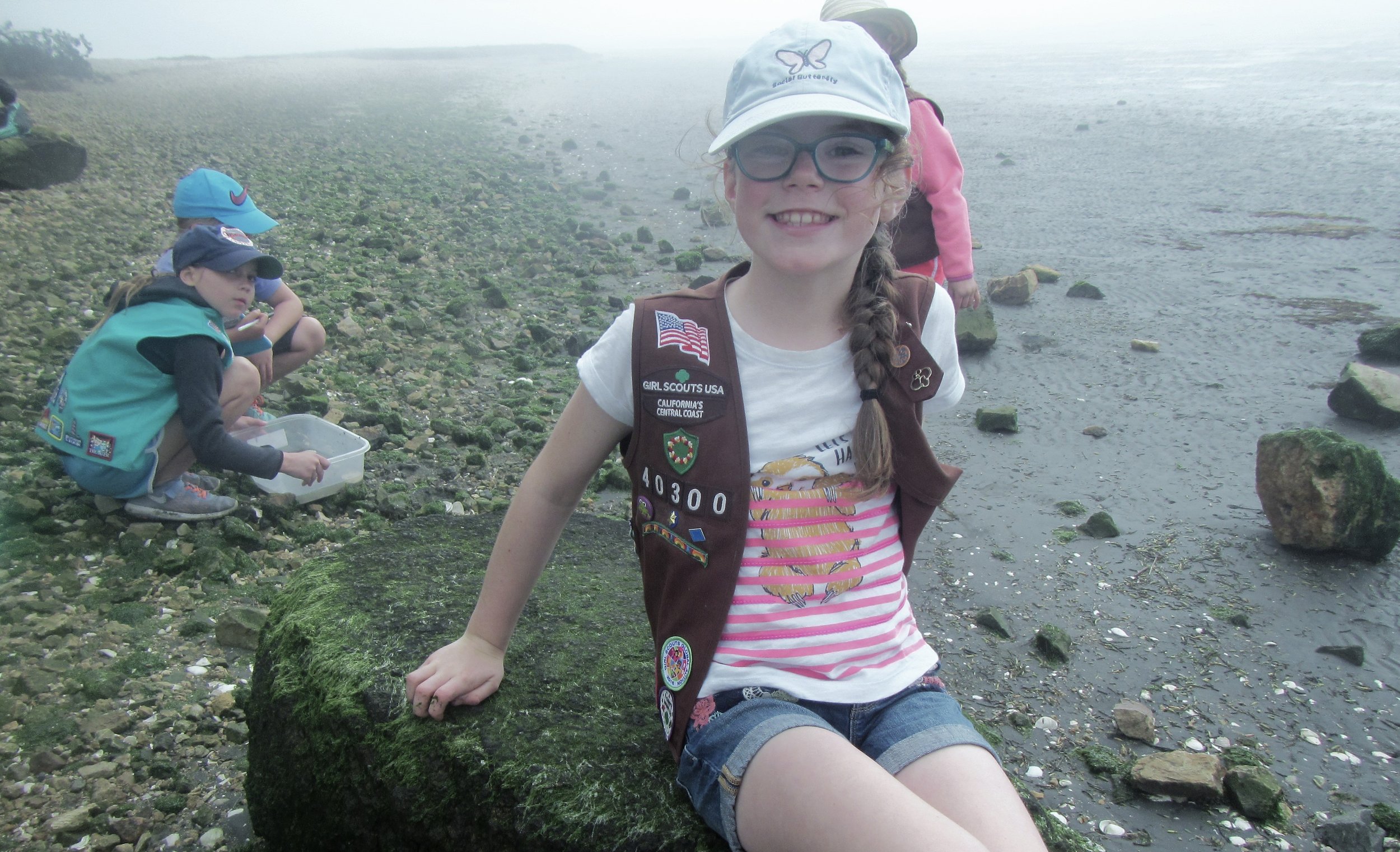
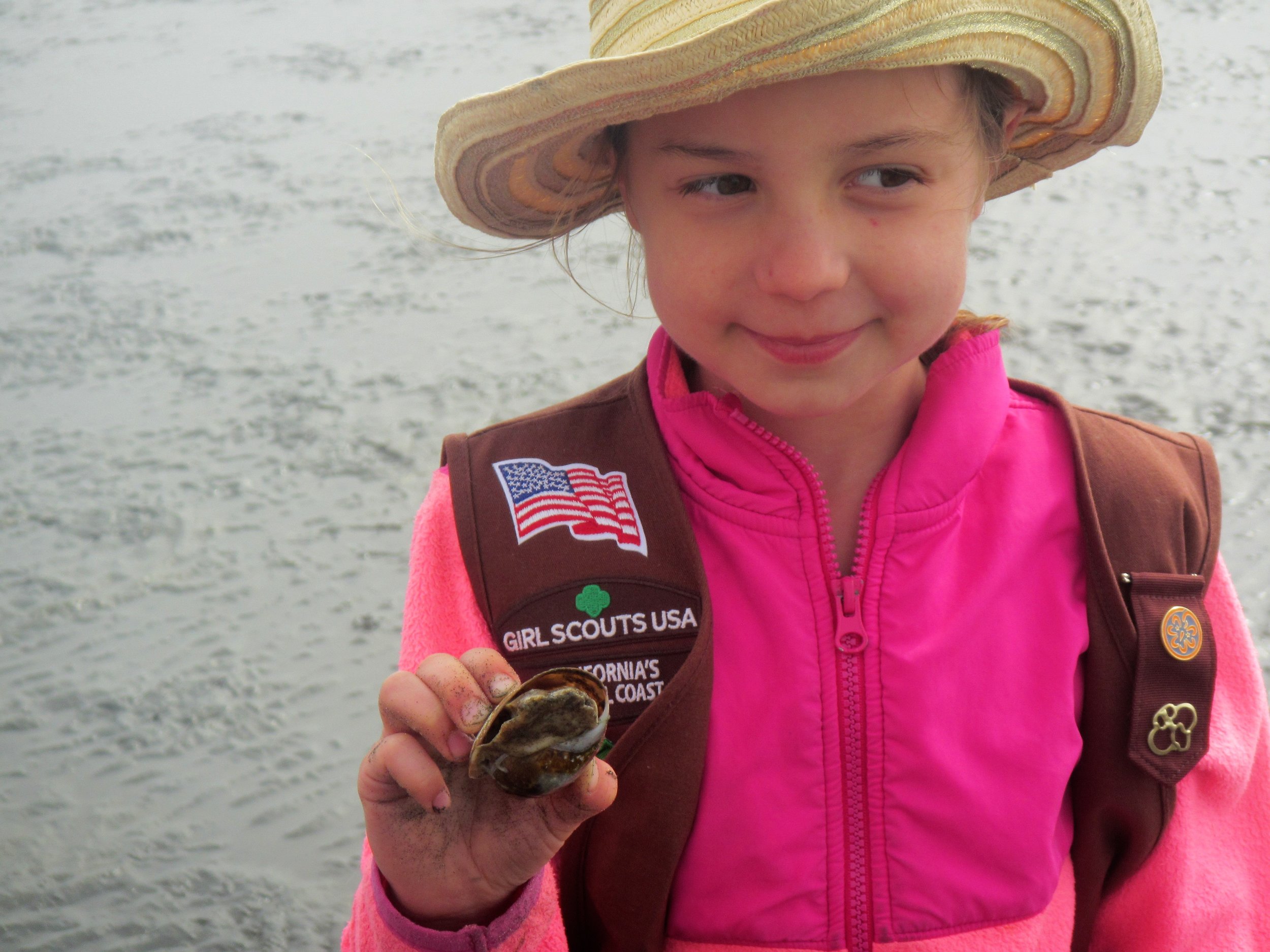
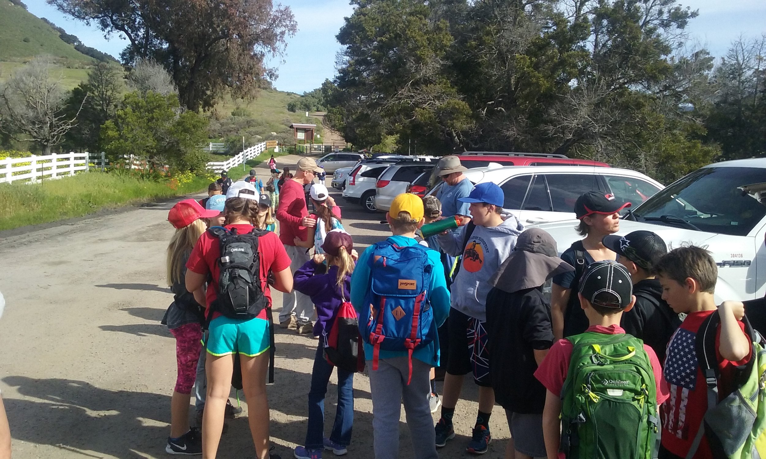
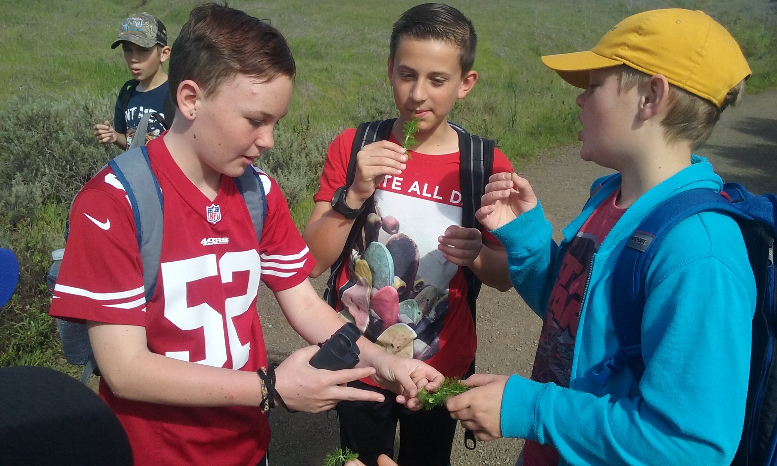
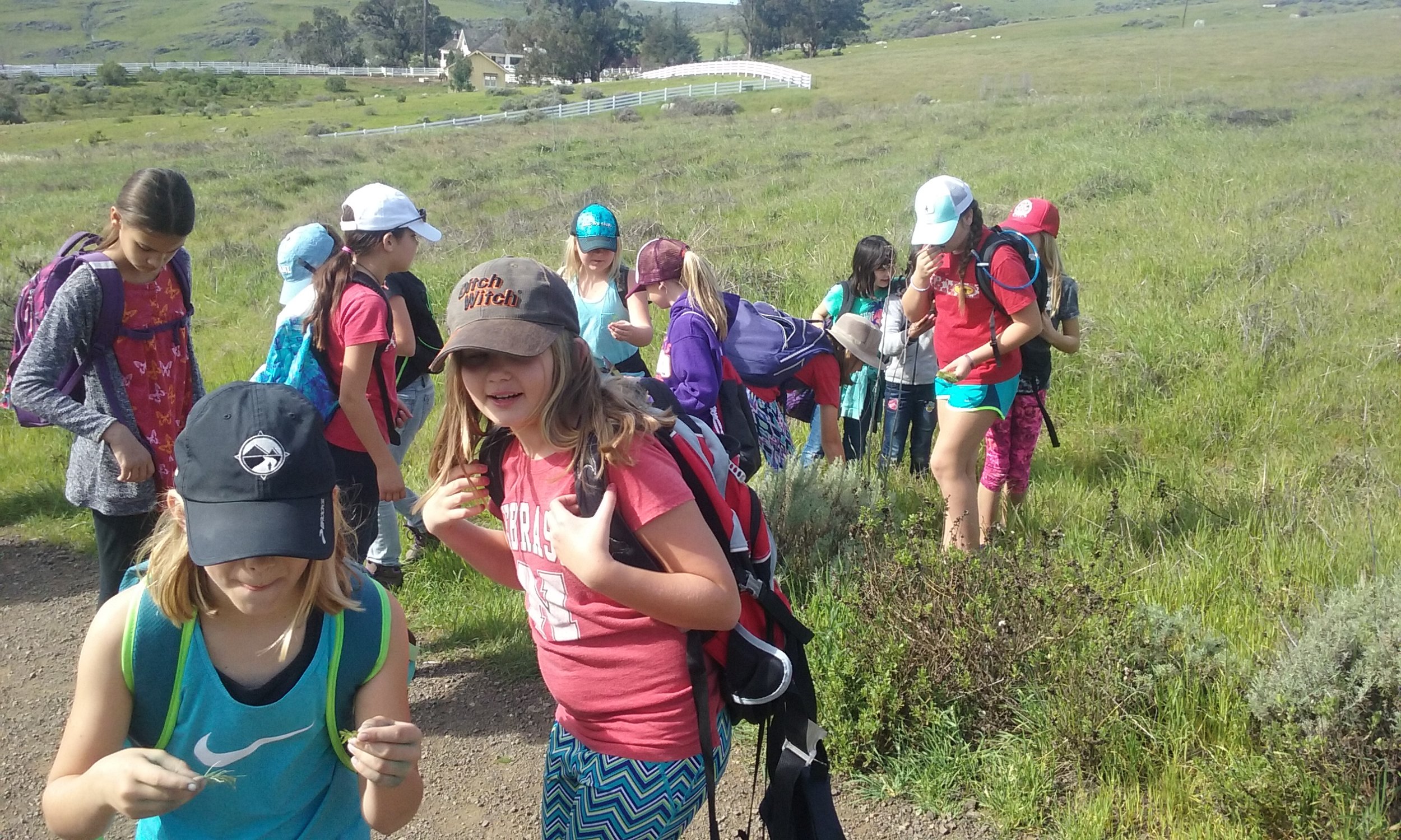
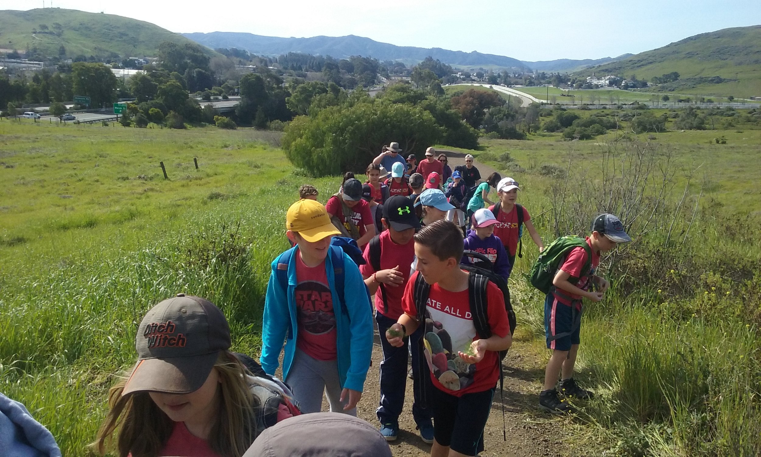
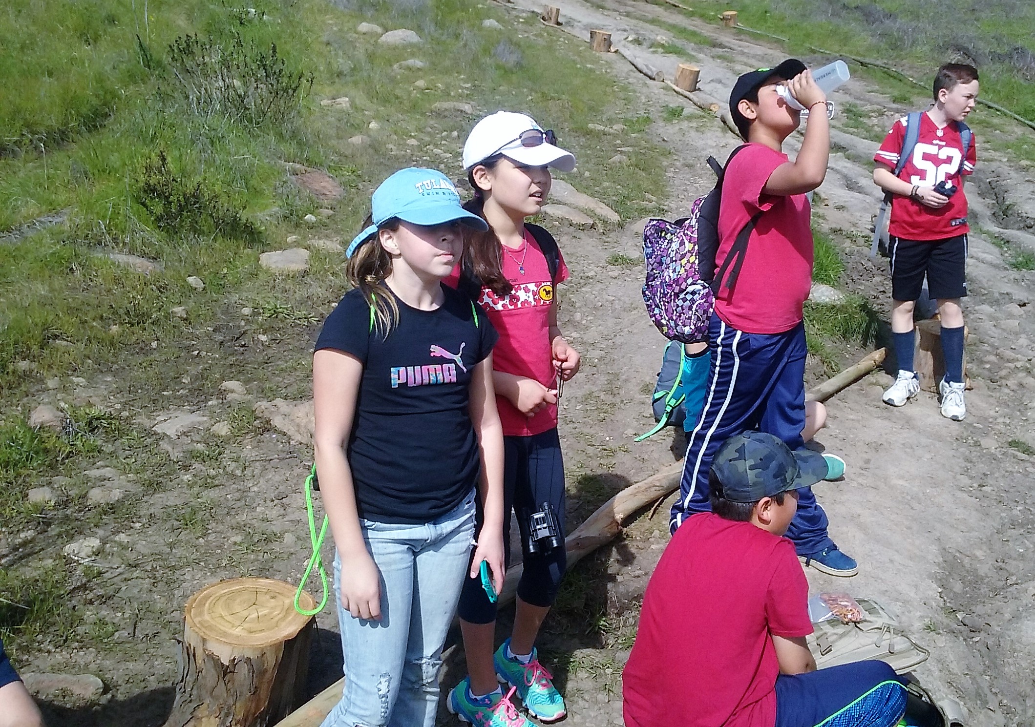
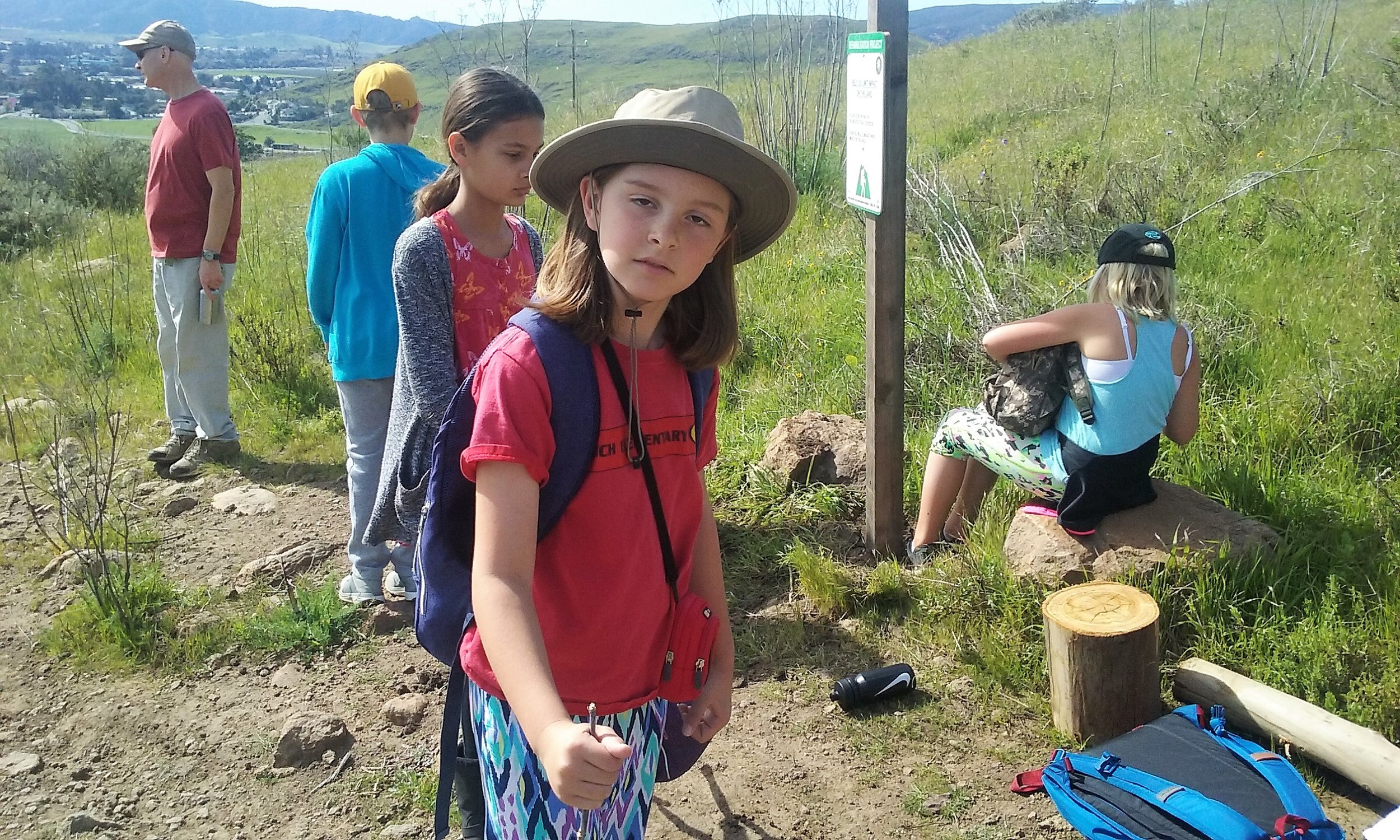
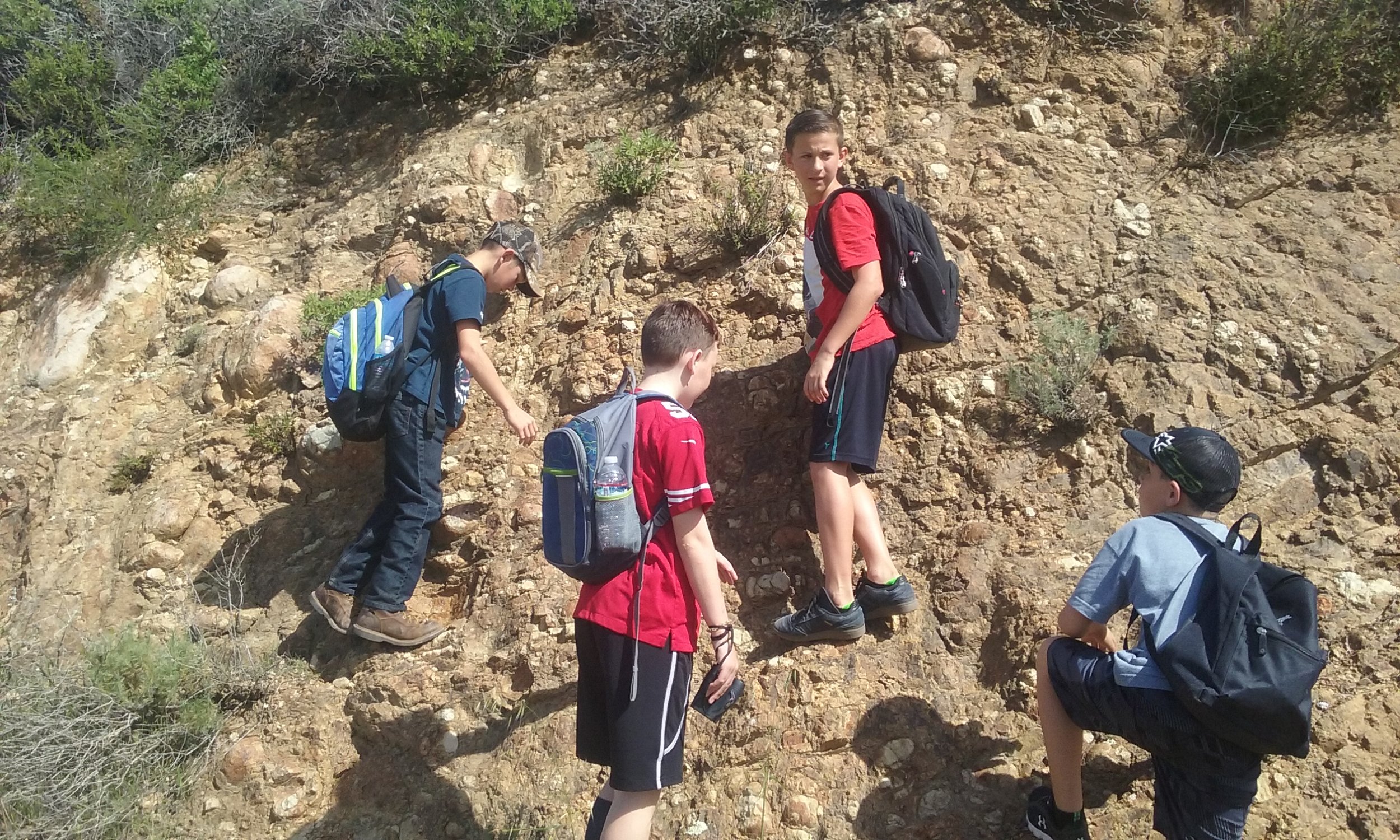
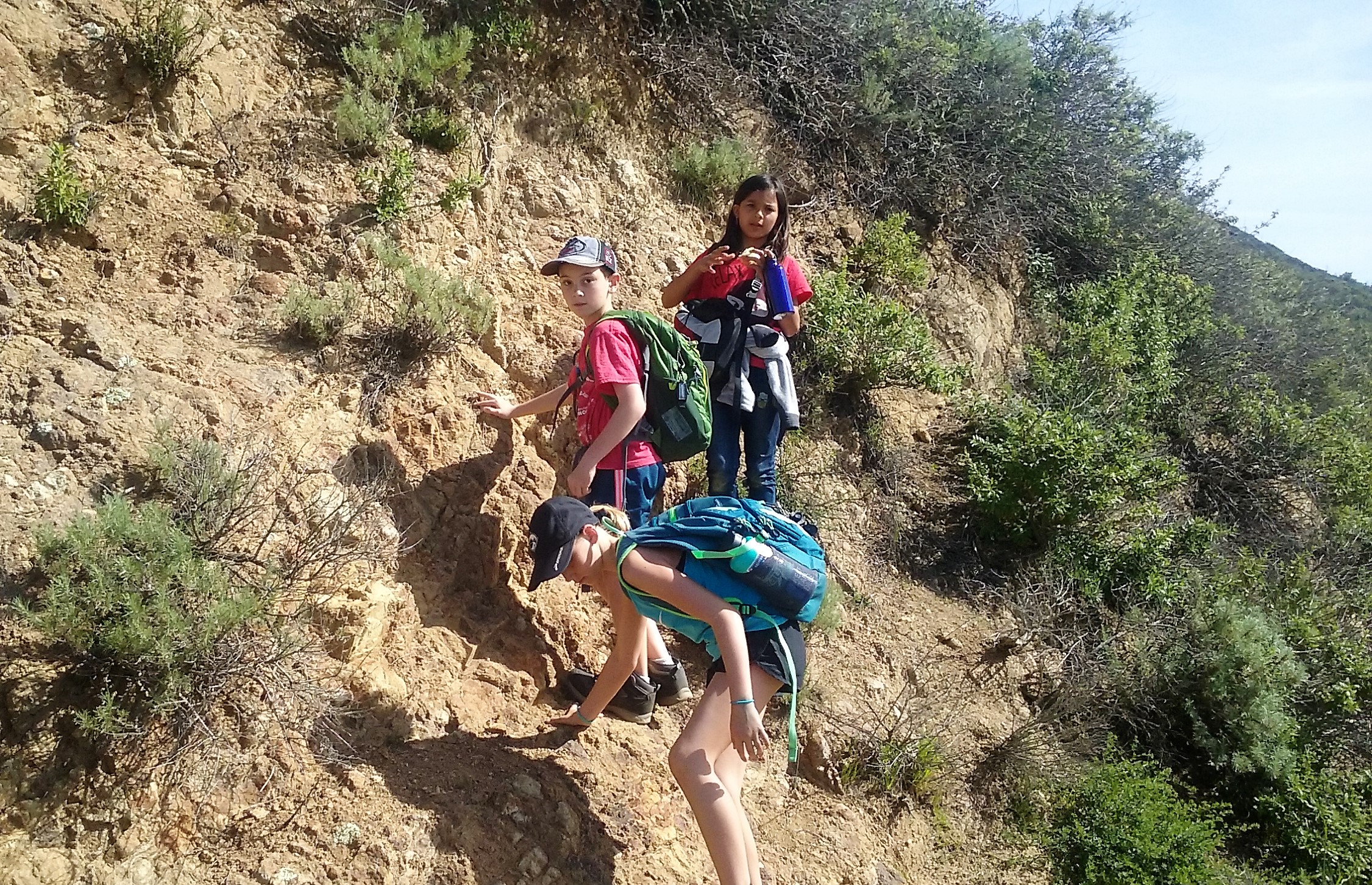
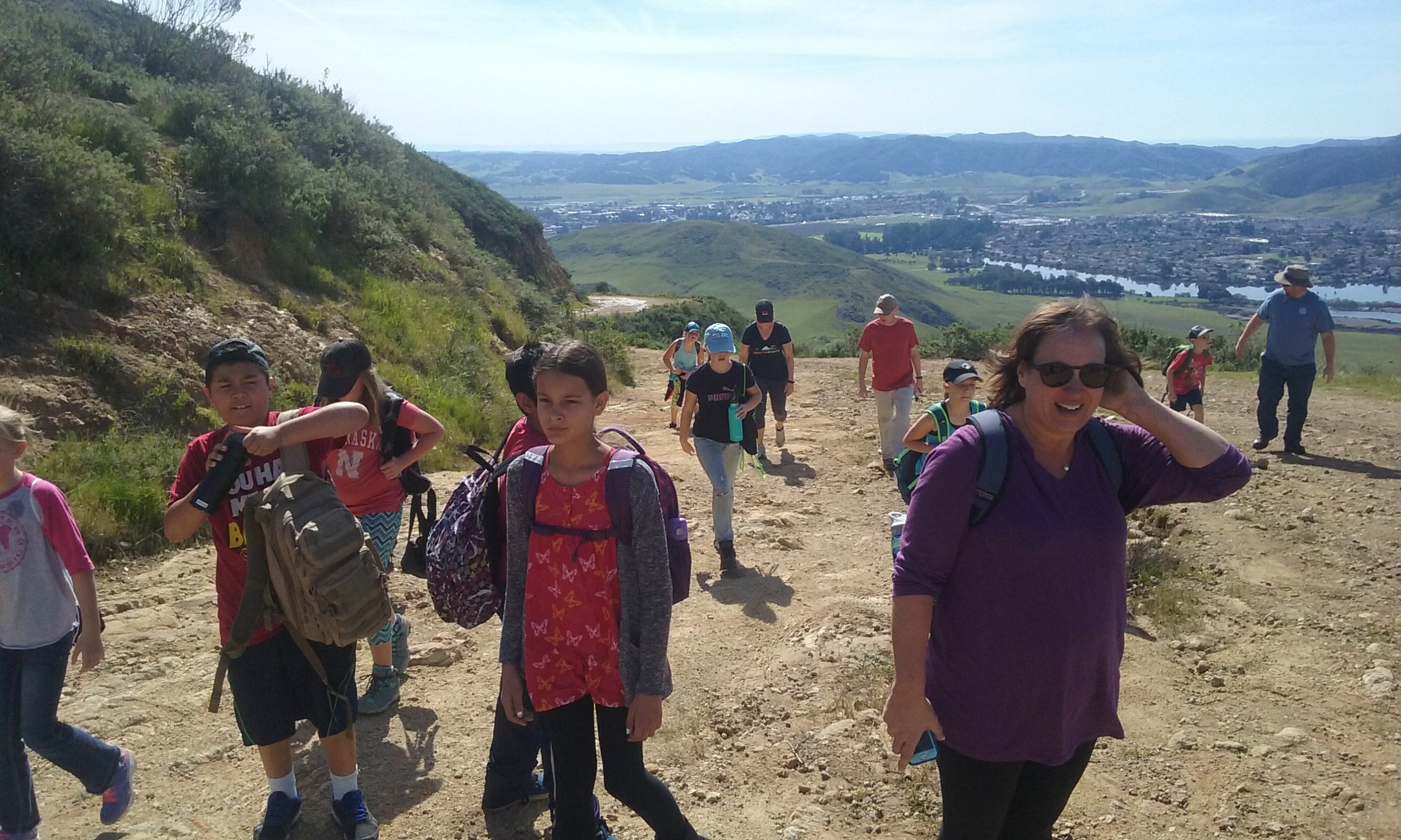
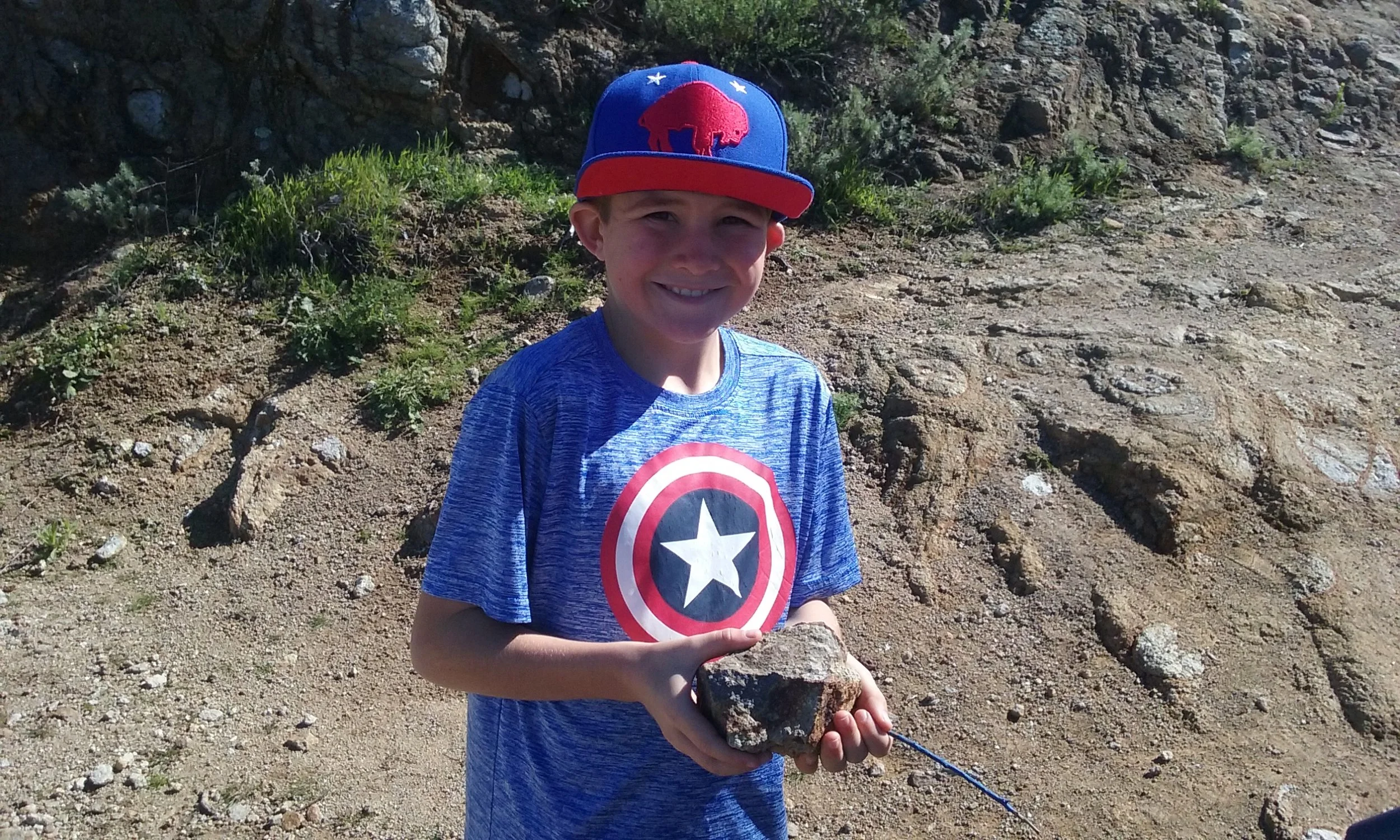
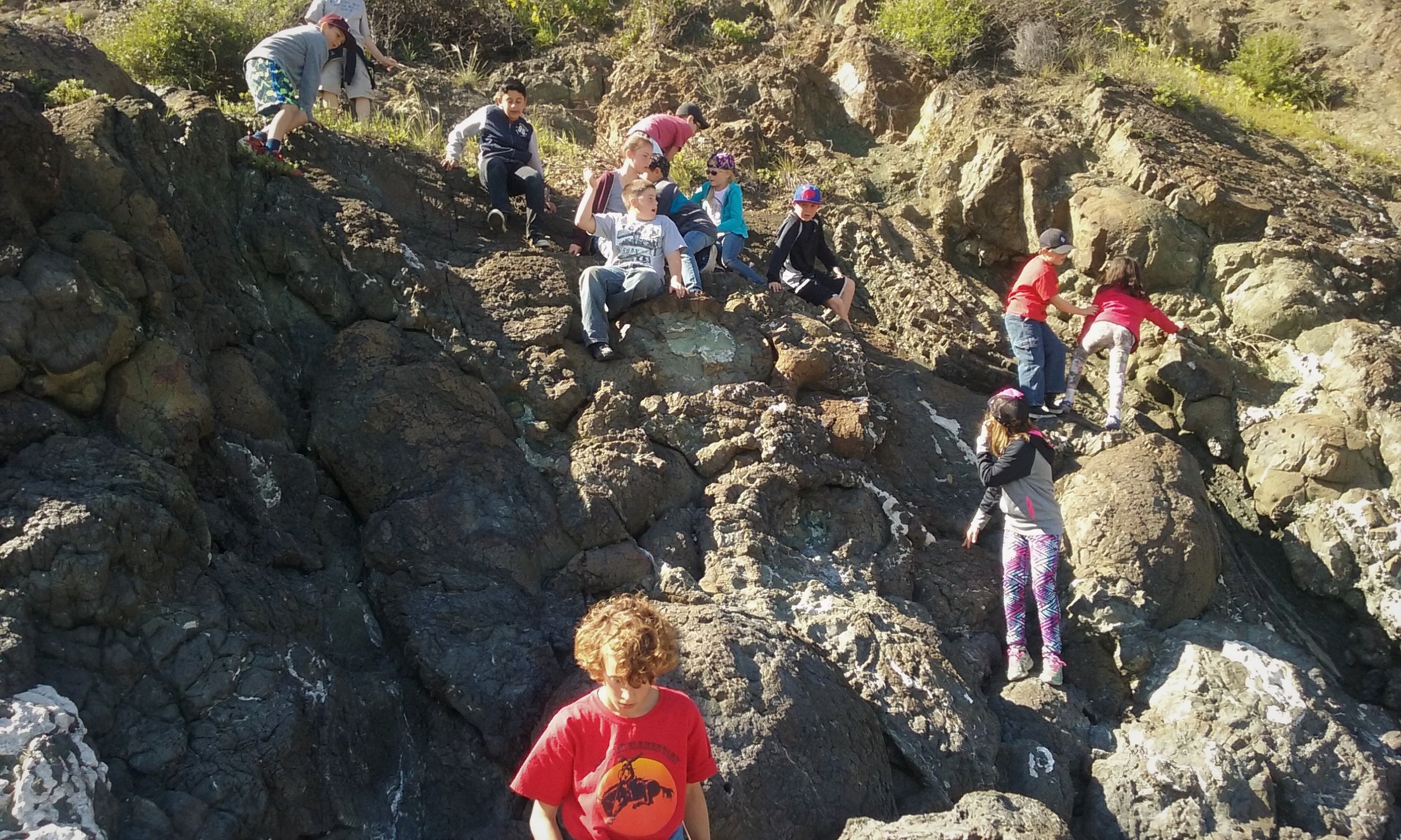
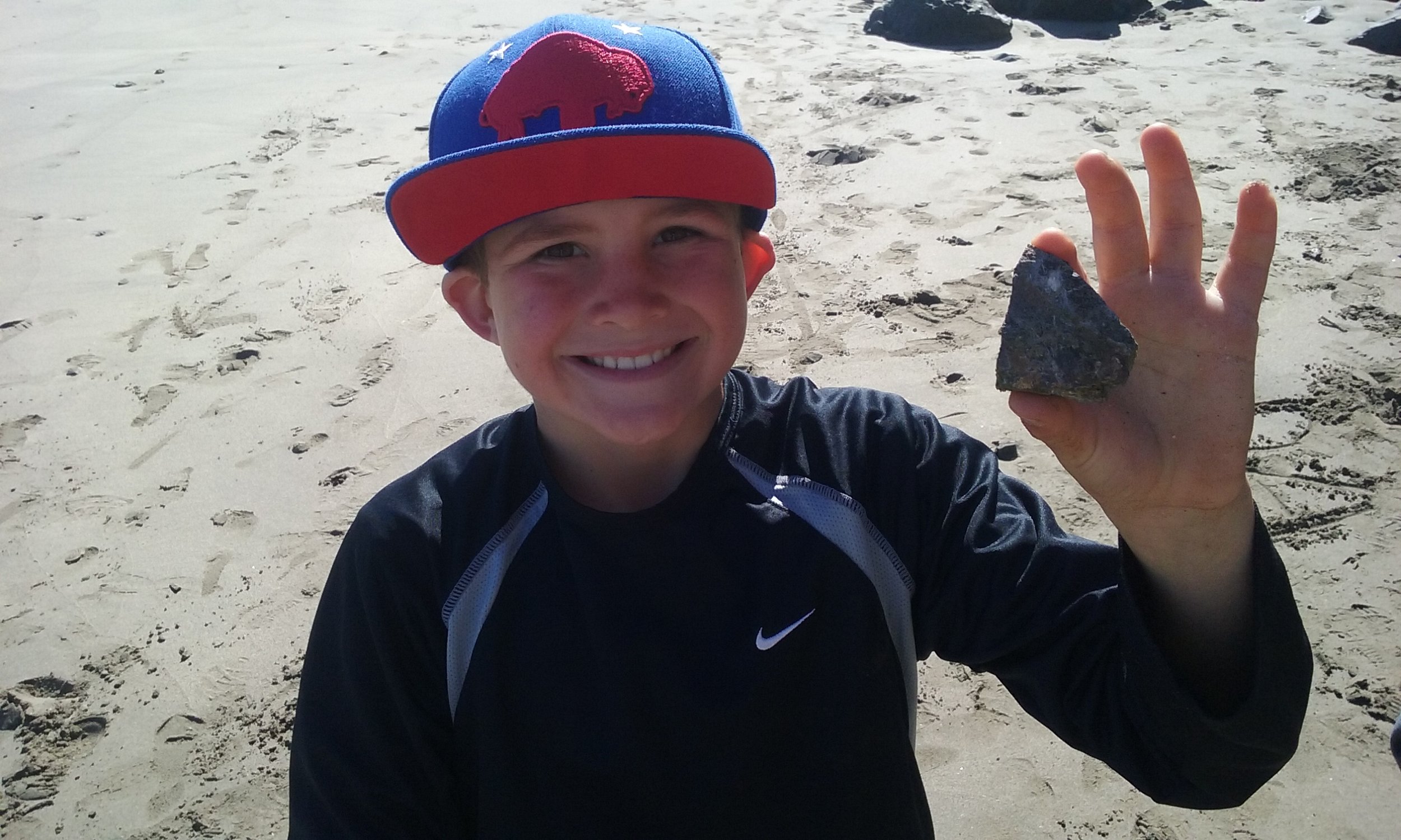
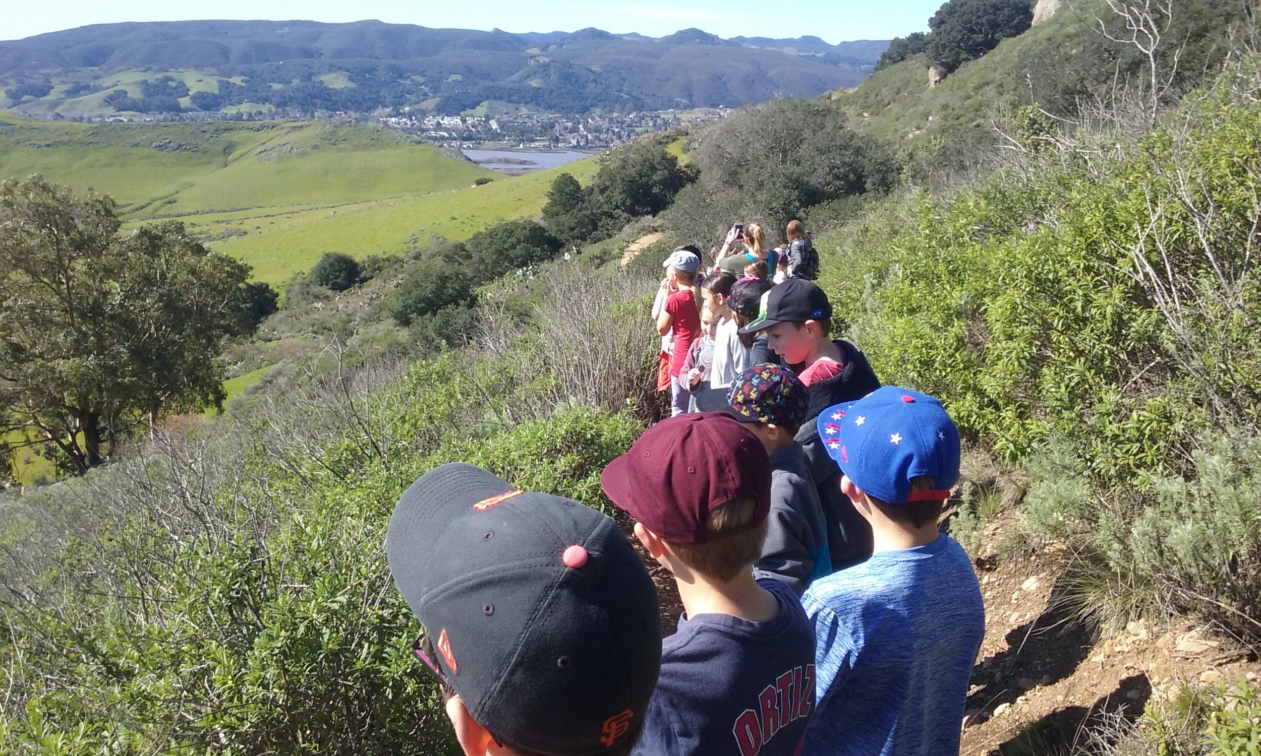
On a sunny, clear July morning in 2015 I joined members of the Amah Mutsun Native Stewardship Corps and the research team from UC Berkeley at Quiroste. The corps consists of younger tribal members who are learning their heritage by doing, which in this particular case meant removing invasive plants from the valley floor. To the untrained eye the landscape looks as Portola might have found it, lush, green, and wild. But this is misleading. Ironically, one of the ways we know something about the pre-contact California landscape is from the expedition journal fastidiously kept by Padre Crespi. Crespi carefully inventoried the elements of the natural world he saw: plentiful bears, redwood forests that seemed to go on forever, fields carpeted with wildflowers, and numerous wildfires burning along the coast


But after the Spaniards arrived they prohibited native burning. No longer cultivated by tribal people’s use of controlled fires, the populations of native plants and wildlife were vastly reduced. Here at Quiroste, woody vegetation, including native coyote bush and Douglas fir, encroached on native grassland species like purple needlegrass. Grazing and farming further converted the species composition here, with invasive plants arriving either inadvertently with imported livestock or through intentional introduction as browse. Both native and nonnative species are included in the mosaic of Quiroste Valley today. As UC Berkeley archaeologist and Quiroste team member Rob Cuthrell told me, “Grasslands are now only a minor part of the landscape. We want to bring back the open coastal prairies that were described in the earliest historical documents.”


Restoring a native landscape is not entirely possible but it represents a goal to move toward. Even this definition is complex. We tend to think of today’s native plants as having evolved and grown in an area without human intervention. One of the central assertions of the findings at Quiroste turns this assumption on its head: California’s “native” ecosystems had in fact been actively managed by the native people for a very long period of time.

LESSONS FROM UNDERGROUND
In her landmark 2005 book Tending the Wild: Native American Knowledge and the Management of California’s Natural Resources, cultural historian and ethnoecologist Kat Anderson describes how California Indians used an array of sophisticated ecosystem-engineering techniques to manage their environment in order to sustainably provide for the survival needs of their clans and tribes. Along with burning, they pruned, coppiced, sowed, and weeded to intervene in the life cycle of plants and animals and to direct their growth and reproduction. Anderson’s work is largely based on oral histories, ethnographic sources, and historical records. The Quiroste collaborative is building on her research to quantify scientifically assertions about what is frequently referred to as “traditional ecological knowledge.”


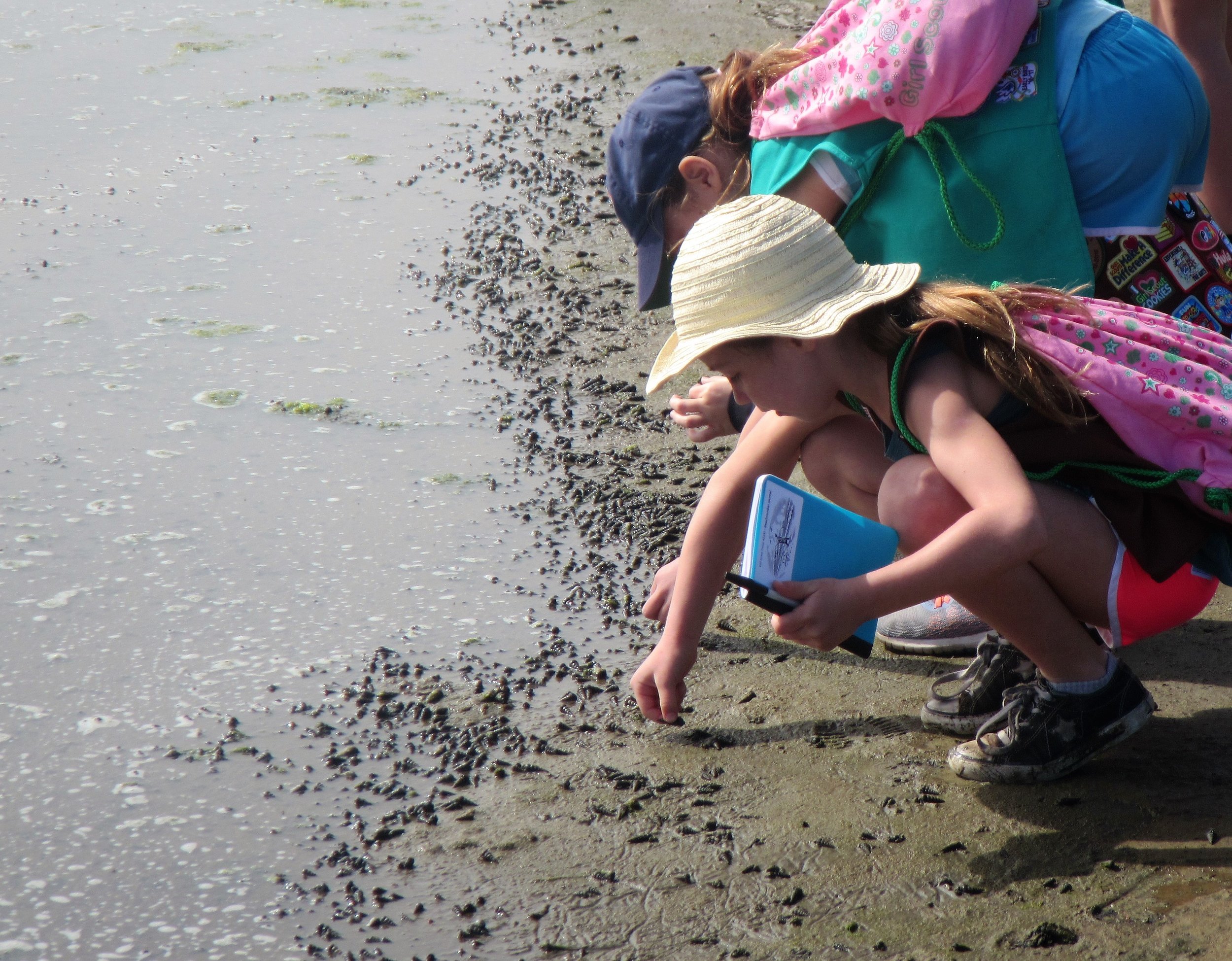
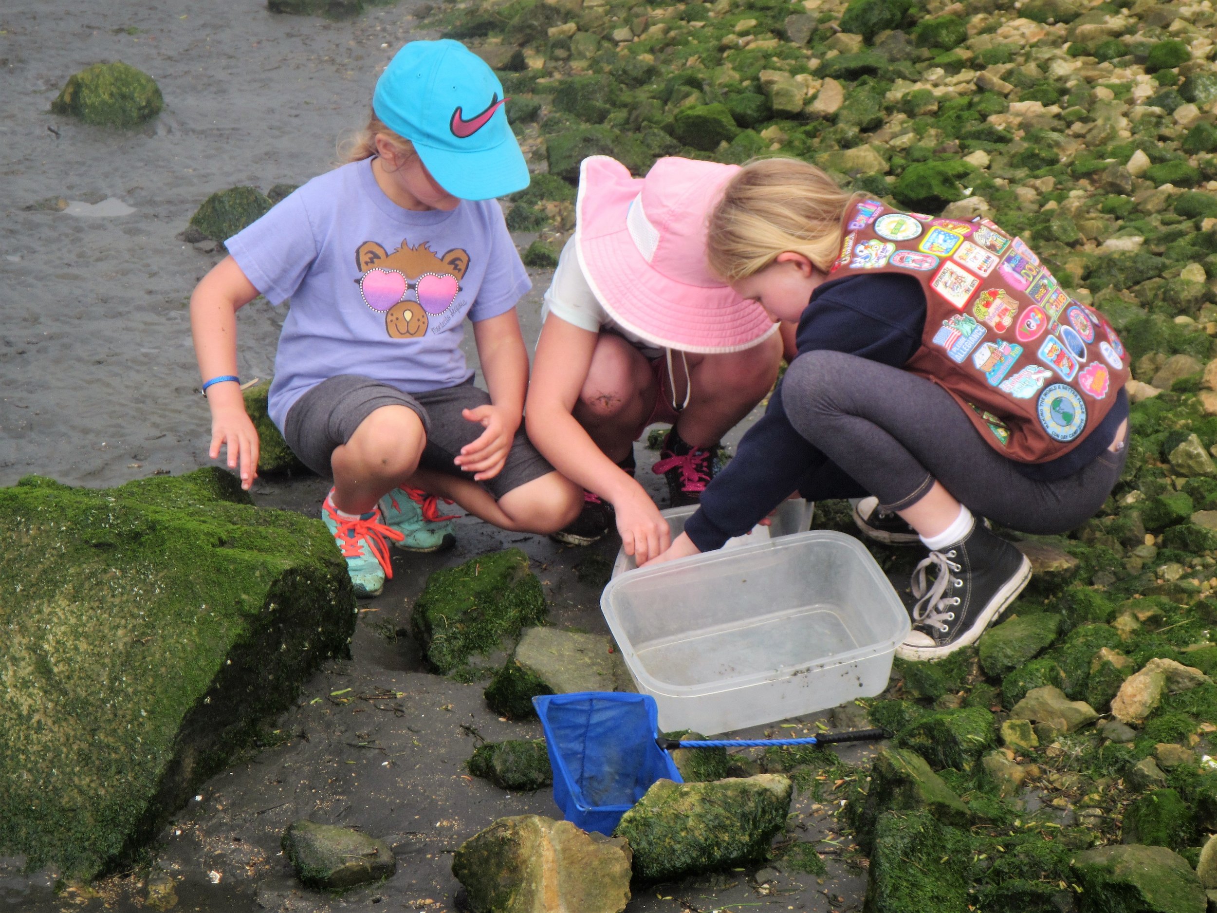
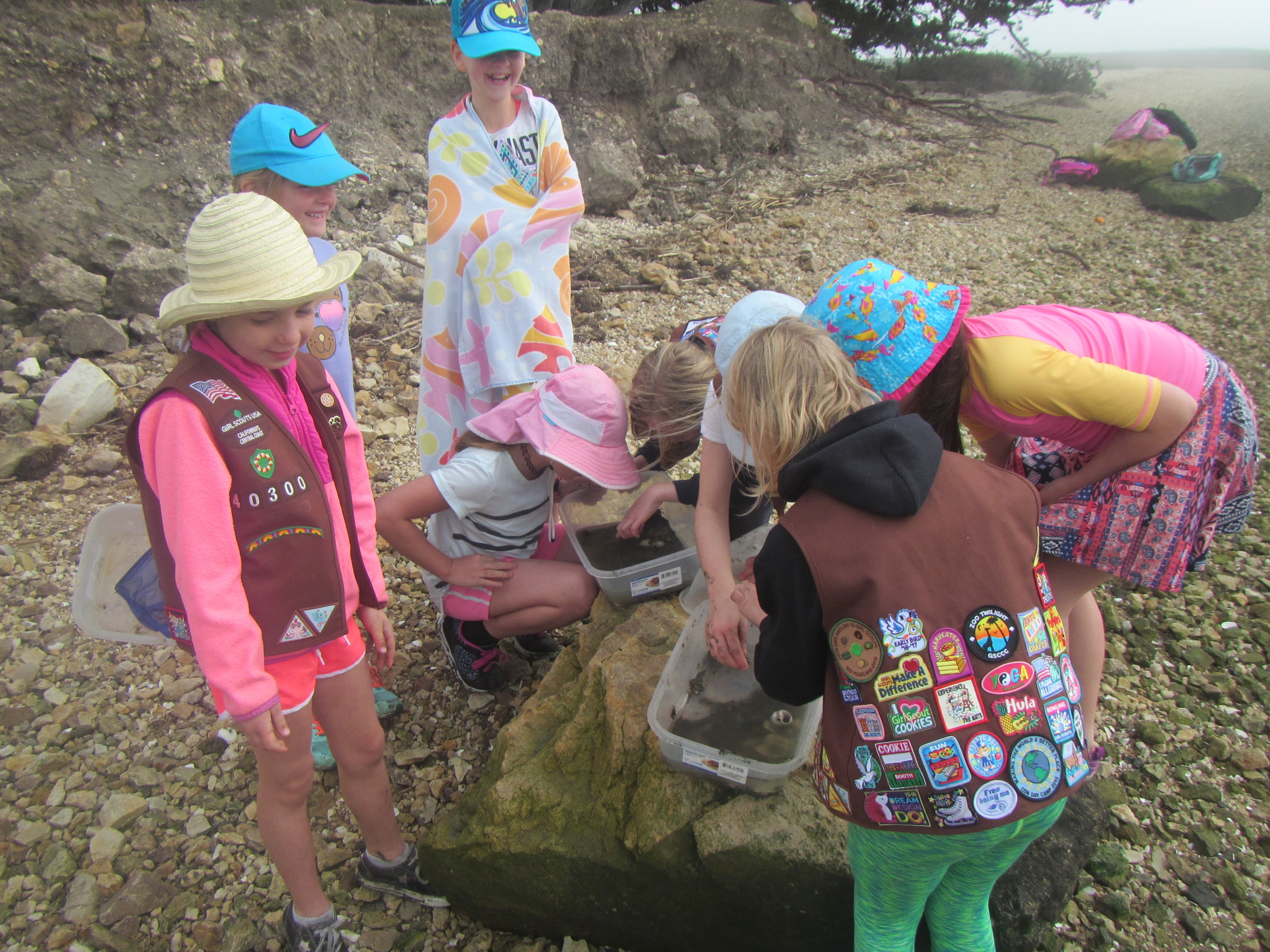
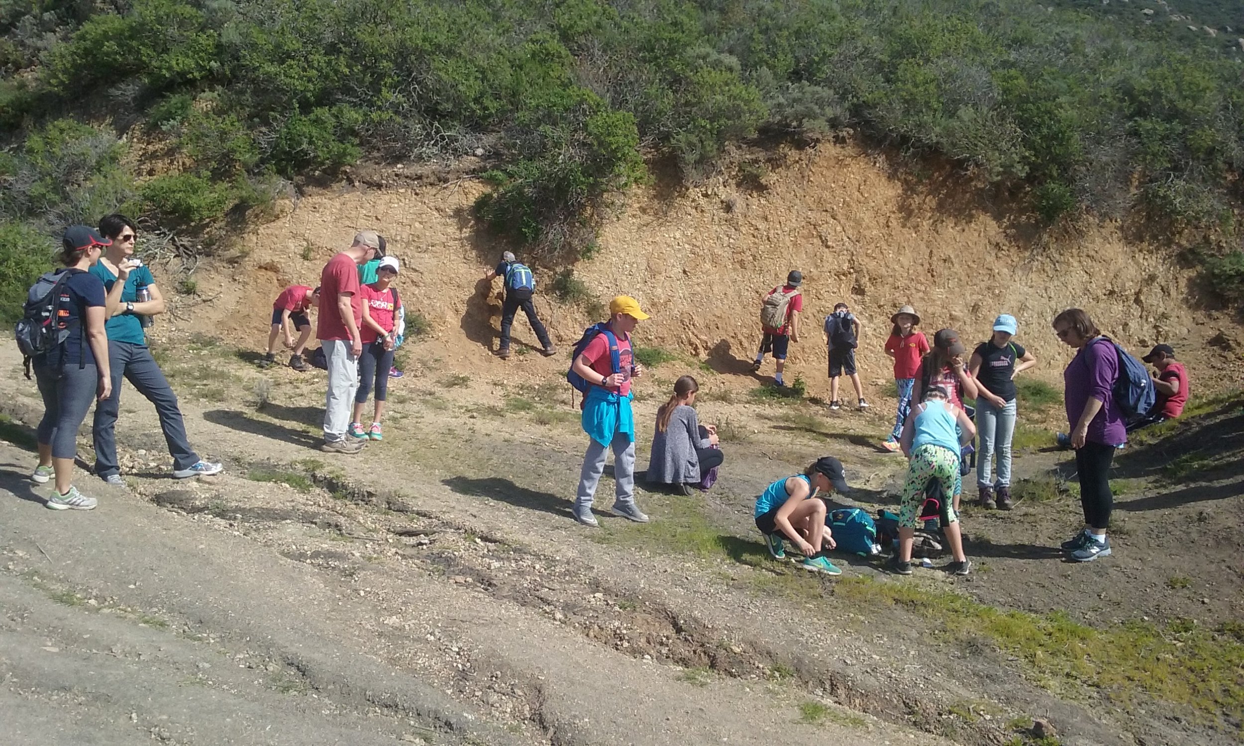
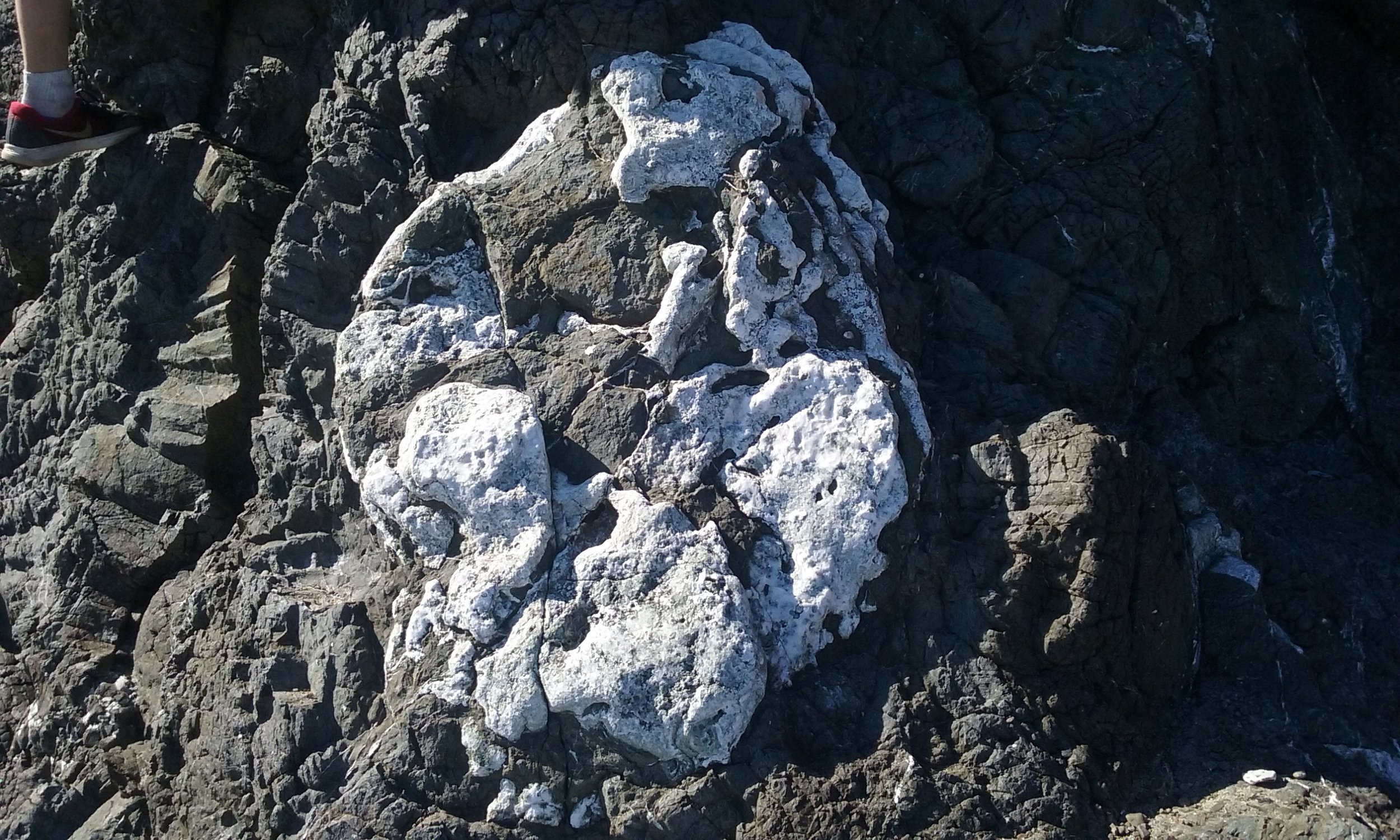
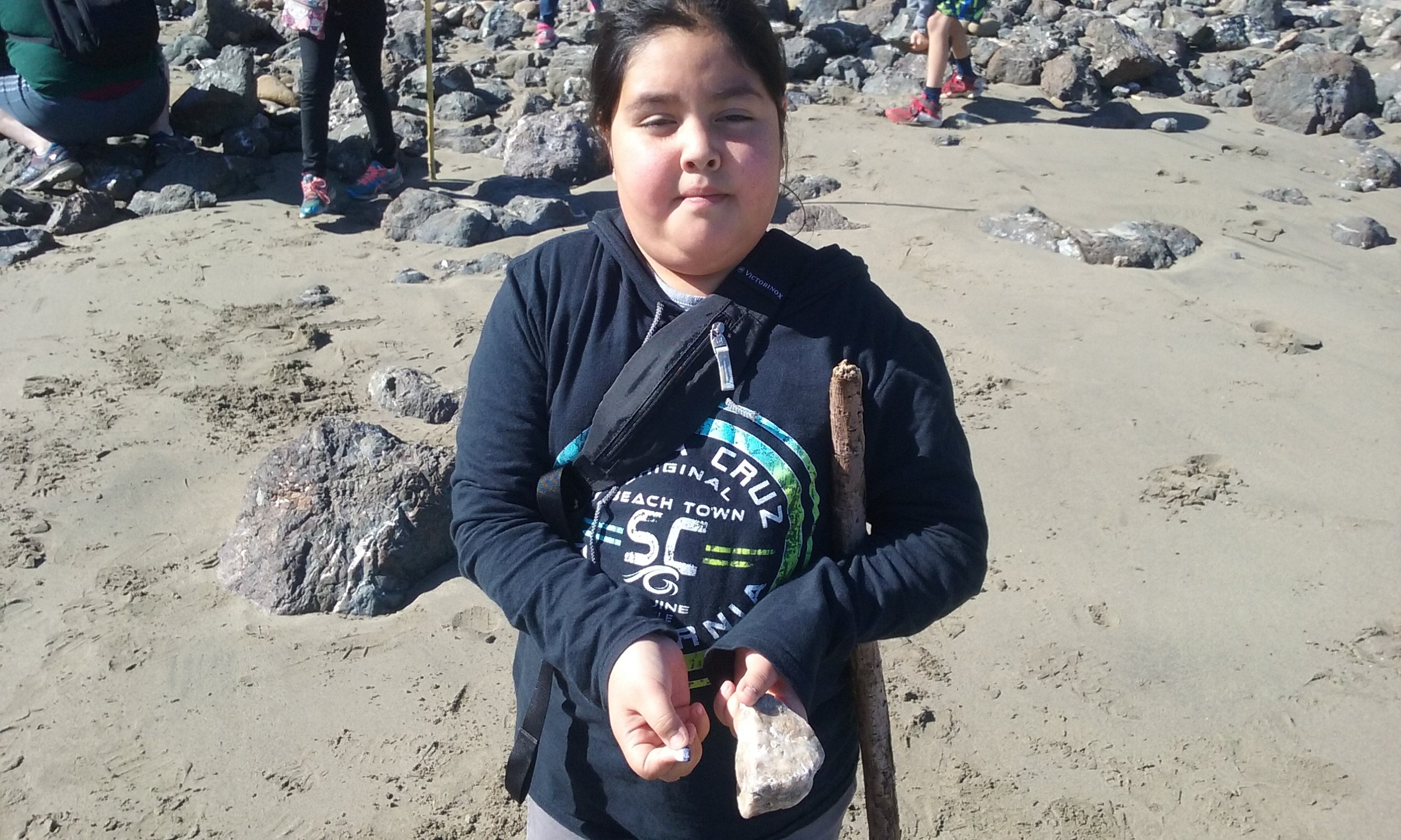
“We have done three summers of excavations at Quiroste Valley,” Cuthrell told me. “Our purpose was to investigate the resources people were using and how they were using them.” The team used noninvasive geophysical techniques—including magnetometry, ground-penetrating radar, and electrical resistivity—to look into the soil without disturbing potential ancestral remains. “We created a three-dimensional model of what is underground,” Cuthrell explained. “You can slice out a profile of an area and estimate, for example, how far a pit goes down.” The team used a technique called flotation to collect small plant and animal remains. Lighter materials in a soil sample, like burned seeds, wood charcoal, and fish scales, float up and are collected in a chiffon screen, leaving behind denser bone and stone remnants.


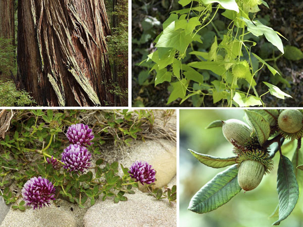
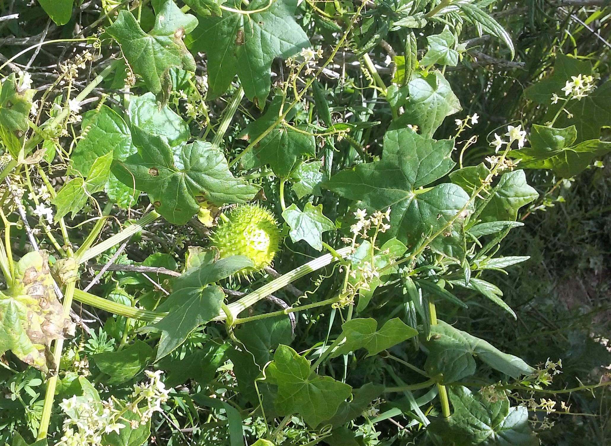
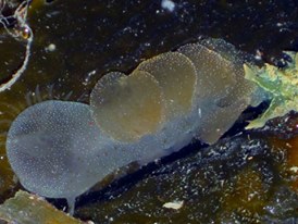
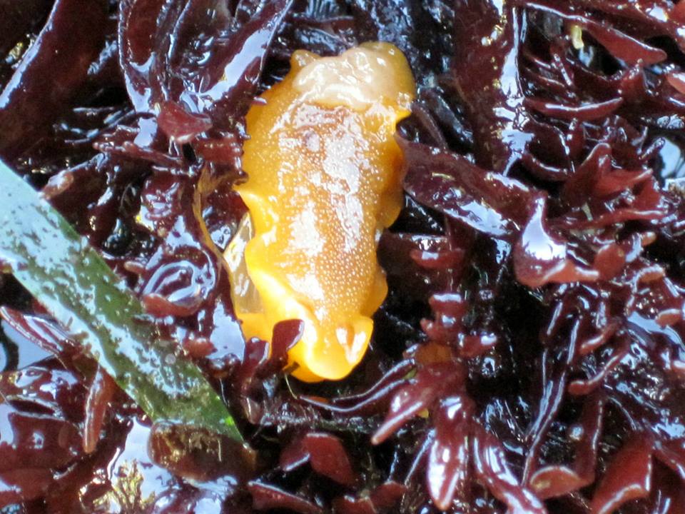
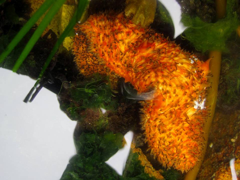
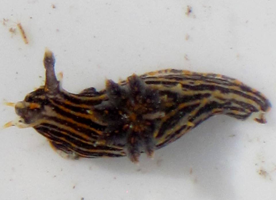
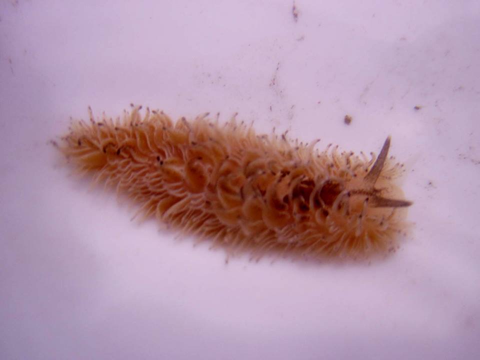
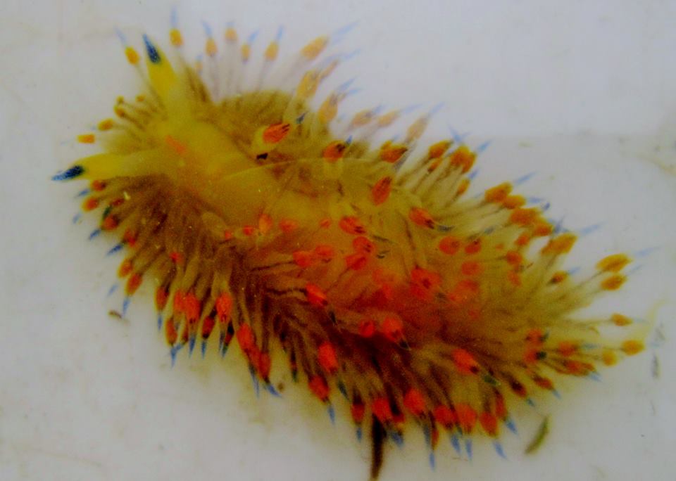
Read: Native Plants of the Quiroste Valley
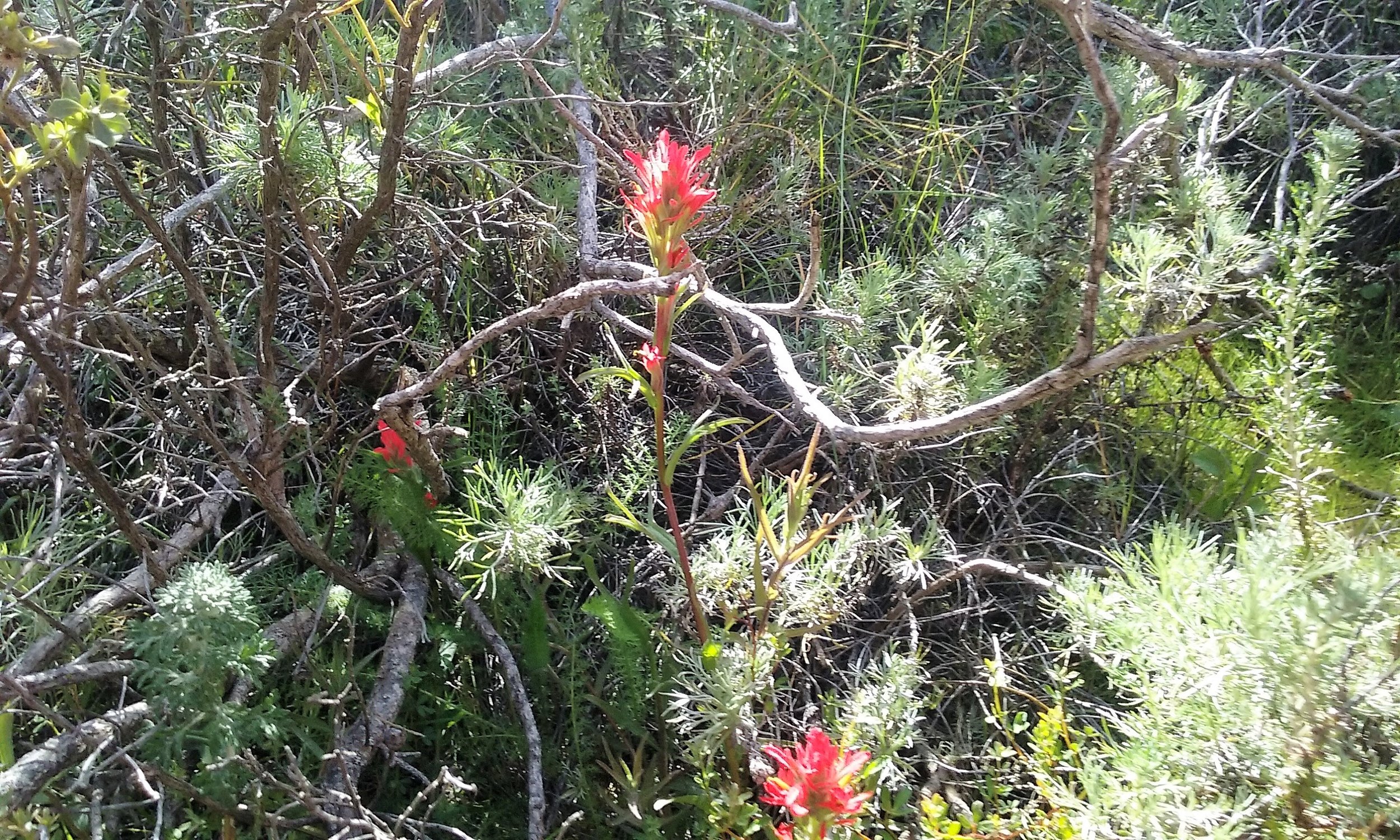
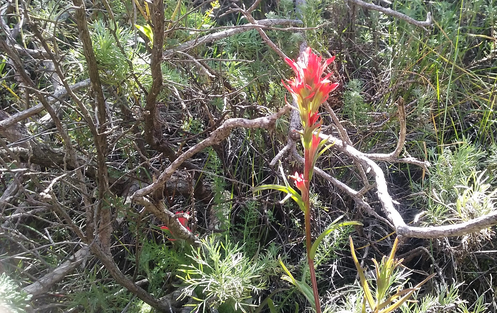
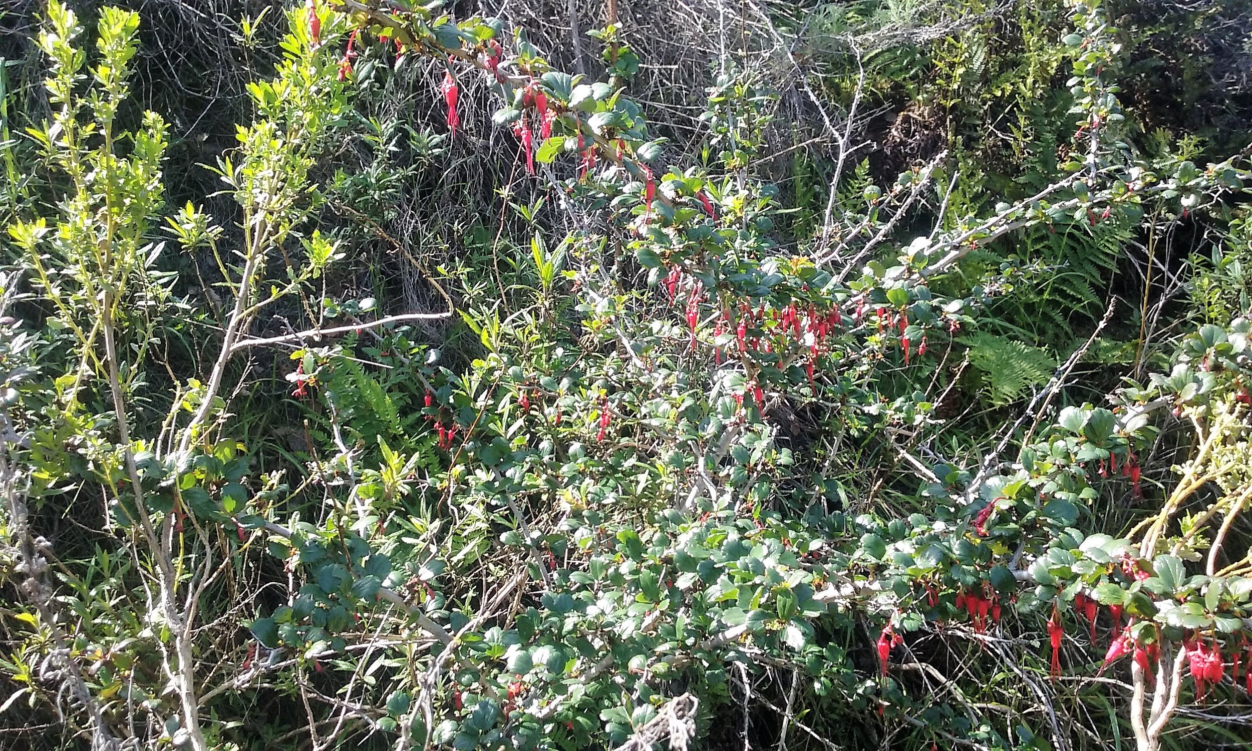
Learn more about California Indians’ uses of four native plants at Quiroste: redwood, wild cucumber, tanoak, and clover.

Significantly, the work at Quiroste has unearthed multiple strands of evidence of indigenous burning practices to manage species composition and abundance. Archaeobotanical research shows a high proportion of woody plants—particularly redwood and California lilac (Ceanothus)—compatible with low-intensity landscape fire. Lightning strike fire is relatively uncommon on the California coast so the evidence points instead to frequent human-instigated burning. High proportions of grassland-associated food-plant remains are a further indication of intentional burning to prevent encroachment by shrubs and trees, and contrast with the scrub and Douglas fir woodlands that characterize the valley today. Archaeofaunal data shows small mammal populations consistent with open grasslands that would have been sustained by fire. And wind-borne charcoal particles found in wetland sediments provide direct evidence of landscape fires.

Fire wasn’t just used to encourage grasslands. Cuthrell hypothesizes that Native Californians also burned in conifer forests to promote growth of desirable understory species, such as hazelnut, which is rare at the site today. Left to its own devices, hazelnut may fruit only sporadically and sparsely, and “we suspect that some form of management would have been needed to make it abundant and productive enough to show up in the archaeological assemblage as much as it does in our sampling.” Taken together, the data points to a conservative conclusion that burning was practiced on this landscape for at least 1,000 years prior to Spanish colonization. And that fire regime had a significant impact on “the structure, diversity, and vitality of local terrestrial communities,” according to Lightfoot (California Archaeology, December 2013).


THEY WERE NOT FARMERS
The Quiroste findings are of historical significance. As Kent Lightfoot and Otis Parrish put it in California Indians and Their Environment (2009): “They are not farmers.” California Indians don’t fit into the typical paradigm whereby prehistorical hunter-gatherers evolve to become agrarian producers. California Indians evolved a complex food economy without cultivating domestic crops. For example, Indian pyro-techniques did not sever the ties between the species they cultivated and the landscapes those species grew in. The people availed themselves of the adaptive capacities of wild plants and animals. Using a complex system of low-intensity staggered burns, they provoked new growth of plants for food, medicine, and material goods, including baskets, tule boats, and houses. They maintained different patches of land at different stages of succession. Newly burned fields attracted specialist bird species; freshly sprouted fields drew deer and other prey animals within striking distance. Shrubby growth appearing a year or so after a burn was home to small mammals that were hunted and trapped. Mature forests were kept healthy with low-intensity burning of duff and other natural debris. California Indians, in effect, molded the native species and landscapes to sustainably provide for all living things, including food and fiber for people.


Chuck Striplen gave me a specific example of how California Indians’ traditional management of resources worked on willows. “Willows were harvested for all kinds of reasons,” he said. “Some were managed to cultivate very thick stems for housing. Thick, strong sticks with wide distances between the nodes would be cultivated for basketry.” Managing willows for different purposes led to creation of diverse habitat for species. “The act of clipping exposes inner plant tissue to a whole host of insects that are then fed on by birds. This goes on for hundreds and thousands of years, until you’ve created a habitat that is more a reflection of culture than it is of the plant itself. Because if those plants were just allowed to live and die on their own, they would go through big boom and bust cycles and not necessarily support a stable cascade of wildlife and plant species associated with them.”

This is the context behind the Amah Mutsun elders’ injunction to care for the landscape. Particularly in the face of climate change, it is more important than ever to understand how to restore the landscape to support native species. As Striplen told me, “We have this gaping chasm in our understanding of form and function in historical ecosystems. It makes sense to look back in time, to understand how ecosystems worked, in order to better understand how they are going to change. And to also understand how we might adapt and mitigate around those changes.”


BACK TO THE LAND
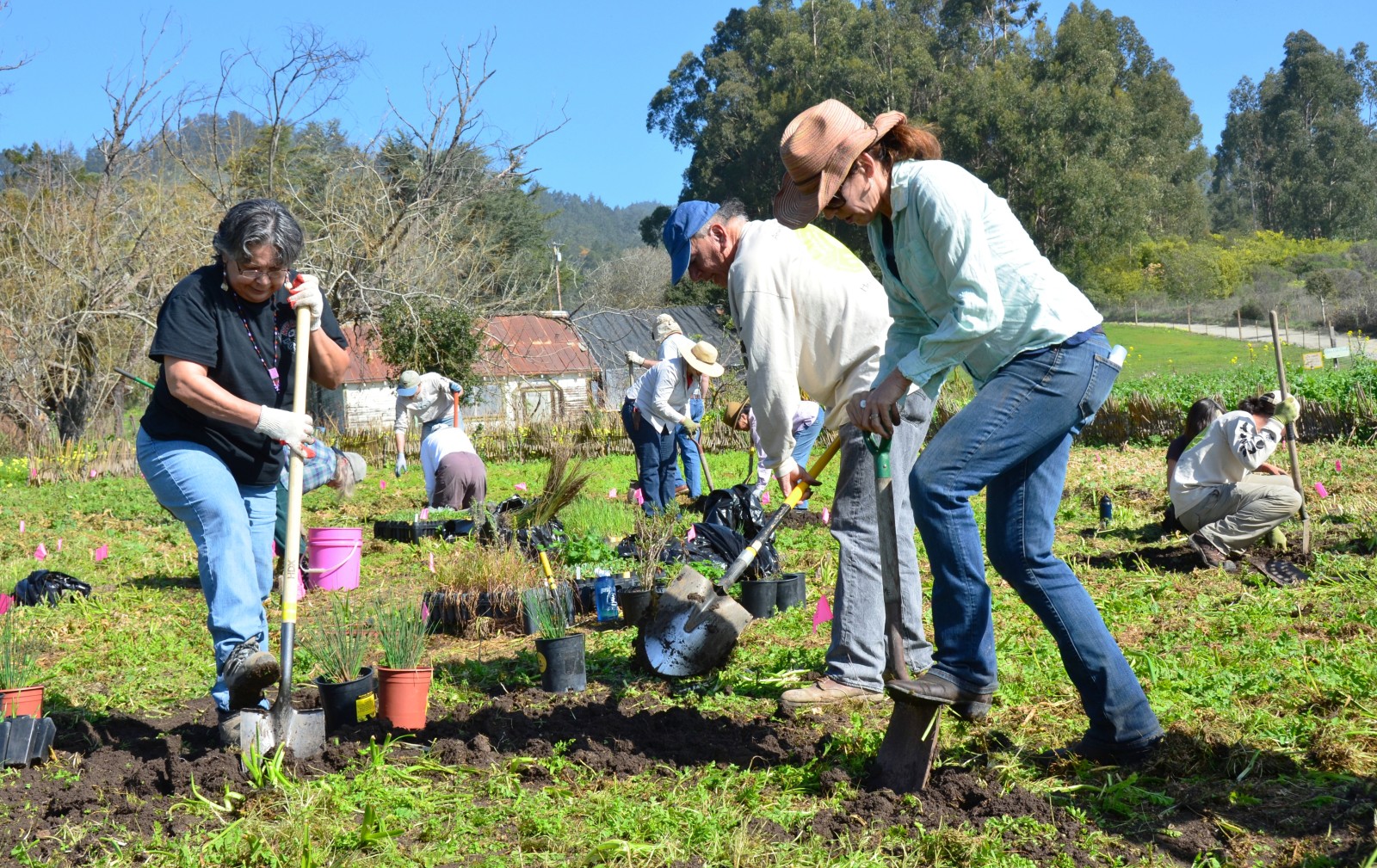
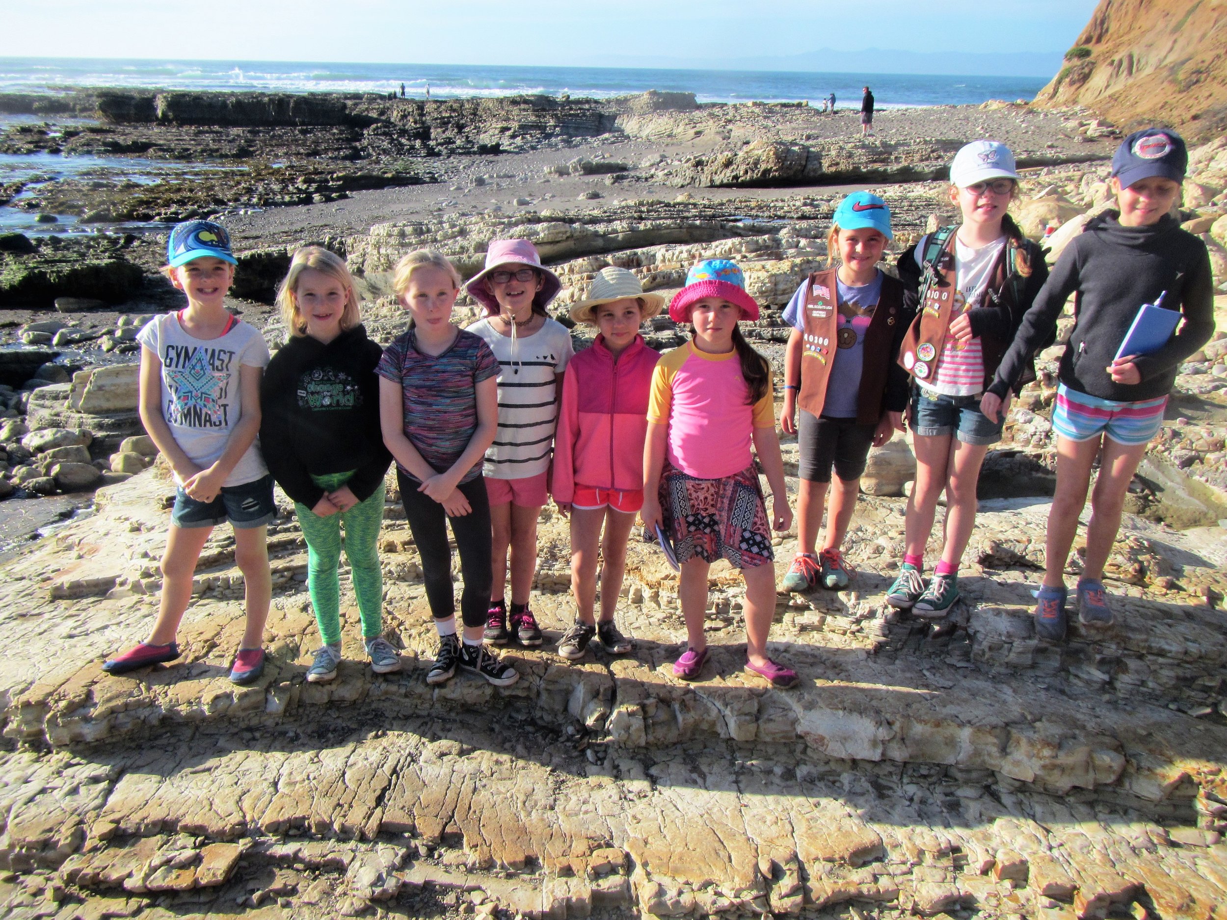
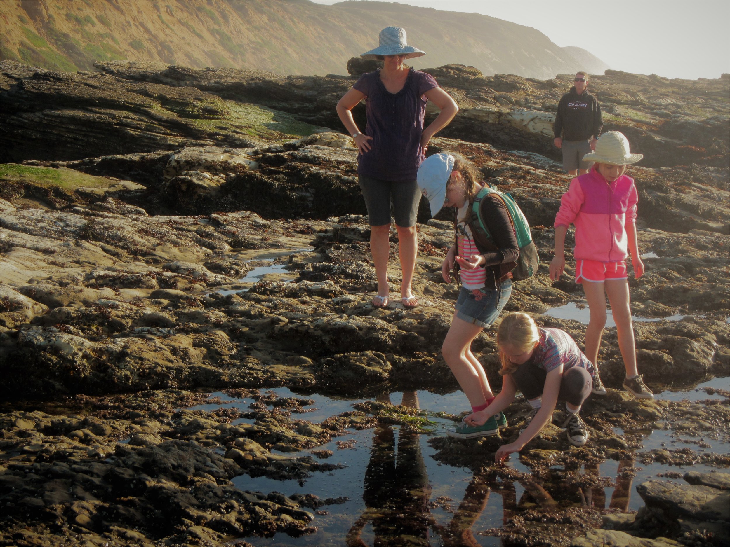
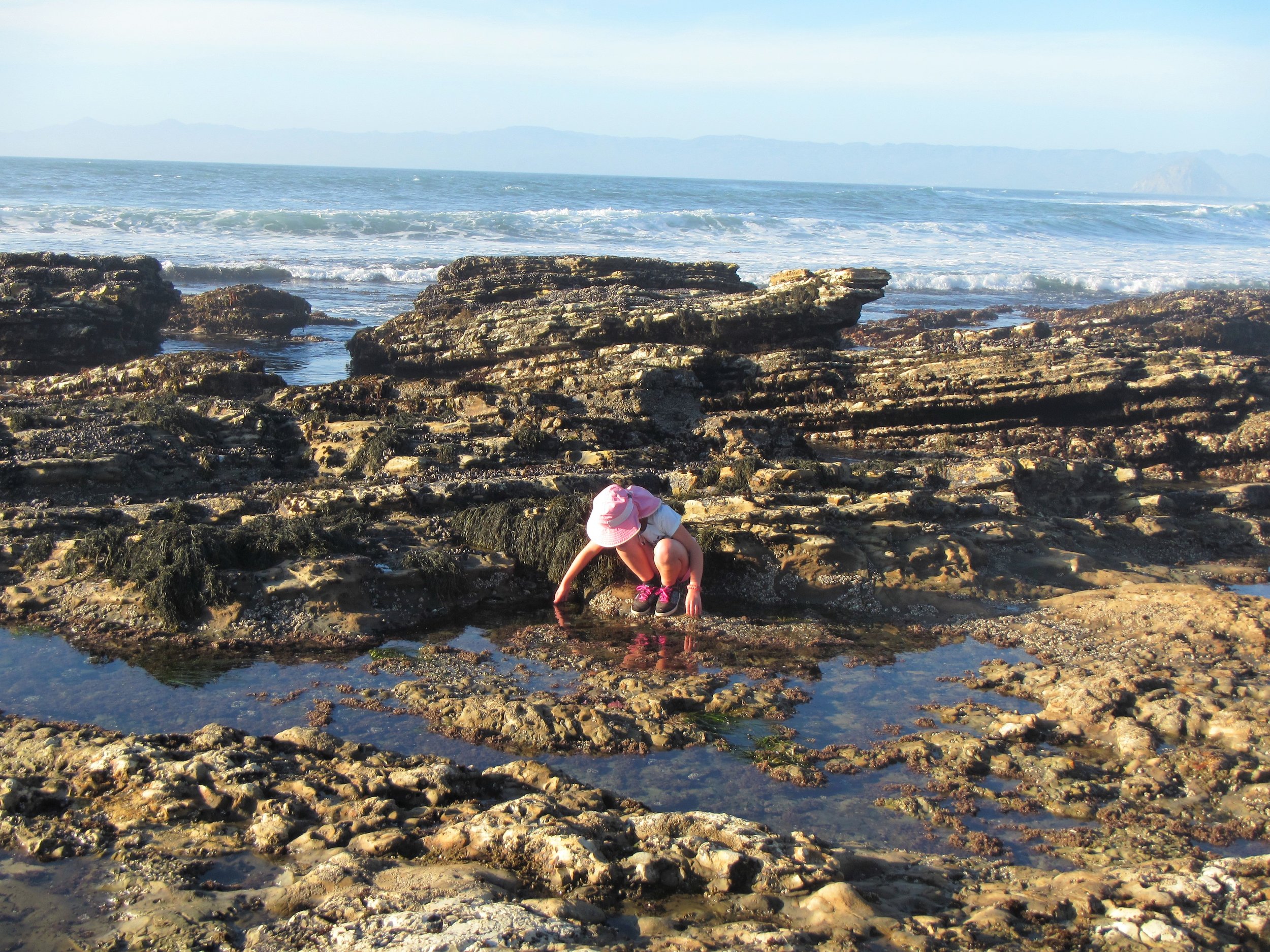
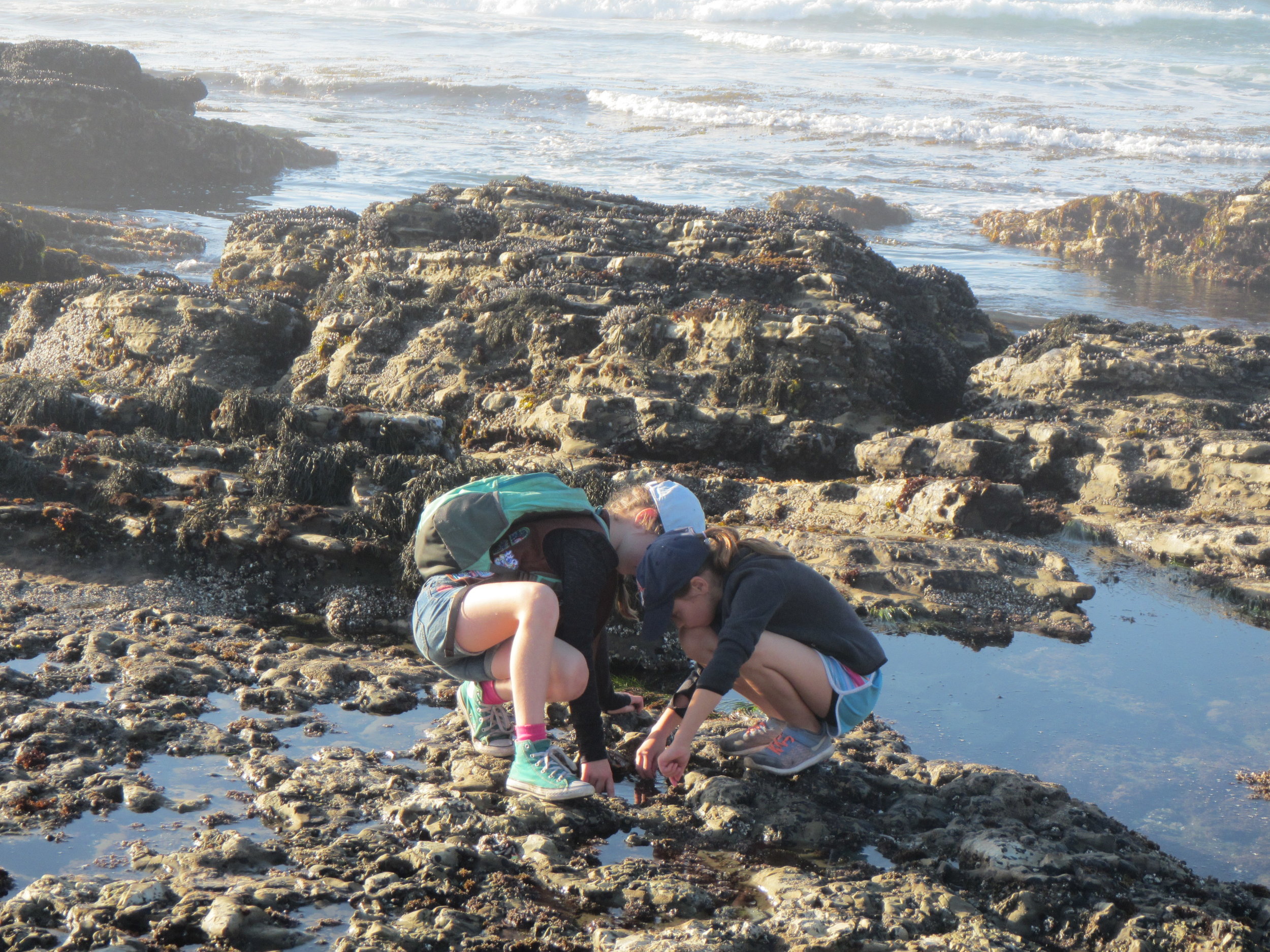
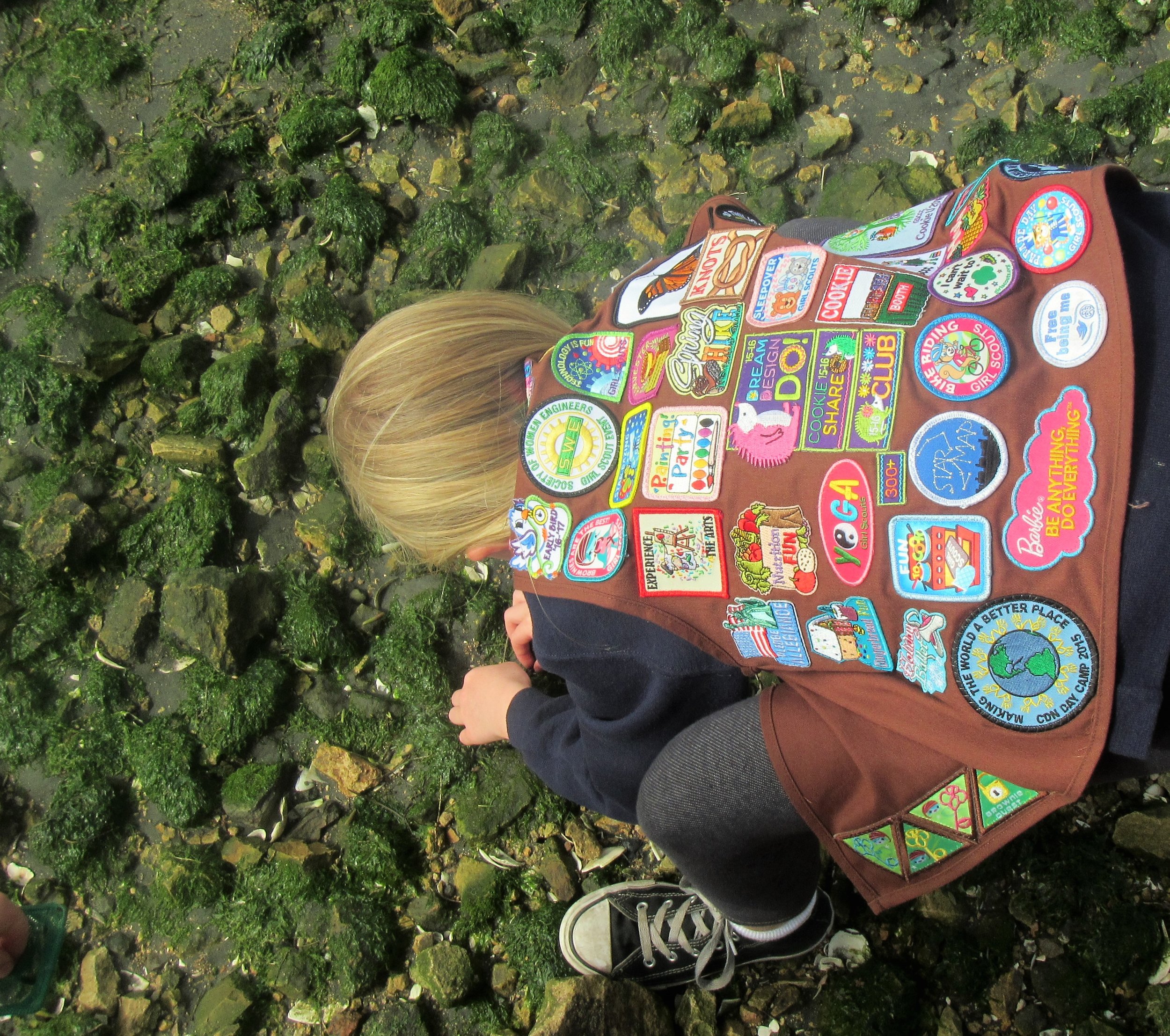
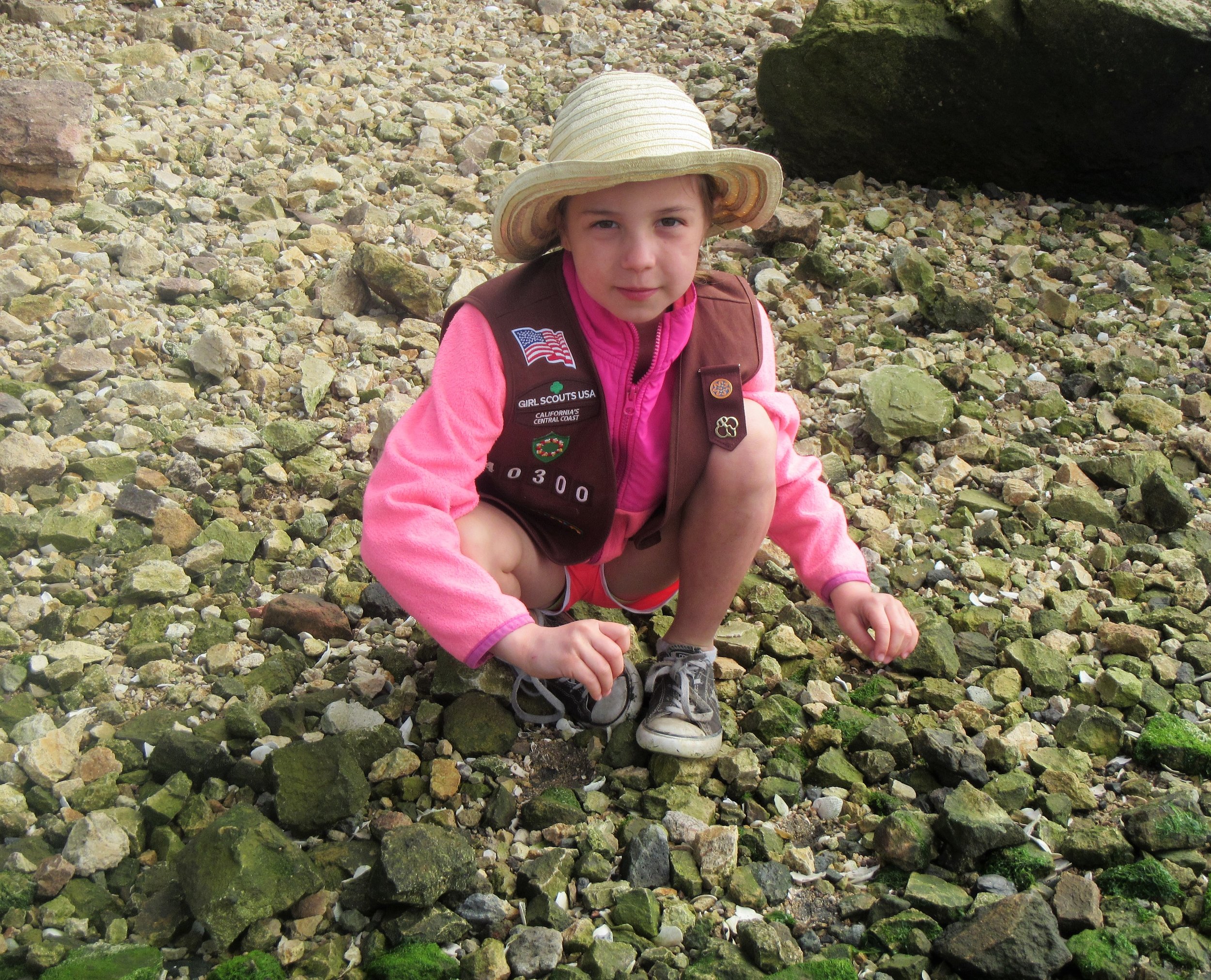
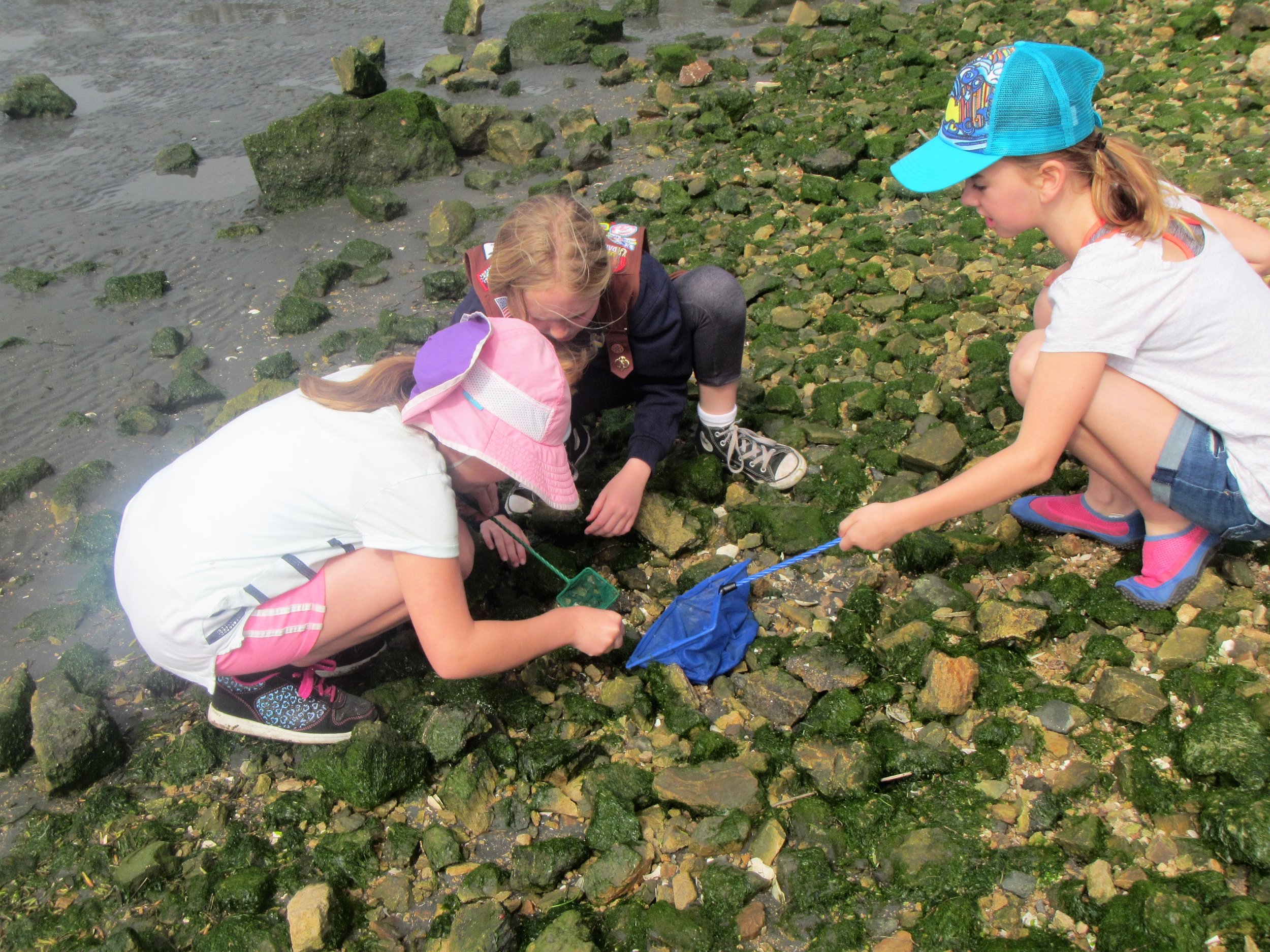
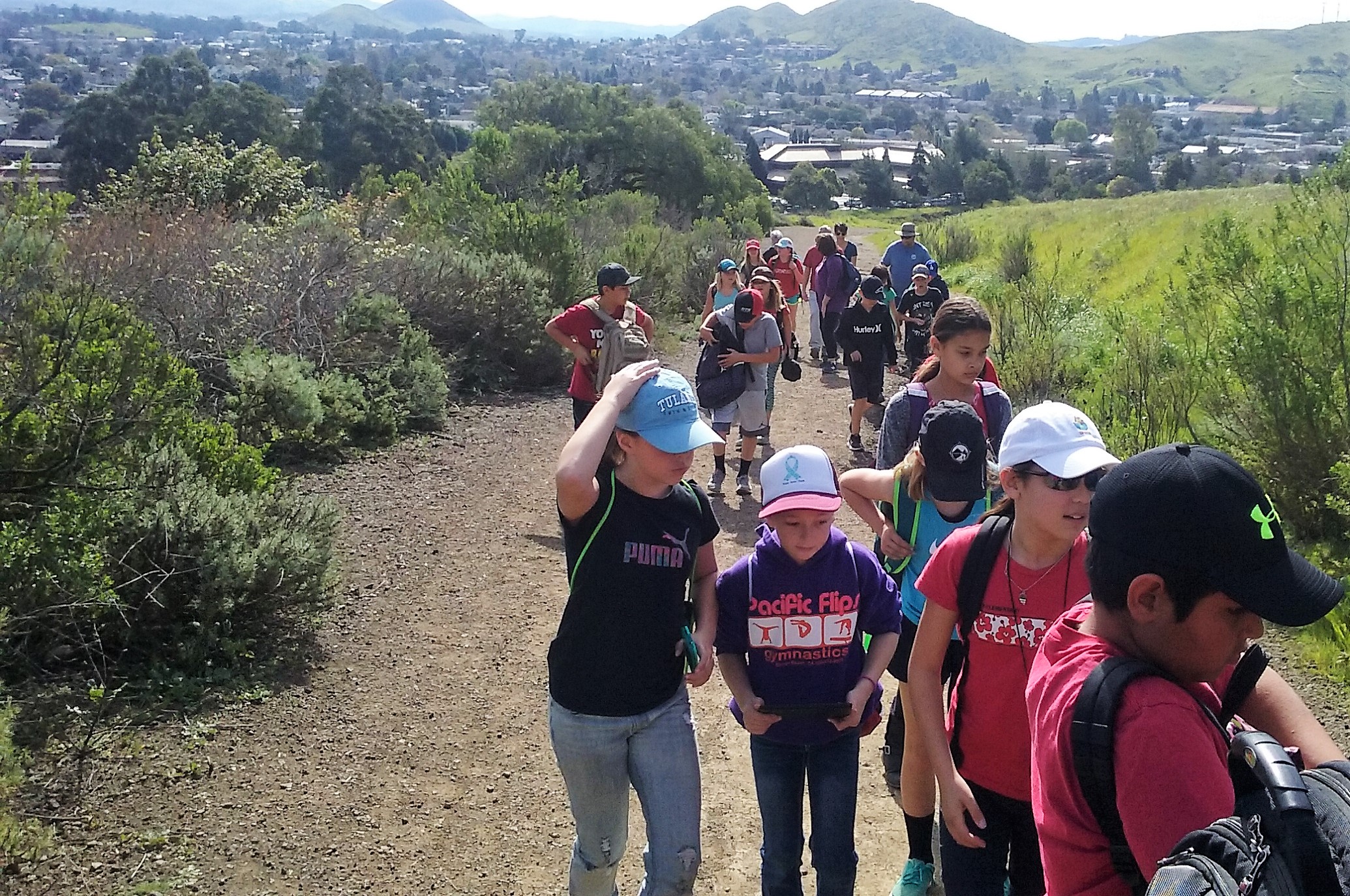
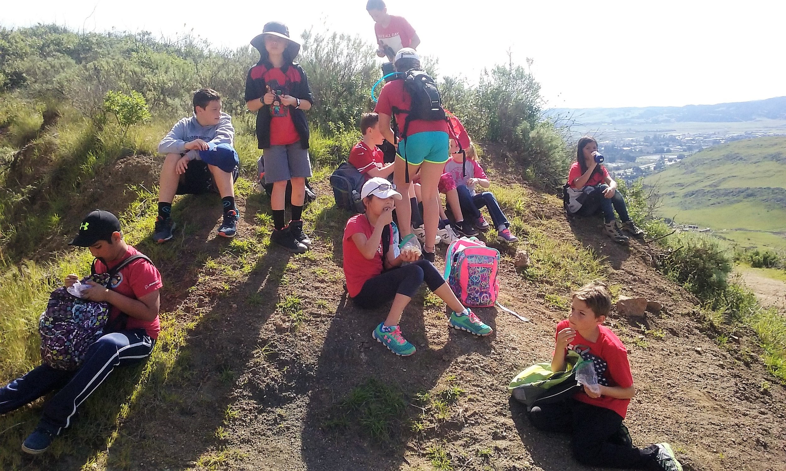
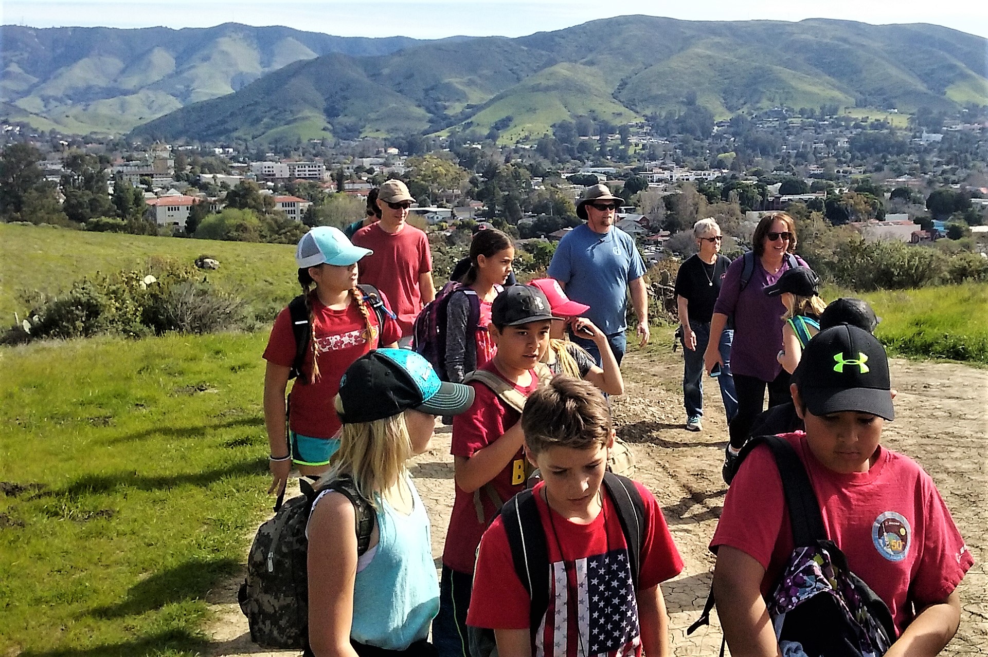
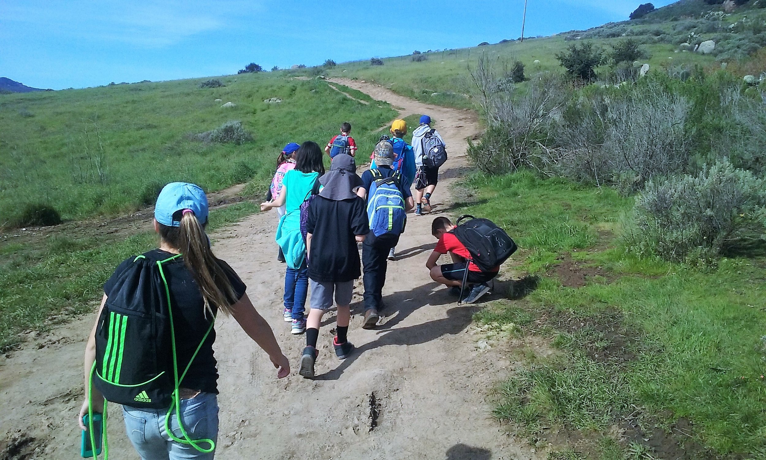
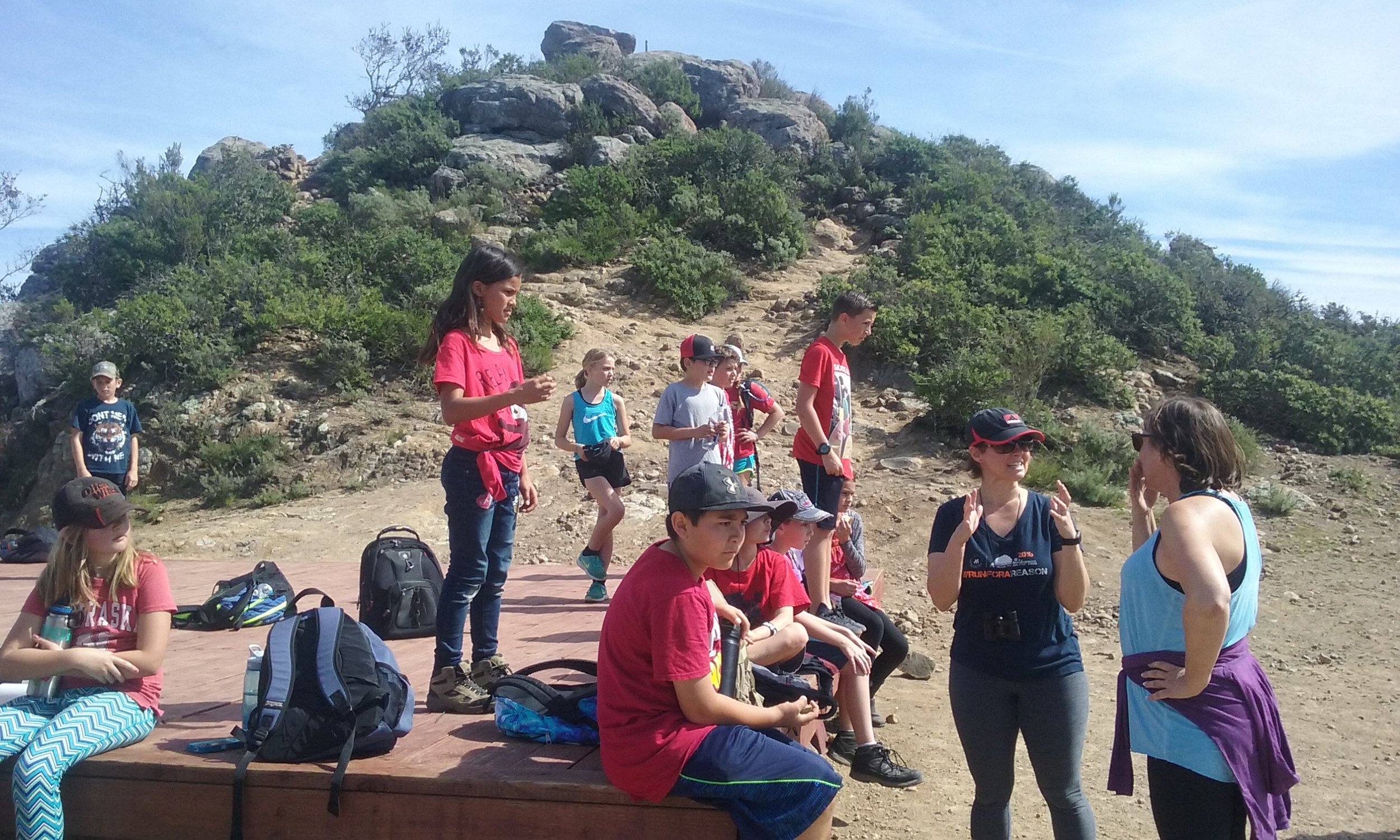
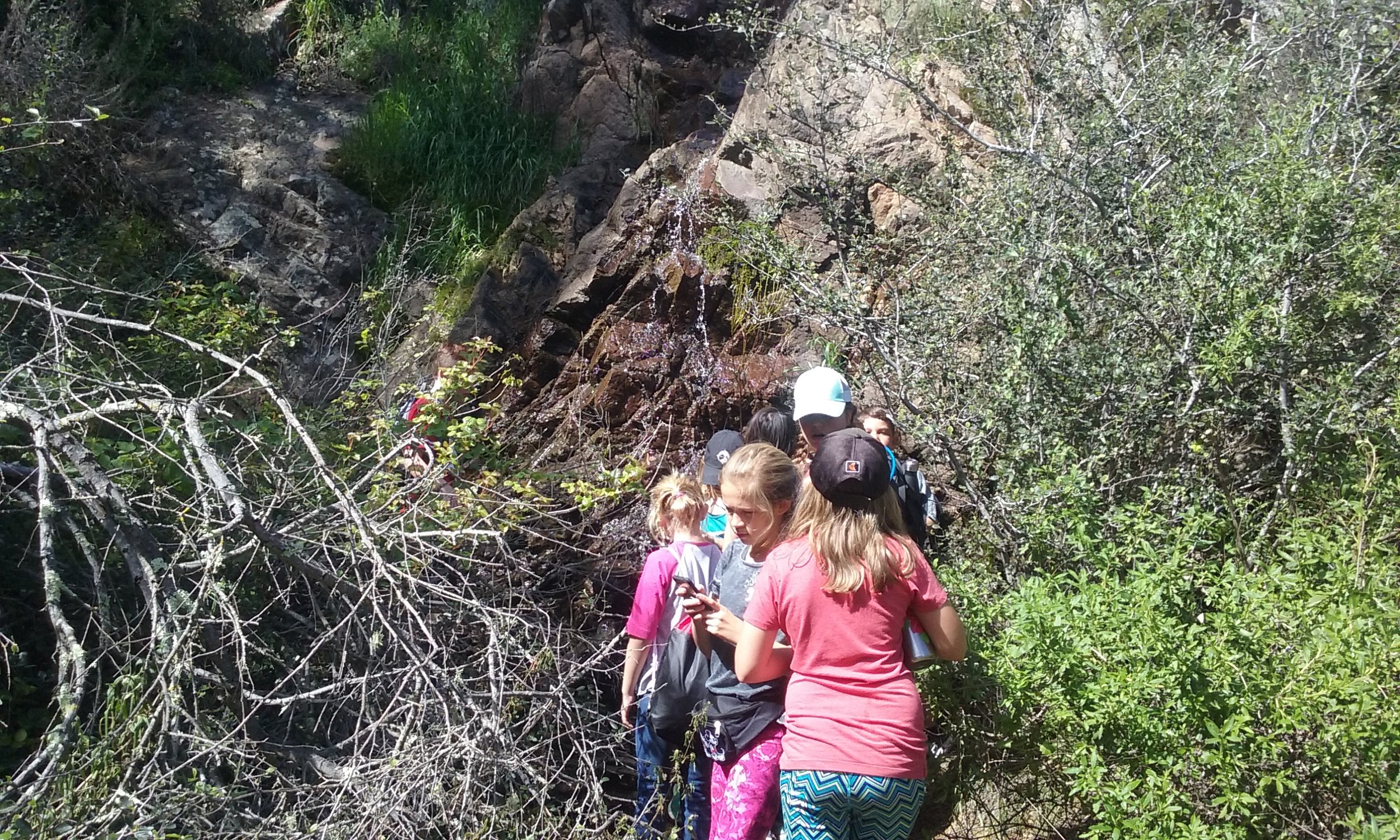
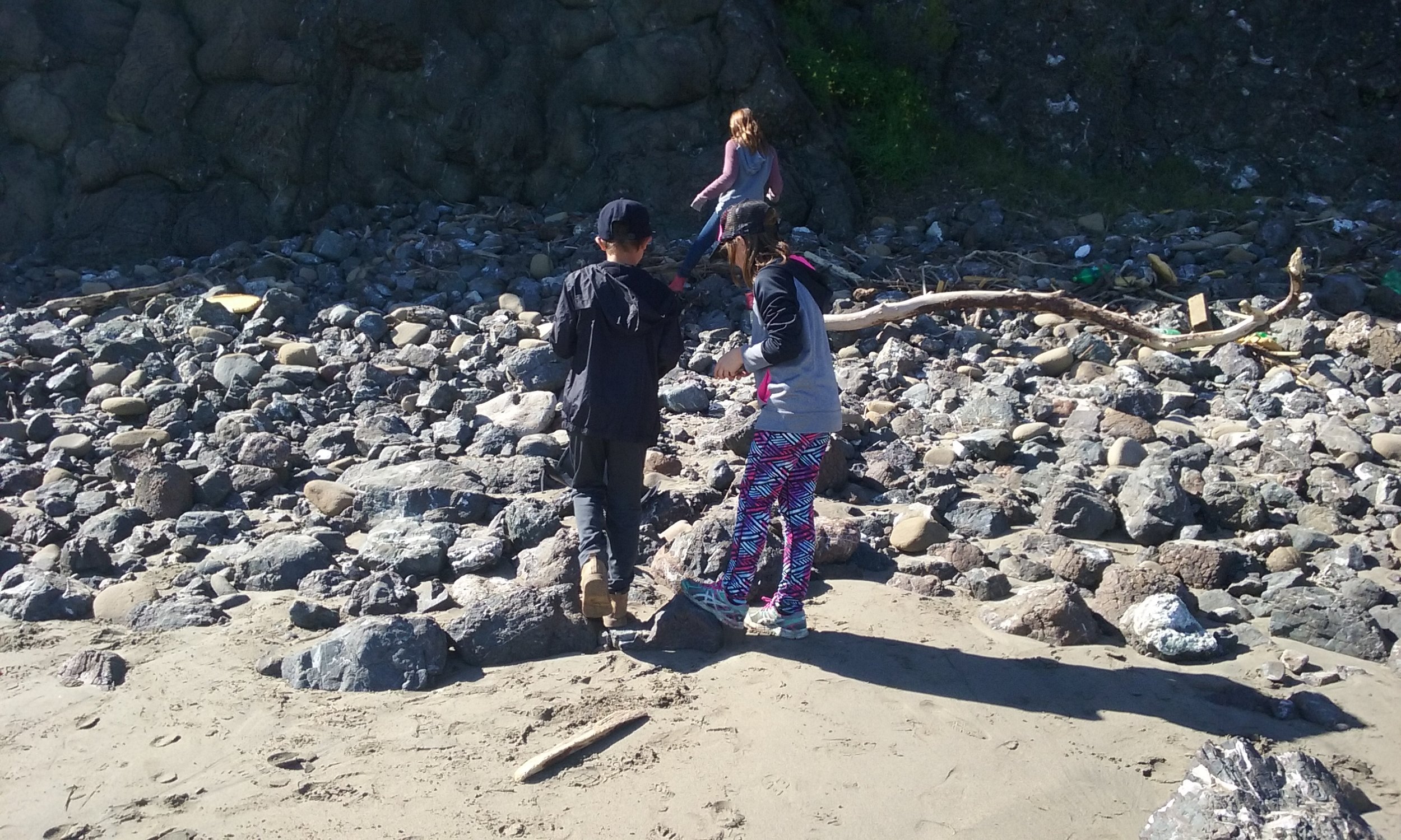
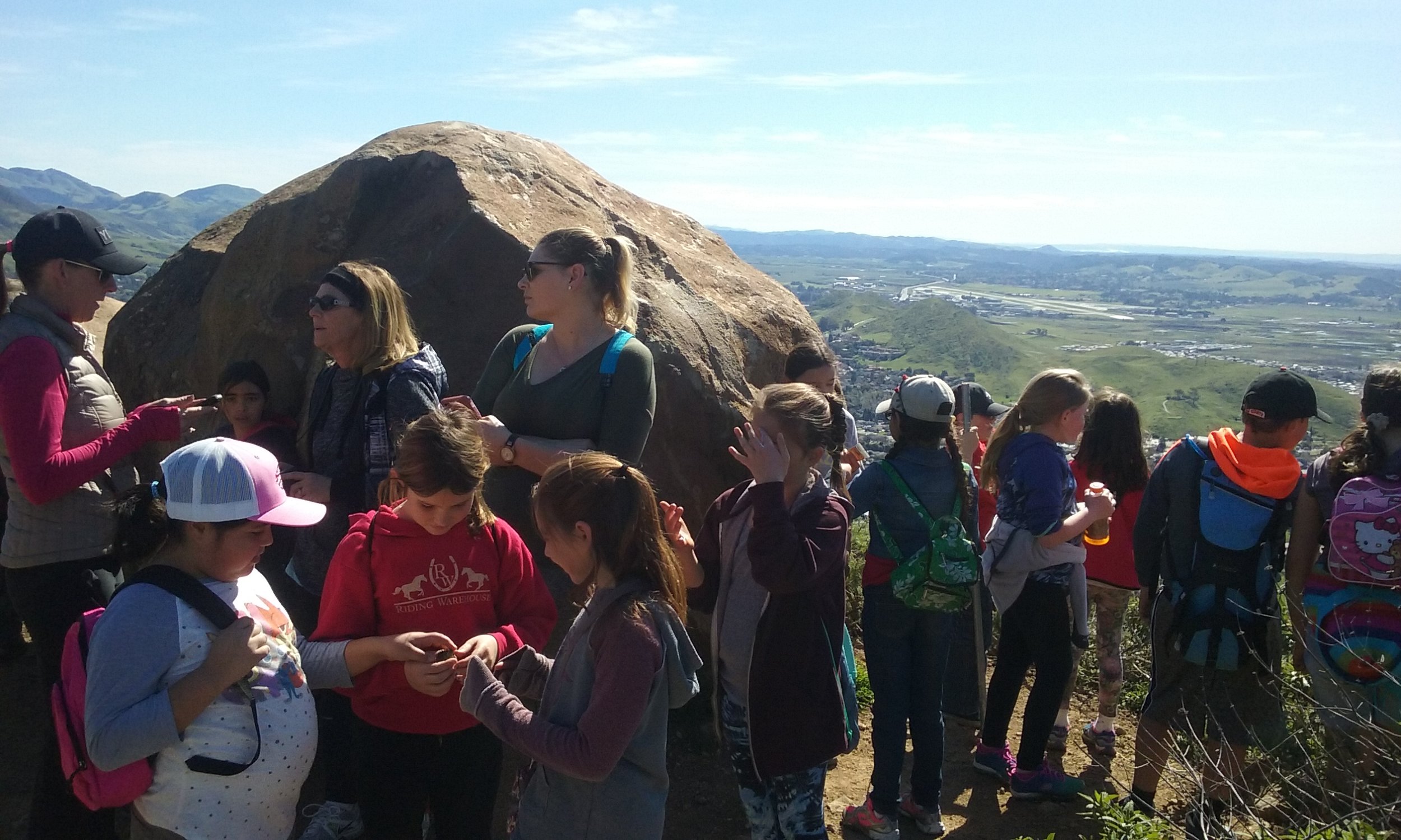
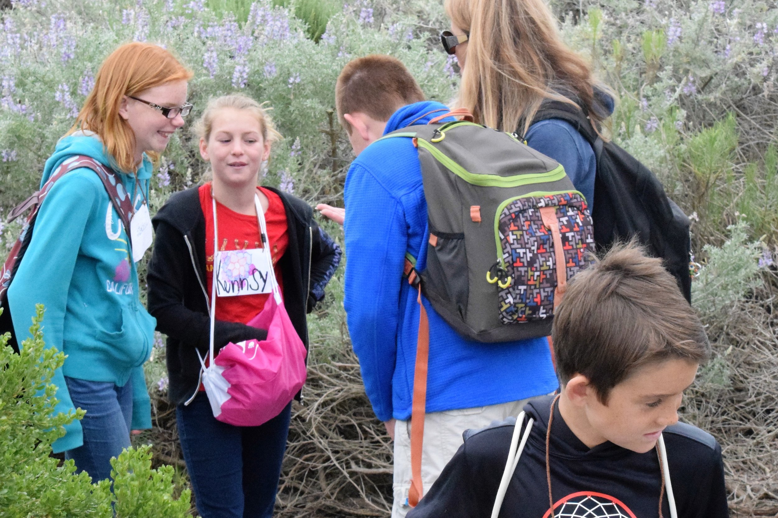
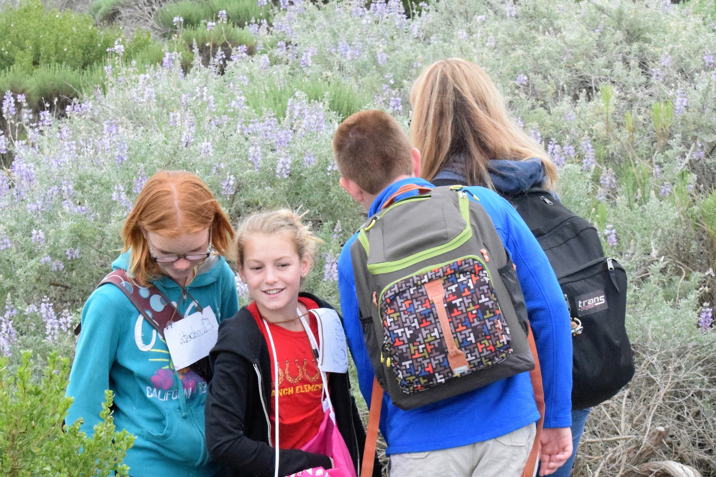
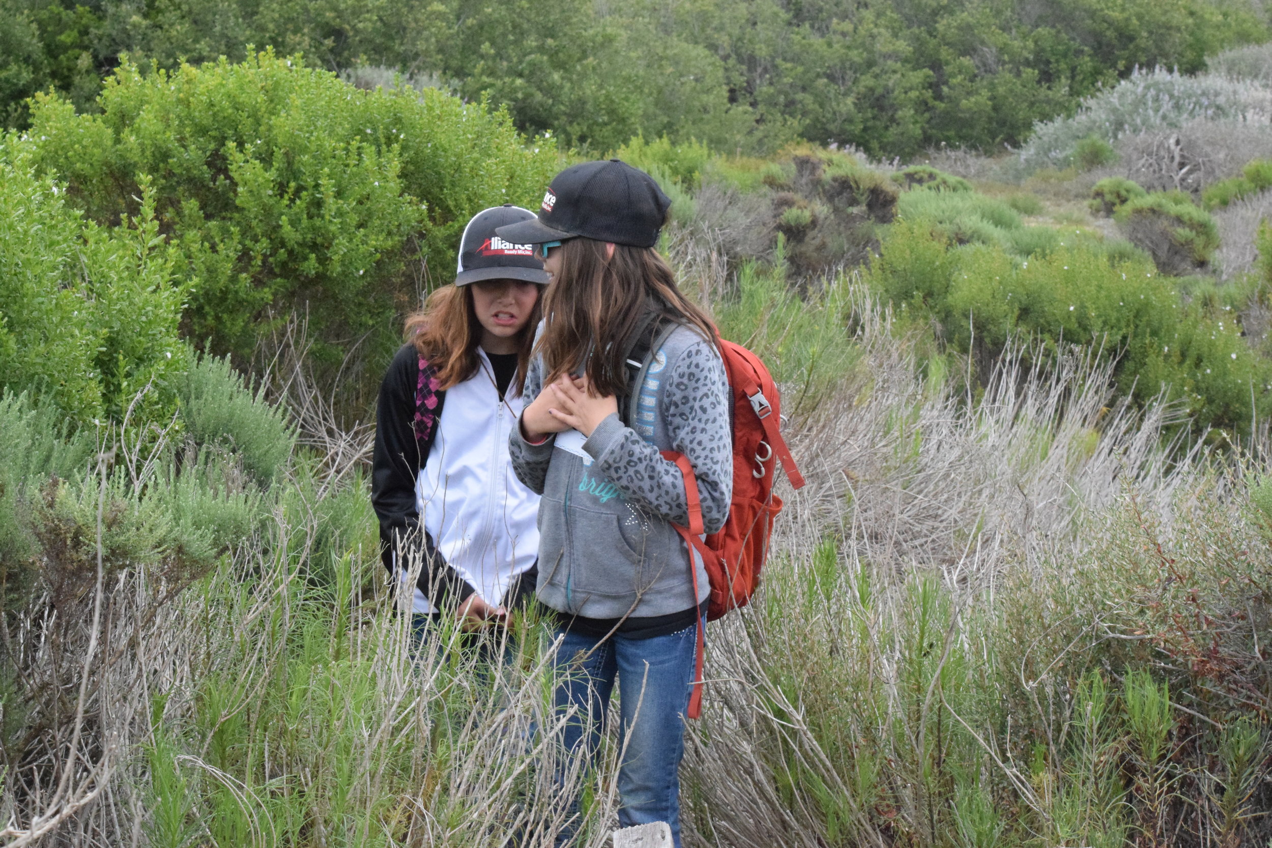
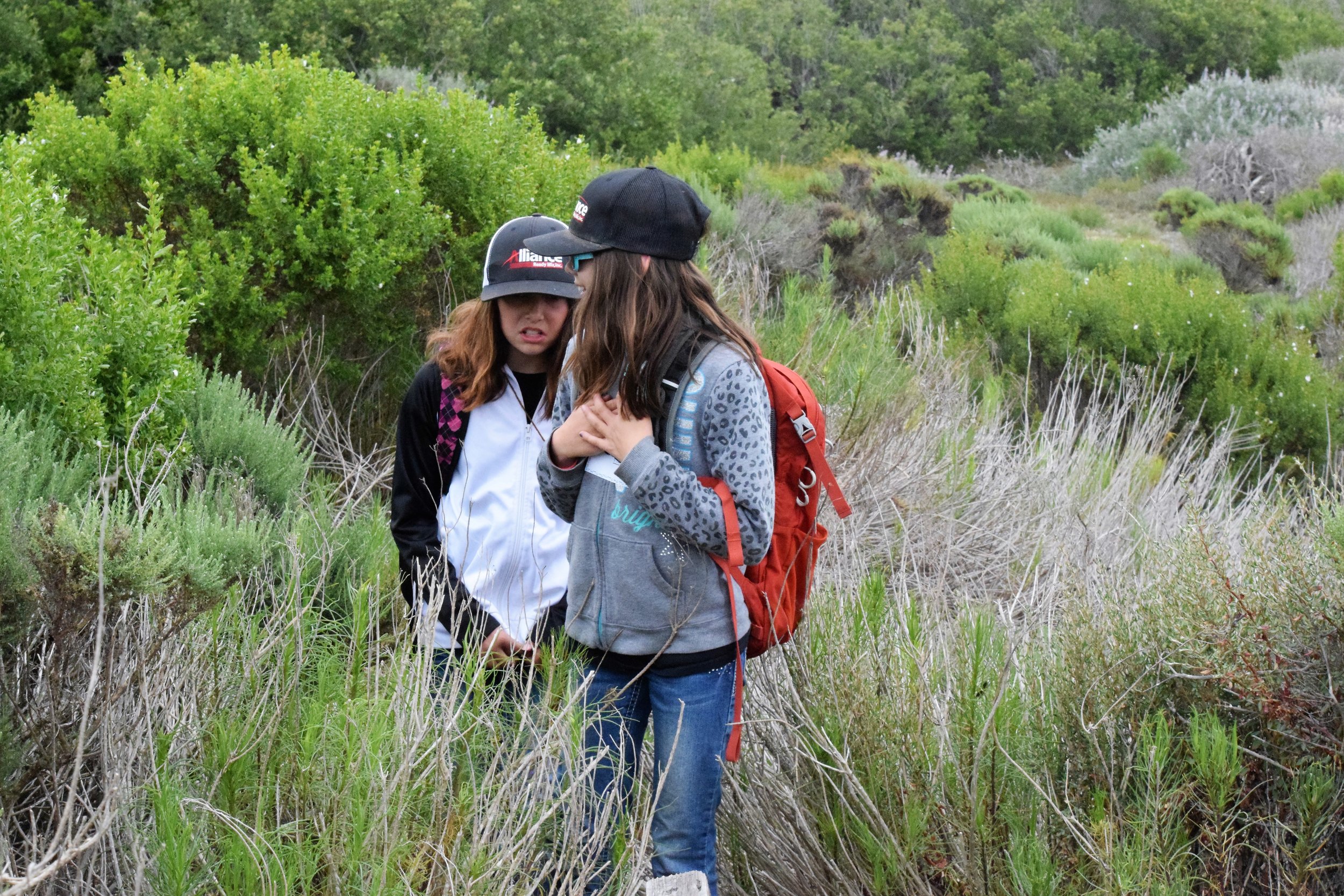
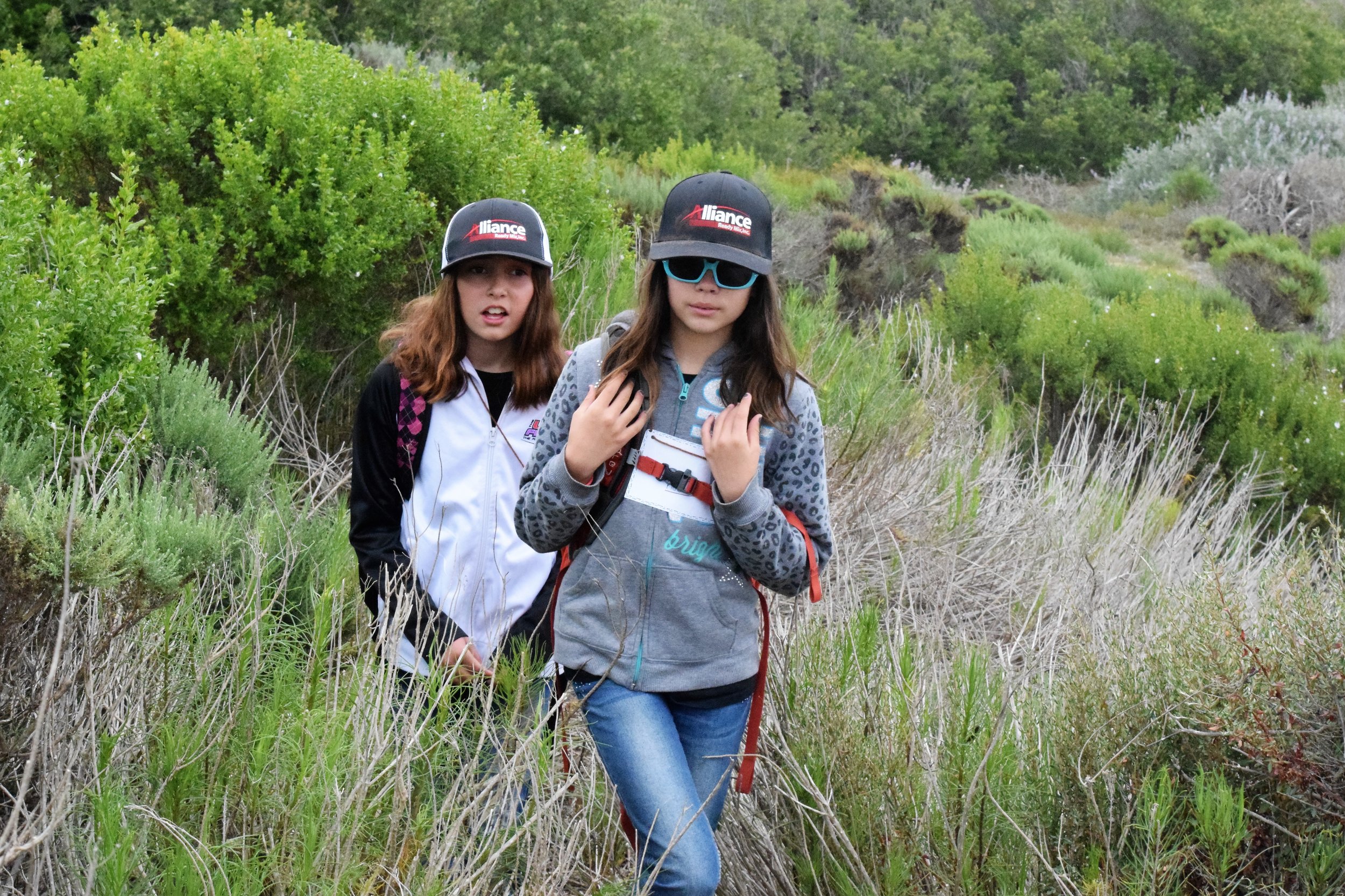
Could fire once again be introduced to this landscape and used to restore both its native diversity and its ability to sustain human existence? The answer isn’t simple. It turns out that a fair amount of work must be done before controlled burning can take place. Members of the Amah Mutsun Stewardship Corps were in the midst of their second summer of this work at Quiroste Valley Cultural Preserve when I visited the site in July to see the transformation of the landscape first-hand.

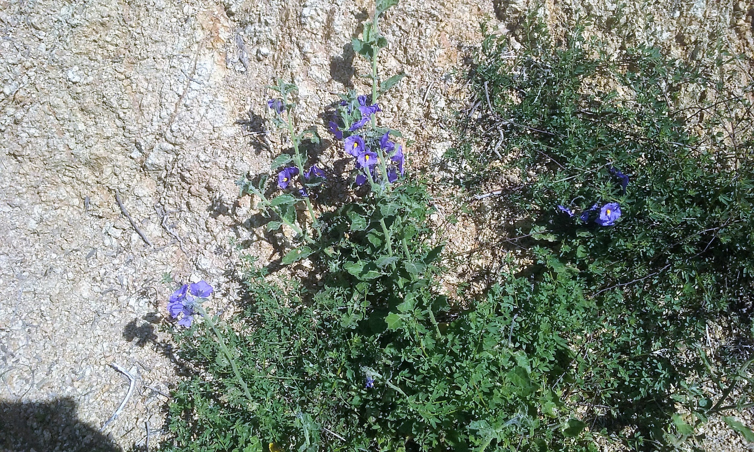
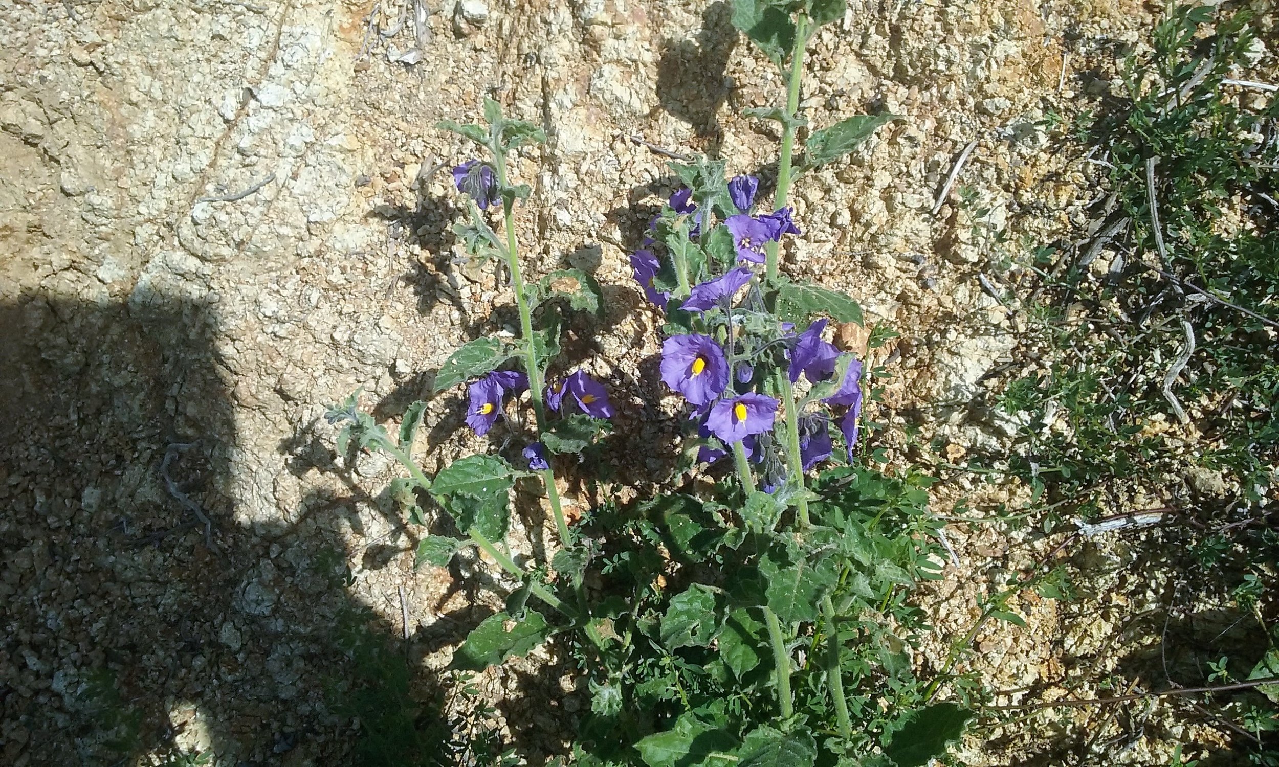
Prior to commencing the workday, Chairman Lopez led tribal members into a shielded green space to smudge the site by burning dried sage. Prayers offered, the team members started their work. Whooshing machetes opened up new spaces of sky as towering stalks of poison hemlock were felled. The hemlock has been crowding out a potentially healthy population of coast tarplant (Madia sativa) , a member of the sunflower family with ethnobotanical significance for the Amah Mutsun. Tribal members would like to manage the tarplant as their ancestors did, most particularly for the seeds, which were roasted, crushed, and mixed into pinole, a porridge-like staple of coastal California tribal diets. There is still tarplant at the site, but with hemlock prevalent, there is a danger of collecting the toxic hemlock seeds along with the tarplant.

The long-term plan is to revive the practice of burning the landscape here to restore a diverse suite of plants used by California Indians, including hazelnut, red maids, California lilac, and white root sedge (a basketry material) as well as purple needlegrass, California oatgrass, blue wild rye, and native barley. But Cuthrell says that burning now could perversely increase the number of invasives rather than knocking them back. “So we’re pulling out 20,000 hemlock plants,” he told me, “and we’ll do that year after year until we eradicate the seed bank.” As Lopez explained, “It took generations for this land to come unraveled and it will take seven generations to heal it. We don’t expect to get this done immediately but we must fulfill our obligation to Creator.”

RESTORING FIRE, TRUST, AND THE LAND
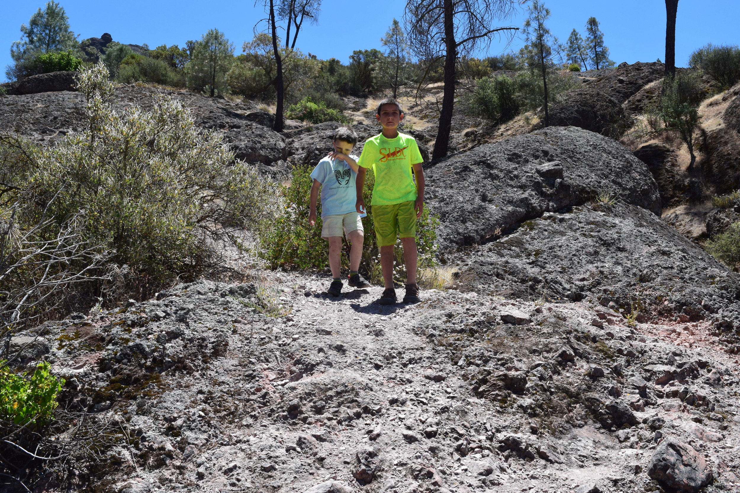
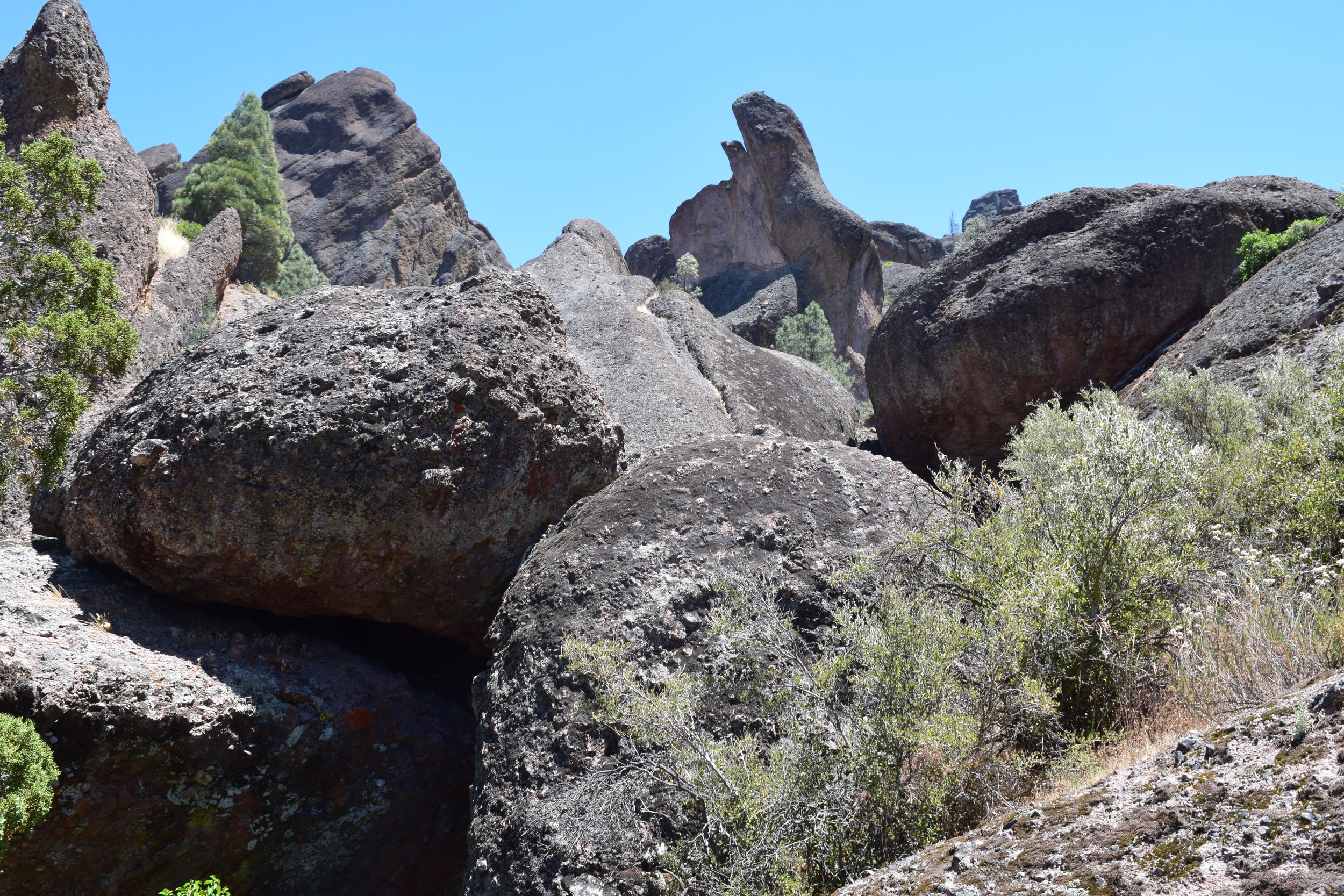
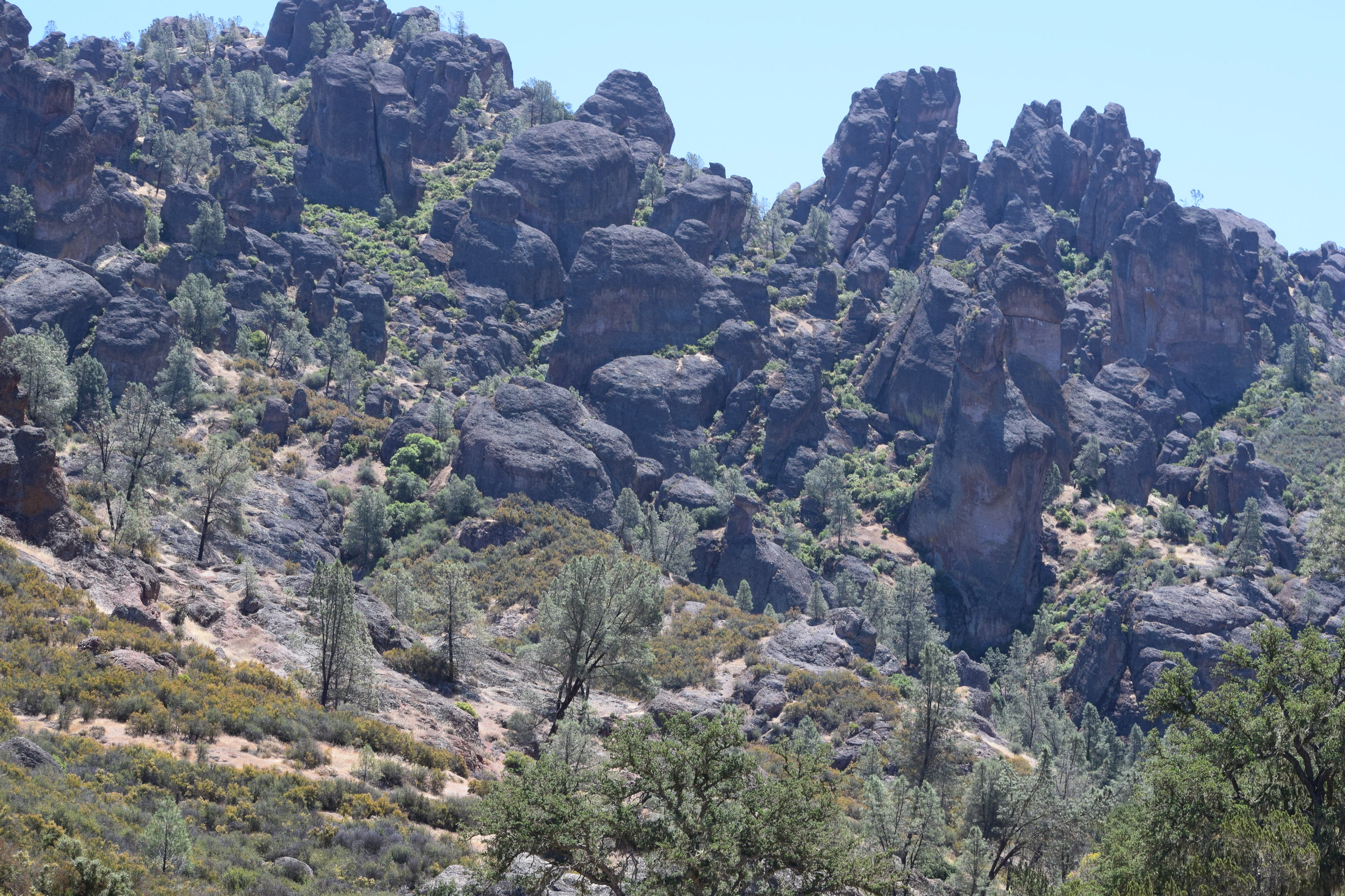
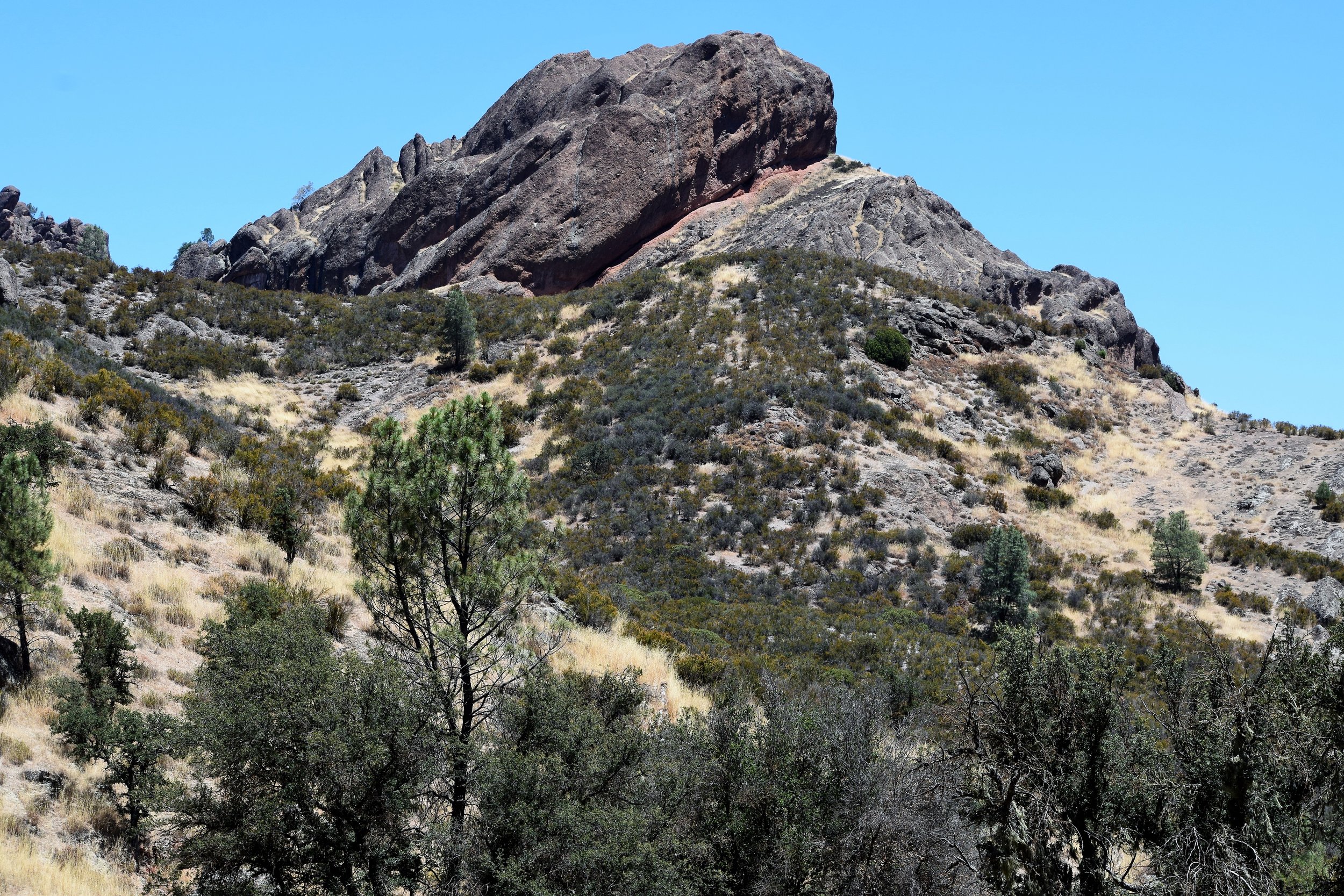
The Amah Mutsun’s work at the Quiroste Valley Cultural Preserve has been a jumping-off point for a range of partnerships aimed at restoring the tribe’s connections with its traditional practices. These include work with Pinnacles National Park, the University of California at Santa Cruz Arboretum, and the nonprofit Pie Ranch in Pescadero
Five years ago the Amah Mutsun took another big step toward reclaiming their role as environmental stewards by entering into an historic agreement with the Sempervirens Fund, the nation’s oldest conservation organization. Sempervirens was founded in 1900 to halt the destruction of the magnificent redwood forests of the Santa Cruz Mountains. “We were used to working with other natural resource management groups to protect ecological functioning here,” Reed Holderman, executive director emeritus of Sempervirens, told me. “But we didn’t really think about the cultural resources inherent in the landscape,” until Lopez and Amah Mutsun tribal members brought Quiroste to their attention. Organizations like Sempervirens have traditionally focused on acquiring land, but not on managing it once it is protected. “We desperately need to figure out how to take care of the land,” Holderman told me, “and the Amah Mutsun are poised to do it.”


Attempts at collaboration between tribal people and conservation groups have often been fraught and unproductive. But, Holderman recounted, “We spent three days in lockdown, asking ourselves how we could do things better,” and eventually the idea of an Amah Mutsun Land Trust emerged as a way to empower Mutsun authority on ancestral land despite the lack of federal sovereignty. “These people had everything taken from them,” says Holderman. “And yet they are restoring themselves and the land. This is an amazing story.”

The Memorandum of Agreement between Sempervirens and the Amah Mutsun includes provisions for descendant communities to access, manage, and restore the landscape, and Sempervirens pledges to work cooperatively with the tribe to develop educational programs to help the public understand the history and current-day situation of the land and the people.

Subsequent to the formation of the land trust, Sempervirens and the American Land Trust helped transfer into Mutsun hands a 90-acre easement on the Costanoa Lodge property just west of the Quiroste Preserve in the Whitehouse Creek watershed. As an easement, of course, the land is not “owned” by the Mutsun, but as Lopez said, “We don’t need to own the land to steward it,” and on this property they will be able to reinstitute tribal practices more directly than they are able to through partnerships.

In 2015, Sempervirens asked the Amah Mutsun to participate in planning for a burn in San Vicente Redwoods, a tract of second-growth redwood forest west of Boulder Creek. “When we purchased these 8,500 acres with the Peninsula Open Space Trust in 2011, it was the largest parcel of private property in the Santa Cruz Mountains,” Laura McLendon told me. McLendon is Director of Land Conservation at Sempervirens.

It was obvious to McLendon that fire would have to be part of the prescription for restoration of this heavily logged property. “It’s a landscape that’s hungry for fire,” she said. “Some of the plants there need fire to germinate or grow more robustly.” The area includes stands of oaks that may have been historically cultivated by Native Californians. “We went to Val Lopez and Rob Cuthrell and asked for their help in how to approach this,” she said. The resulting plan to burn 20 acres was thwarted by weather conditions in late 2015, but has been rescheduled for late fall 2016. “When we conduct a successful burn and quantify the benefits,” she told me, “we’ll help establish that this is an effective management tool.”

In his expedition journal from Portola’s 1769 voyage, Padre Juan Crespi duly documented mind-boggling fields of wildflowers, not realizing that the expedition he accompanied would lead to the demise of these blooms. Fire ecologist Richard Minnich, a professor at UC Riverside, told me that we could restore great beauty as well as better ecological functioning by reinstating fire practices on the land. “The wildflowers Crespi saw are still there,” he said. “They are waiting for fire to revive their seed banks.” Ultimately the science plus the history plus the traditional ecological knowledge uncovered at Quiroste will cohere when the Amah Mutsun can burn the landscape again. “Creator never rescinded our obligation to the Creation,” Valentin Lopez reminded me. He seemed to look off into the distance, and there was fire in his eyes.

Mary Ellen Hannibal is an award-winning environmental journalist and author of The Spine of the Continent (2012). Her new book, Citizen Scientist: Searching for Heroes and Hope in an Age of Extinction, will be published in August 2016.

Thanks to Sempervirens Fund, Christensen Fund and Kalliopeia Foundation for their financial support, and to Lindsie Bear (Heyday) and Beverly Ortiz (East Bay Regional Park District) for their assistance.

Join the Amah Mutsun Land Trust, Sempervirens Fund, and Bay Nature to learn more about the land trust and indigenous land stewardship. With Valentin Lopez and Mary Ellen Hannibal. Thursday, April 14, 6:00 pm at the David Brower Center, 2150 Allston Way, Berkeley.

More information at www.amahmutsun.org/land-trust

Read more about the innovative stewardship partnerships formed by the Amah Mutsun in New Paradigms for Stewardship

Troop 40300 Exploring Hazard's Reef Intertidal

Late in the afternoon, we made our way to Montana de Oro State Park to search for tidepool animals.  The scouts found tons of "Squishies" (sea anemones) a few tidepool sculpins, mussels, gooseneck barnacles and of course the kid favorite; hermit crabs. It was a marvelous way to end our field trip day, and the weather couldn't have been more perfect.

Hangin' @ Harbor Patrol Pier

The Girl Scouts visited the Morro Bay Harbor Patrol docks, and were treated to a lesson in knot tying and even got in a little tug-of-rope contest with a couple of officers.  The officers of Morro Bay Harbor Patrol have always been cordial and informative. They allow us to use their docks for marine science  activities,  Belly Biology, and they've taken Delphinus students on harbor cruises. Our students also get some insight into daily operations, including rescue operations.  Its was good to see lots of sea stars today, especially a large purple ochre star. It appears  they may be coming back from their near extinction caused by the viral wasting disease that nearly wiped out the sea star population on the Pacific Coast  The girls were excited about finding sea anemones attached to the dock's undersides, and a couple of male sea lions stopped by the docks. These bulls hang out near the Dockside Restaurant's pier, because of the fishing boats that frequent the spot. The carcasses from fileted rock fish provide readily available munchies for these rather lazy seals. 

Girl Scout Troop 40300 Exploring the Salt Marsh

Girl Scout Troop 40300 Exploring the Salt Marsh

We began our day at the top of White's Point, so the troop could get a visual perspective of the size of the estuary, and the fresh and salt water entry points.  The effects of the tide changes on water levels. was obvious, because Grassy Island and the surrounding mud, were clearly visible.  Next we explored the salt marsh, and the scouts examined horn snails, and observed the behavior o numerous shore birds probing the mud flats for worms, ghost shrimp, and crabs. . The girls wee really excited about hunting for crabs as well. They collected several in plastic containers, and then  we discussed how to tell the difference between genders, why they hid under rocks, and their general life cycle. There was a flock of White pelicans hanging out on the creek banks'  There were dozens of shorebirds taking advantage of the day's minus tides to probe the mud for food several yards off shore, and brown pelicans were diving for bait fish in the bay as well.  Not a bad way to start the afternoon.

Cero San Luis, Stenner Creek, and Port San Luis with Branch Elementary

Cero San Luis, Stenner Creek, and Port San Luis with Branch Elementary

Friday was another amazing experience with the students from Kristin Sullivan's class at Branch Elementary in Arroyo Grande. These students were avid outdoor enthusiasts, and many were really into hiking. There were plenty of other hikers on the trail, and a large contingent of mountain bikers as well. Fortunately we started our hike early before it got to crowded on the trail.  On the way up the peak, we ran into my friend Heidi Harmon, our recently elected Mayor in San  Luis Obispo. The view north and south was magnificent, the weather was ideal, and we were able to spot some of the early wildflowers like Indian paint brush, monkey flower, golden poppies, and several others.  We visited The Creek at Santa Rosa Park during lunch, and students were able to enjoy watching the rushing water and dipping the toes in the cascade of fresh water draining from the watershed just north of town. The latter part of the afternoon was spent exploring the pillow lava formations At Port San Luis in Avila Bay.

It's always gratifying to watch children exploring the outdoors, they seem to gravitate toward exploration inherently.  All of their various learning stages involved exploring their environments as an integral part of their self-education. Engaging all the senses is how most people come to develop personal relationships with nature. It is important that young people have opportunities to bond with the natural world.  

Cero San Luis And Port San Luis are two excellent examples of underwater volcanic activity. The volcanic plugs of the "Sisters" were first formed in Southern California during a period when the oceanic and continental plates were converging. The pillow lava that forms the bluffs near Port San Luis were formed at underwater vents, were molten hot lava seeping from the vents in the ocean floor, came in contact  with cold  ocean water. the balloon shapes are the result of the rapid cooling of the lava's crust as the lava extruded into the cold water. 

Exploring the Pinnacles Volcanic Formation

Exploring the Pinnacles Volcanic Formation

Plate Tectonics

When our video begins, continents had the form we know today; most of the world’s great mountain ranges were in place, and the Pacific Ocean was so far inland that many of California’s coastal mountains do not exist. But they are about to be born - thanks to something called plate tectonics.

Geologists believe that the earth’s crust is divided into immense plates that fit together like the pieces of a giant jigsaw puzzle. These plates are thought to be moving continually, mostly horizontally. According to geologic theory, the plates meet in at least three ways, and two of these are important to our story: subduction zones (where one plate moves beneath the other), and transform boundaries (where the two plates grind past one another). Sometime around sixty million years ago, when our video begins, the lighter-weight North American Plate began overriding or subducting the denser Farallon plate, and as it did, its outer edge acted as a bulldozer, scooping up great mounds of sea floor sediment: A series of north-south ridges slowly took shape, row upon row of mountainous rubble that, in the end, stretched like parallel pleats along much of California’s western edge. The Coast Range was in place.

The Pinnacles Volcano
But all was not peaceful in the depths of the earth. The subducted Farallon plate pushed ever under and downward, began melting, and as the two plates continued colliding, the tension cracks and fissures that formed were ready releases for the molten rock below. Time and again the magma made its way upward -- sometimes flowing out like hot taffy, other timesspewing forth in frenzied conflagrations. In some places the magma seeped into vertical cracks and hardened as a dike or wall. In other places it made its way along horizontal fissures to form a sort of underground lake which eventually solidified as a sill. Whatever the molten material’s form, one fact was certain: the age of volcanism had arrived.

Movement Along the Fault
No one can say for sure exactly when the Pinnacles volcano came into existence, though scientists estimate that it was twenty-two to twenty-three million years ago. What they can say with some certainty is that it began near Lancaster in Southern California. In the scheme of things, the Pinnacles volcano was nothing extraordinary. Like most of its counterparts, it began slowly, building itself up in stages that alternated between blazing pyroclastics, viscous oozes, and seeming dormancy. In the end it was fifteen miles long, five miles wide, and eight thousand feet high -- only slightly smaller than today’s Mount Saint Helens.

But it was not to last. Once the Farallon plate had been completely overridden, subduction ended. With no more magma to fuel them, the coastal volcanoes dried up and began eroding. But all was still not quiet in the tectonic zone. For right behind the Farallon plate was the Pacific plate, and rather than being subducted like its predecessor, it ground against the North American plate’s western edge until a small portion of the American plate snapped along the stress lines and became attached to the Pacific plate’s upper edge.

A transform boundary had come into being. And so has the San Andreas fault zone, a crack in the earth that stretched more than six hundred miles from the Gulf of Mexico to the Mendocino coast north of San Francisco. Directly in its path, and now astride the two plates, was the Pinnacles volcano. As the newly broken sliver of California began its strike-slip displacement journey northwest, thanks to the movement of the Pacific plate, it took with it two-thirds of the Pinnacles’ volcanic mass. Pinnacles now lies 195 miles north of its birthplace near Los Angeles, CA. The journey is far from over, however, as the San Andreas fault zone continues to slip at a rate of 1 inch/year.

Erosion
Somewhere along the way, the partial volcano -- trapped between the San Andreas on one side and a lesser fault (now called the Pinnacles fault) on the other -- began sinking downward until most of its bulk lay in a graben or ditch where it was protected by the fault-line ramparts rising high above it. In time the ramparts eroded, exposing Pinnacles to the full fury of wind, rain, and ice.

Thousands of feet of overlying rubble gradually wore away. Steep ravines developed; monoliths and colonnades took their place beside massive walls and lonely pillars; boulders fell from lofty recesses to overtop narrow stream channels. It was a world of gentle canyons and fractured ridges, breathtaking vistas and eerie silence, glowing colors and inhospitable soil. But most of all, it was young while it was old, for Pinnacles was forever rearranging its features.

The igneous rocks of Pinnacles vary widely in their texture and color. However, they are all members of the rhyolitic group, which are dominated by quartz and feldspar. The variations are caused by differences in minor mineral content, type of extrusion, rapidity of cooling and exposure to weathering.

The following is an annotated list of common rock types at Pinnacles:

Breccia: Reddish to grey in color, molten rock is explosively ejected with many fragments welded into a lava or tuff matrix. Breccia dominates the High Peaks and other megalithic formations.

Flow-banded Rhyolite: A viscous fine-grained lava, which develops stretch marks, analogous to pulling taffy as it cools.

Pumice Lapilli Tuff: A welded volcanic ash, made up of sand sized particles. One theory suggests that weathering of magnesium and chromium bearing minerals produces this green color. The Bear Gulch Nature Center is constructed of this rock.

Perlite: An opaque form of volcanic glass which cooled rapidly in water.

Dacite: A light colored lava containing high proportions of quartz and feldspar. At Pinnacles it is associated with dikes.

Andesite: Similar to dacite, this rock has more dark colored minerals.

The High Peaks consists of a relatively strong, well-consolidated breccia. The layers of breccias are thought to have formed as the result of material slumping off the sides of the volcano near the vents causing large landslides. The volcano was likely near water and the landslides traveled as massive turbidity currents under water that spread the material considerable distances until coming to rest near distant edges of the volcano. Volcanic ash and rhyolitic lava flows are interlayered with these breccias. Subsequent burial and compaction hardened these layers into the consolidated rock we see today. Recent faulting, fracturing and erosion have sculpted these rock layers into vertical cliffs and spires sometimes several hundred feet high.

Additional Links

http://sfnps.org/geology

Branch Elementary Students investigating Pillow Lava @ Port San Luis

Branch Elementary Students investigating Pillow Lava @ Port San Luis

Pillow lava is formed when hot magma extrudes from below the Earth's crust through injection dykes (vents) in the plates that make up the crust. Extruded lava cools rapidly when it contacts water, which promotes the forming of balloon-like or pillow shapes. the size of the pillow depends on how rapidly the lava extrudes.  Rapid extrusion causes a series of bubble bursts' Pillow lava can also form under glaciers. Quartz and serpentine  are common minerals found in igneous pillow lava rocks. At Port San Luis in Avila Bay, the bluffs north of the pier display an amazing array of pillow lava formations.

Branch Elementary 4th graders exploring Cero San Luis.

Branch Elementary 4th graders exploring Cero San Luis.

What an amazing Day, the sky was crystal clear, azure blue, and visibility from the top of Cero San Luis was 15 miles North and South. We could see Pismo Beach and Morro Bay National Estuary. Its also a great place to view the line of volcanic plugs dubbed the "Seven Sisters", by locals. Geologists however, suggest that there is evidence of at least a dozen or more plugs in this chain.  There are a series of unnamed land forms connecting the peaks. Morro Rock is iconic, even though it's one of the lowest in elevation among the plugs.  Cero San Luis was in rare form, with new vegetation sprouting everywhere. There was also ample evidence of the power of the wind. Several sturdy looking oak trees had been toppled. There was also evidence of land slides, and there were actually waterfalls and cascading water in nearly every ravine on the slopes..

Branch Elementary @ Morro Bay

One of our first outings was to Morro Bay Estuary where students examined plankton samples collected in bottles. Students also examined  invertebrates and crustaceans who make the undersides of the boat docks their homes. Sponges, tunicates, bryozoans, anemones, barnacles, mussels and kelp crabs are plentiful. Nudibranchs and other sea slugs are occasionally spotted as well.  Although the life under the piers and docks goes largely unnoticed, invertebrate populations a far more varied and numerous than other marine organisms.

Exploring Oso Flaco Lake

Collaboration with local educators has been one our goals, as providers of outdoor science education. Beginning in the Fall of 2015, we've been partnering with teachers from Branch Elementary in Arroyo Grande, Ca. These "Friday Field Trips" cover various topics in Life Science, Earth Science, Natural History, and Marine Science.

Delphinus School of Natural History  began providing field trips to local elementary students from Branch Elementary in Arroyo Grande, Ca 

Delphinus School of Natural History  began providing field trips to local elementary students from Branch Elementary in Arroyo Grande, Ca